Browse / Italy / Piedmont / Riva Valdobbia / Riifu
Riva Valdobbia / Riifu
Piedmontvillage

Riva Valdobbia / Riifu
Total population
152
Demographic figures from ISTAT. Overview below cites Wikipedia and may reference a different year.
City facts
Facts from Wikidata (CC0).
Overview
Riva Valdobbia is a fraction in the Province of Vercelli in the Italian region Piedmont, located about 90 kilometres (56 mi) north of Turin and about 70 kilometres (43 mi) northwest of Vercelli. It's an Italian town of 265 inhabitants located in the upper Valsesia, in the province of Vercelli, in Piedmont.
Read more on WikipediaHistory & geography
Geography
The fraction of Riva Valdobbia is near the end of the Valsesia, the main Sesia Valley. It is a touristic place with a cross-country ski ring and an ice car track during the winter. It is known to be the only town where the south-east side of the Monte Rosa. Mollia, the town downriver, is behind a bend of the valley. West of Riva Valdobbia town, opens the Val Vogna, a side valley just in part served by paved road, on the old so-called Antica via d'Aosta "ancient Aosta Track", that united Riva Valdobbia with Gressoney-Saint-Jean through the colle di Valdobbia, the Valdobbia Pass. The name Riva is a common toponymic in Italy and easy to explain: the main town is on the edge of a cliff overlooking the crossing of the Sesia river and the Vogna torrent; thus it is on a steep slope, a Riva It is a popular belief that Valdobbia came from emigration traditions of seasonal works in France through the "Ancient Aosta Track". Families went up the Vogna Valley as Vanno in obbia, going to the balcony (obbia=Lobbia=Loggia), to see if the head of their household was coming back through the pass: hence the Valdobbia pass. That tradition was even supported by Tonetti, a local historian, while "Valdobbia" name existed well before the local people started to move regularly through the valley. De Saussure supposed the name val-dobbia came from the French doubler, overpass. Before that, Amé Gorret offered the translation of Val Dubbia, the valley in doubt, contended between the people of Gressoney and Valsesian—the border between the two went back and forth during history. The most ancient document so far found about the places gave probably the easiest answer: in 1251, Walser pioneers got permission to colonize the ground they could find going behind the mountain pass above…
Excerpted from the corresponding Wikipedia article (CC BY-SA).
Geography
Coordinates & boundaries from the US Census TIGER/Line shapefiles.
Climate
Air quality
Walkability
Amenities nearby
Wildlife & biodiversity
Earthquake history
Photos
Sights & places nearby
Notable people from here


People born within ~10 km, from Wikidata (CC0). Click any name for their Wikipedia article.
Nearby places in Piedmont
- Rima4.3 mi away · pop. 32
- Rassa5.3 mi away · pop. 71
- Quare5.5 mi away
- Piedicavallo9.9 mi away · pop. 187
- Cervatto10.6 mi away · pop. 49
- Rimella12.1 mi away · pop. 142
- San Carlo13.7 mi away
- Bannio14 mi away · pop. 582
- Anzino14.3 mi away
- Coggiola14.6 mi away · pop. 2,029
- Crevola Sesia14.7 mi away
- Sagliano Micca14.9 mi away · pop. 1,676
Geography & sun
Elevation, sunrise/sunset and daylight from Open-Meteo. Solar climatology from NASA POWER.
Nearby airports
Public attention
Pageview totals from the Wikimedia Pageviews API.
Books about this place
Recent natural events nearby
Ground air-quality sensors
Recently spotted species
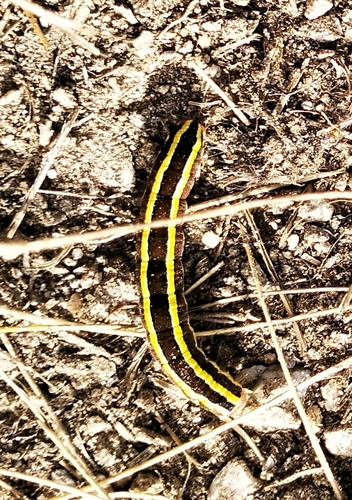
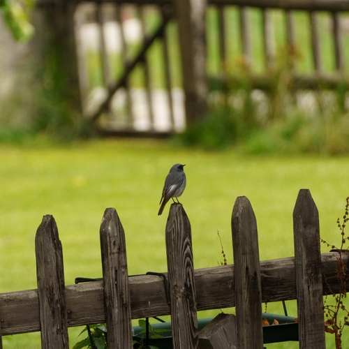
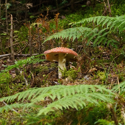
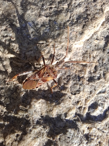
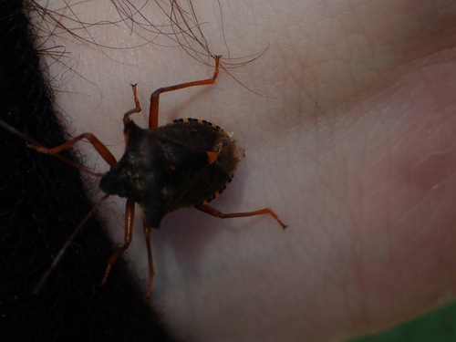
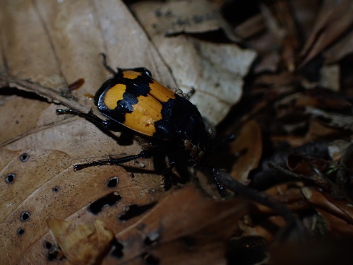
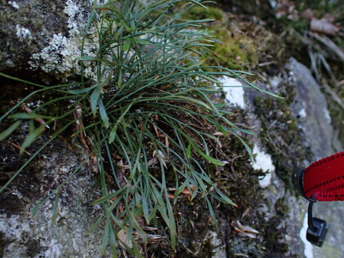
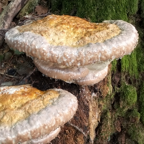
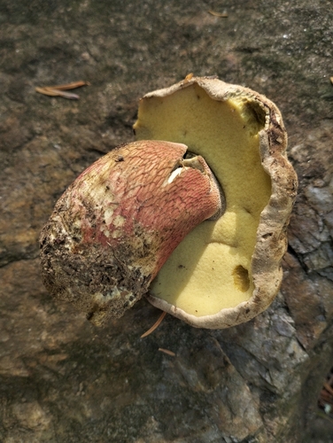
Research-grade observations from iNaturalist (within ~15 mi).
Events
Gallery
Sources
- • Wikipedia
- • Wikidata
- • iNaturalist
- • Open-Meteo / sunrise-sunset.org
- • Wikipedia Pageviews API