Browse / Italy / Umbria / Rivotorto
Rivotorto
Umbriavillage

Rivotorto
Total population
1,388
Demographic figures from ISTAT. Overview below cites Wikipedia and may reference a different year.
City facts
Facts from Wikidata (CC0).
Overview
Rivotorto is a frazione of the comune of Assisi in the Province of Perugia, Umbria, central Italy. It stands at an elevation of 211 m (692 ft) above sea level. At the time of the Istat census of 2001 it had 1284 inhabitants. The name comes from a small river that flows through the frazione. In the Umbrian dialect, rivo means 'stream'.
Read more on WikipediaHistory & geography
Geography
Coordinates & boundaries from the US Census TIGER/Line shapefiles.
Climate
Air quality
Walkability
Amenities nearby
Wildlife & biodiversity
Earthquake history
Photos
Sights & places nearby
Notable people from here


People born within ~10 km, from Wikidata (CC0). Click any name for their Wikipedia article.
Nearby places in Umbria
- San Vitale1 mi away · pop. 602
- Case Nuove1.8 mi away · pop. 571
- Castelnuovo1.9 mi away · pop. 719
- Capitan Loreto2.3 mi away · pop. 1,027
- Santa Maria degli Angeli2.3 mi away · pop. 8,188
- Tordandrea3.3 mi away · pop. 898
- Bastia Umbra3.8 mi away · pop. 17,552
- Cannara3.9 mi away · pop. 2,829
- Palazzo4.5 mi away · pop. 1,811
- Spello4.6 mi away · pop. 4,116
- Cantalupo5.7 mi away · pop. 327
- Petrignano6 mi away · pop. 3,306
Geography & sun
Elevation, sunrise/sunset and daylight from Open-Meteo. Solar climatology from NASA POWER.
Nearby airports
Public attention
Pageview totals from the Wikimedia Pageviews API.
Books about this place
Recent natural events nearby
Ground air-quality sensors
Recently spotted species
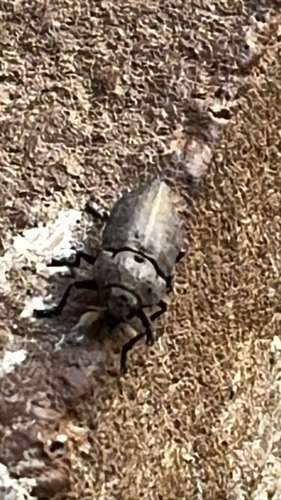

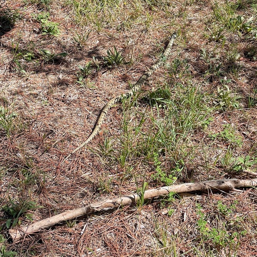

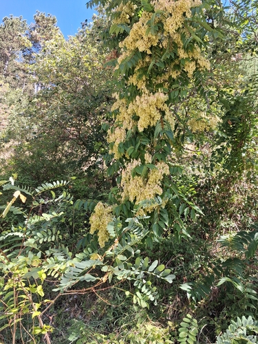



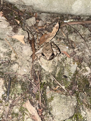
Research-grade observations from iNaturalist (within ~15 mi).
Events
Gallery
Sources
- • Wikipedia
- • Wikidata
- • iNaturalist
- • Open-Meteo / sunrise-sunset.org
- • Wikipedia Pageviews API