Browse / Italy / Tuscany / San Marcello Pistoiese
San Marcello Pistoiese
Tuscanyvillage

San Marcello Pistoiese
Total population
6,416
Demographic figures from ISTAT. Overview below cites Wikipedia and may reference a different year.
City facts
Facts from Wikidata (CC0).
Overview
San Marcello Pistoiese was a comune (municipality) in the Province of Pistoia in the Italian region Tuscany, located about 45 kilometres (28 mi) northwest of Florence and about 15 kilometres (9 mi) northwest of Pistoia. It has been a frazione of San Marcello Piteglio since 2017.
Read more on WikipediaHistory & geography
History
Before the Roman conquest (3rd-2nd centuries BC), the area was likely inhabited by some Italic tribe, such as the Ligures. The Roman senator Catilina died in 62 BC in a battle not far from here. During the Middle Ages, San Marcello was an independent commune (13th century), until it fell to Pistoia in the late 14th century. The frazione of Gavinana was the location of the eponymous battle in 1530. The original settlement started to grow substantially after the construction of the road connecting Pistoia to Modena, which passed through it (1781). In 1864 it was connected by the Ferrovia Porrettana, from Pistoia to Bologna, later expanded with an electric tramway line (Ferrovia Alto Pistoiese), from Pracchia to San Marcello. The town has the longest pedestrian suspension bridge in Italy, Ponte sospeso di San Marcello Piteglio, connecting the frazione of Mammiano Basso and Popiglio, and spanning the river Lima. Among other sites are the parish church of San Marcello and the deconsecrated church of Santa Caterina, once affiliated with a convent of nuns.
Excerpted from the corresponding Wikipedia article (CC BY-SA).
Geography
Coordinates & boundaries from the US Census TIGER/Line shapefiles.
Climate
Air quality
Walkability
Amenities nearby
Wildlife & biodiversity
Earthquake history
Photos
Sights & places nearby
Notable people from here


People born within ~10 km, from Wikidata (CC0). Click any name for their Wikipedia article.
Nearby places in Tuscany
Geography & sun
Nearby airports
Public attention
Books about this place
Recent natural events nearby
Ground air-quality sensors
Recently spotted species
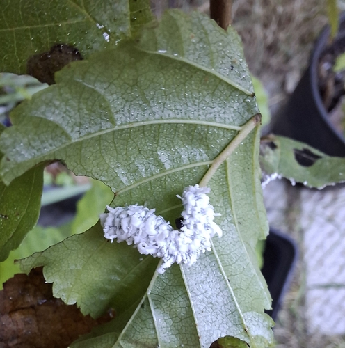
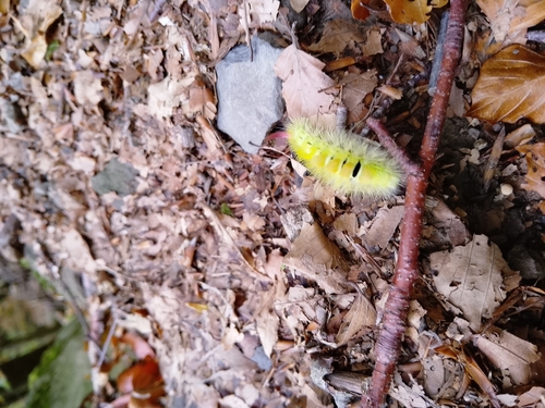
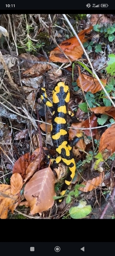
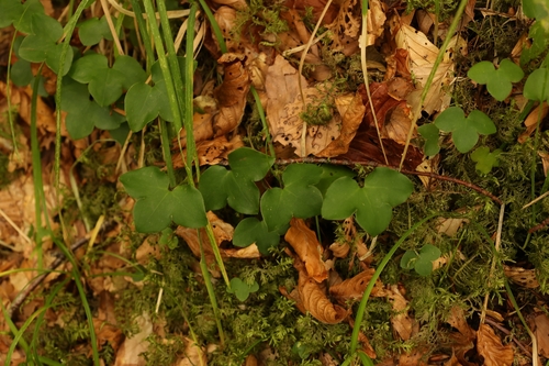
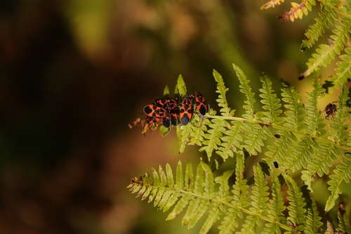
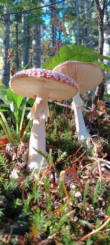
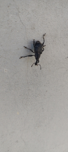
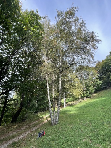
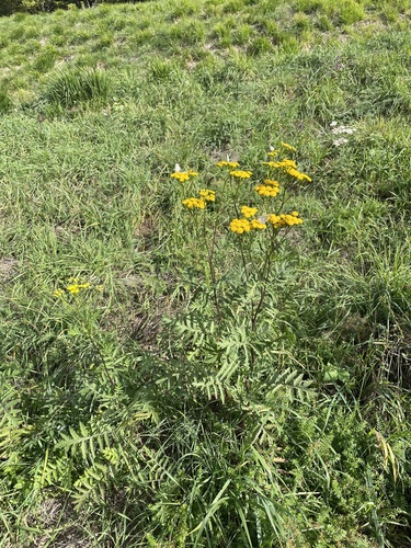
Research-grade observations from iNaturalist (within ~15 mi).
Events
Gallery
Official Identifiers
ISTAT — Italian National Institute of Statistics
- ISTAT code
- 047019
- Population (Wikidata)
- 6,370
- Wikidata
- Q102736
Elenco comuni italiani (CC BY 3.0 IT)
Sources
- • Wikipedia
- • Wikidata
- • iNaturalist
- • ISTAT — Italian national statistics (Elenco comuni italiani), via istat.it (official ISTAT code, province, region, NUTS3, codice catastale)
- • ISTAT — Italian National Institute of Statistics — Elenco comuni italiani (CC BY 3.0 IT)