Browse / Italy / Basilicata / Satriano di Lucania
Satriano di Lucania
Basilicatavillage

Satriano di Lucania
Total population
2,353
Demographic figures from ISTAT. Overview below cites Wikipedia and may reference a different year.
City facts
Sister cities
Facts from Wikidata (CC0).
Overview
Satriano di Lucania is a town and comune in the province of Potenza, in the Southern Italian region of Basilicata.
Read more on WikipediaHistory & geography
History
In the Middle Ages it was a small village called Pietrafixa (crushed stone, probably due to the geomorphological characteristics of the place), later Italianized in Pietrafesa until 1887, when the Municipal Administration decided to change the toponym in Satriano, borrowed by the ancient Lucan stronghold Satrianum, whose ruins are located on the mountain behind, to strengthen its historical ties with it. In the 16th century, the town gave the nickname to the painter Giovanni De Gregorio. In the late 19th century, the highest population growth was recorded, with almost 3000 inhabitants. In the early 1900s (1910 - 1921), many families chose to emigrate to both North America and South America. First Some of the men came to places like New York and New Jersey. One family, Rocco Langieri, first came to New Jersey with his two oldest son's, Raphael and Salvatore around 1915 and followed later by his wife Maria and the two youngest children, Filemena and Michele. Their older married daughter, Maria Palermo and her family moved to Montevideo, Uruguay. This was typical of the emigration patterns. Over the years, the families of these Satrianese continued to move as far as California and Florida and beyond. Since the end of the 20th century the municipal administration has begun to promote the village through the spread on the walls the so-called "murals", paintings representing the history, culture and society of the small Lucanian town. Since then these frescoes have become the main tourist attraction in the area.
Excerpted from the corresponding Wikipedia article (CC BY-SA).
Geography
Coordinates & boundaries from the US Census TIGER/Line shapefiles.
Climate
Air quality
Walkability
Amenities nearby
Wildlife & biodiversity
Earthquake history
Photos
Sights & places nearby
Notable people from here
Geography & sun
Elevation, sunrise/sunset and daylight from Open-Meteo. Solar climatology from NASA POWER.
Nearby airports
Public attention
Pageview totals from the Wikimedia Pageviews API.
Books about this place
Recent natural events nearby
Ground air-quality sensors
Recently spotted species
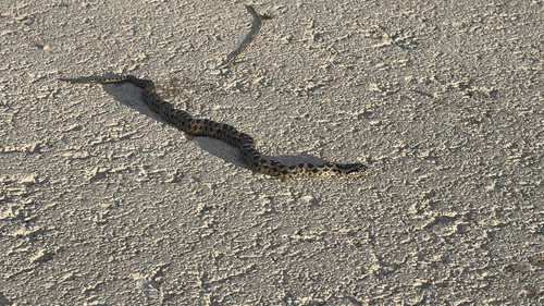
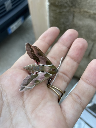
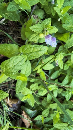
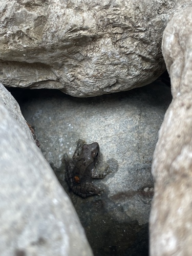
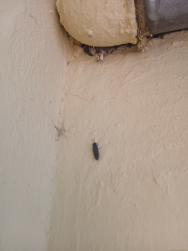
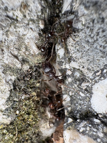
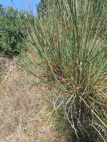
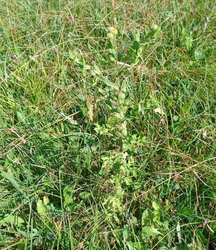
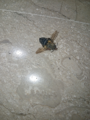
Research-grade observations from iNaturalist (within ~15 mi).
Events
Gallery
Official Identifiers
ISTAT — Italian National Institute of Statistics
- ISTAT code
- 076083
- Province
- Potenza (PZ)
- Region
- Basilicata
- NUTS3 (2024)
- ITF51
- Codice catastale
- G614
Elenco comuni italiani (CC BY 3.0 IT)
Sources
- • Wikipedia
- • Wikidata
- • iNaturalist
- • Open-Meteo / sunrise-sunset.org
- • Wikipedia Pageviews API
- • ISTAT — Italian national statistics (Elenco comuni italiani), via istat.it (official ISTAT code, province, region, NUTS3, codice catastale)
- • ISTAT — Italian National Institute of Statistics — Elenco comuni italiani (CC BY 3.0 IT)