Browse / Italy / Lazio / Settecamini
Settecamini
Laziovillage

Settecamini
Demographic figures from ISTAT. Overview below cites Wikipedia and may reference a different year.
City facts
Overview
Settecamini is the 6th zona of Rome, identified by the initials Z. VI.. Settecamini is also the name of the urban zone 5L, within the Municipio V of Rome.
Read more on WikipediaHistory & geography
History
The first settlements in the area can be dated to the Roman Republican era: the neighbourhood developed around the Via Tiburtina Roman road and a crossroads, and included two Roman inns and many Roman villas and tombs. In the Middle Age, the locality was called Campo dei Sette Fratelli ("Field of the Seven Brothers") or Forno dei Septe Fratri ("Oven of the Seven Brothers"): both names were related to the legend of Saint Symphorosa and her seven children, (Crescens, Eugenius, Julian, Justin, Nemesius, Primitivus and Stracteus), martyred in the near Tibur (present Tivoli, Lazio, Italy) toward the end of the reign of the Roman Emperor Hadrian. Later, it was called simply Forno ("Oven") or Osteria del Forno ("Tavern of the Oven"), in reference to a farmstead located south of Via Tiburtina, which is currently known as Casale di Settecamini. The current toponym Settecamini began to be used in the second half of the 19th century, and the Rome municipality toponymic dictionary states that it derived from "the seven chimneys ("sette camini") of the building known as Il Fornaccio. A small church, in late Baroque style, was built in 1700 at the crossroads between Via Tiburtina and Via Casal Bianco. The modern settlement developed as a rural village at the beginning of the twentieth century, on some lands owned by the Duke Leopoldo Torlonia. Later, some houses were assigned to the First World War veterans. The inhabited area has now an extension of 21.612 km2 and a population of about 19,000 inhabitants. Discovered in 1951 it is located at 9th mile of the Tiburtina (whose ancient pavement is visible), halfway between Rome and Tibur (Tivoli), where the Via Tiburtina crossed the road that led from the Aniene river to Etruria and Sabina. It was a settlement with several…
Geography
Settecamini is located in the eastern part of the city, near the Grande Raccordo Anulare, and borders the municipality of Guidonia Montecelio. The territory of Settecamini includes the urban zones 5L Settecamini and 5I Sant'Alessandro. To the north, Settecamini borders with Zona Tor San Giovanni (Z. V), whose boundary is marked by the stretch of Via Nomentana between the Grande Raccordo Anulare and Via Palombarense. Eastward, the zona shares the border with the municipality of Guidonia Montecelio, up to the river Aniene. Southward, Settecamini borders with Zona Lunghezza (Z. X) and with Zona Acqua Vergine (Z. IX): the border is outlined by the river Aniene, up to the Grande Raccordo Anulare. To the west, Settecamini borders with Zona Tor Cervara (Z. VII), whose boundary is marked by the stretch of the Grande Raccordo Anulare between the Aniene and Via Tiburtina, and with Quartiere San Basilio (Q. XXX), whose boundary is marked by the GRA itself, up to Via Nomentana. The frazioni of Case Rosse and the urban areas of Casal Monastero and Sant'Alessandro belong to Settecamini. In the area of Casal Monastero, along the Via Nomentana, streets and squares are named after ancient and modern cities of Sabina and personalities related to that region (which was the terminus of the Via Nomentana), while other odonyms in the area near to the Via Tiburtina refers to the ancient history of Tivoli. Other streets and squares are chiefly dedicated to medieval authors, municipalities of Abruzzo and Molise (in the frazione of Case Rosse) and to engineers and scientists (in the area of Tecnopolo). Odonyms of the zone can be categorized as follows: * Industrialists, e.g. Via Giovanni Armenise, Largo Filippo Fratalocchi, Via Adriano Olivetti, Via Giacomo Peroni; * Local toponyms, e.g.…
Excerpted from the corresponding Wikipedia article (CC BY-SA).
Geography
Coordinates & boundaries from the US Census TIGER/Line shapefiles.
Climate
Air quality
Walkability
Amenities nearby
Wildlife & biodiversity
Earthquake history
Photos
Sights & places nearby
Notable people from here
Nearby places in Lazio
- Casal Monastero1.3 mi away · pop. 502
- Setteville1.3 mi away
- Marco Simone2.6 mi away · pop. 12,361
- Lunghezza2.9 mi away
- Colle Prenestino3.3 mi away · pop. 7,500
- Colle Monfortani3.5 mi away · pop. 952
- Albuccione3.9 mi away
- Torrenova4.2 mi away
- Bivio di Guidonia4.5 mi away
- Torre Angela4.8 mi away
- Tivoli Terme4.9 mi away
- Colle Fiorito5 mi away · pop. 8,670
Geography & sun
Elevation, sunrise/sunset and daylight from Open-Meteo. Solar climatology from NASA POWER.
Nearby airports
Public attention
Pageview totals from the Wikimedia Pageviews API.
Books about this place
Recent natural events nearby
Ground air-quality sensors
Recently spotted species
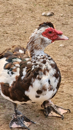
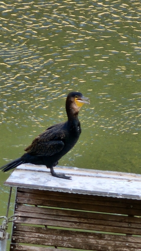
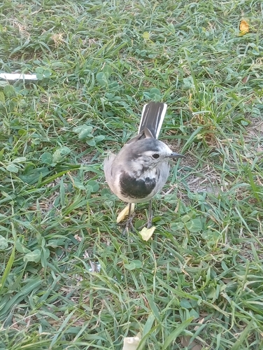
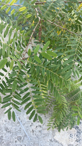
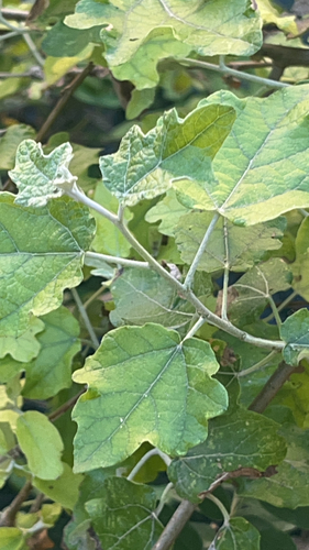
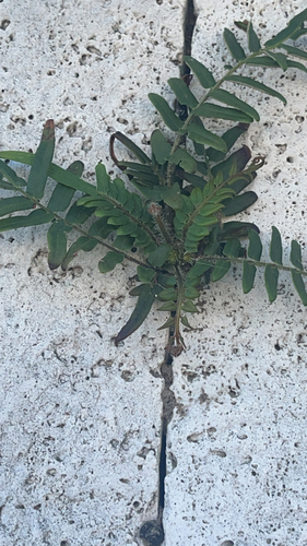
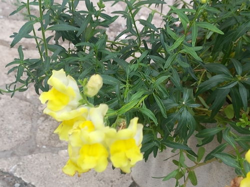
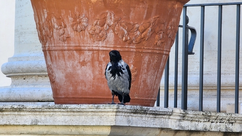
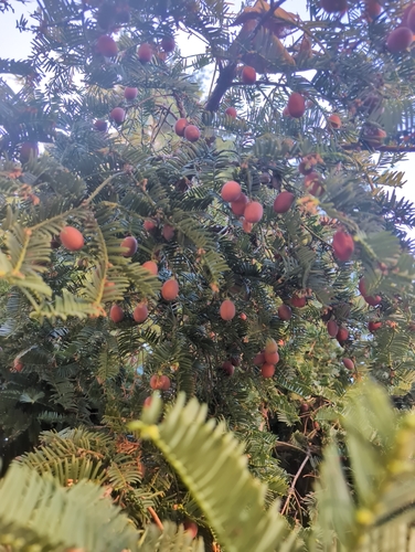
Research-grade observations from iNaturalist (within ~15 mi).
Events
Gallery
Sources
- • Wikipedia
- • iNaturalist
- • Open-Meteo / sunrise-sunset.org
- • Wikipedia Pageviews API