Browse / Italy / Apulia / Taranto
Taranto
Apuliacity

Taranto
Total population
201,100
Demographic figures from ISTAT. Overview below cites Wikipedia and may reference a different year.
City facts
Facts from Wikidata (CC0).
Overview
Taranto, historically also called Tarent in English, is a coastal city in Apulia, Southern Italy. It is the capital of the province of Taranto, serving as an important commercial port as well as the main base of the Italian navy. With a population of 185,112 as of 2026, Taranto is the second-largest city in Apulia.
Read more on WikipediaHistory & geography
History
Taranto was founded in 706 BC by Dorian Greek immigrants hailing from Sparta. Its origin is peculiar: the founders were Partheniae ("sons of virgins"), sons of unmarried Spartan women and Perioeci (free men, but not citizens of Sparta); these out-of-wedlock unions were permitted extraordinarily by the Spartans to increase the prospective number of soldiers (only the citizens of Sparta could become soldiers) during the bloody Messenian Wars, but later they were retroactively nullified, and the sons were then obliged to leave Greece forever. Phalanthus, the Parthenian leader and founder (Oikistes), went to Delphi to consult the oracle: the puzzling answer designated the harbour of Taranto as the new home of the exiles. The Partheniae arrived in Apulia, and founded the city, naming it Taras after the son of the Greek sea god, Poseidon, and of a local nymph, According to other sources, Heracles founded the city. Another tradition indicates Taras as the founder of the city; the symbol of the Greek city (as well as of the modern city) depicts the legend of Taras being saved from a shipwreck by riding a dolphin that was sent to him by Poseidon. Taranto increased its power, becoming a commercial power and a sovereign city of Magna Graecia. Politically and militarily, Archytas appeared to have been the dominant figure in Tarentum in the first half of the 4th century, somewhat comparable to Pericles in Athens a half-century earlier. The Tarentines elected him strategos ("general") seven years in a row, a step that required them to violate their own rule against successive appointments. Archytas was allegedly undefeated as a general in Tarentine campaigns against their southern Italian neighbors. In 303 BC, Sparta sent Cleonymus, the brother of king Areus I, commanding…
Geography
Taranto faces the Ionian Sea. It is above sea level. It was built on a plain running north/north-west–southeast, and surrounded by the Murgia plateau from the north-west to the east. Its territory extends for and is mostly underwater. It is characterised by three natural peninsulas and a man-made island, formed by digging a ditch during the construction of Aragon Castle. The city is known as the "city of two seas" because it is washed by the Big Sea in the bay between Punta Rondinella to the northwest and Capo San Dante to the south, and by the vast reservoir of the Little Sea. The Big Sea (or "Mare Grande") is frequently known as the Big Sea bay as that is where ships harbour. It is separated from the Little Sea (or "Mare Piccolo") by a cape which closes the gulf, leading to the artificial island. This island formed the heart of the original city and it is connected to the mainland by the Ponte di Porta Napoli and the Ponte Girevole. The Big Sea is separated from the Ionian Sea by the Capo San Vito, the Isole Cheradi of St Peter and St Paul, and the three islands of San Nicolicchio, which are completely incorporated by the ILVA steelworks. The latter form a little archipelago which closes off the arc creating the natural Big Sea bay. The Little Sea is considered to be a lagoon so it presents problems of water exchange. It is virtually divided into two by the Ponte Punta Penna Pizzone, which joins the Punta Penna to the Punta Pizzone. The first of these forms a rough triangle, whose corners are the opening to the east and the Porta Napoli channel linking it to the Big Sea in the west. The second half forms an ellipse whose major axis measures almost from the south-west to the north-east. The Galeso river flows into the first half. The two water bodies have…
Excerpted from the corresponding Wikipedia article (CC BY-SA).
Geography
Coordinates & boundaries from the US Census TIGER/Line shapefiles.
Climate
Air quality
Walkability
Amenities nearby
Wildlife & biodiversity
Most-observed species
- Eurasian KestrelFalco tinnunculus Linnaeus, 1758 · Aves145
- Eurasian MagpiePica pica (Linnaeus, 1758) · Aves144
- European RobinErithacus rubecula (Linnaeus, 1758) · Aves119
- Yellow-legged GullLarus michahellis J.F.Naumann, 1840 · Aves110
- European SerinSerinus serinus (Linnaeus, 1766) · Aves108
- Common BuzzardButeo buteo (Linnaeus, 1758) · Aves104
- Mastic TreePistacia lentiscus L. · Magnoliopsida97
- Black-headed GullChroicocephalus ridibundus (Linnaeus, 1766) · Aves96
Citizen-science & research observations from the Global Biodiversity Information Facility (GBIF).
Earthquake history
Most recent
- M 4.2 — 2026-03-0626 km ESE of Marina, Italy
- M 4.4 — 2024-08-2725 km NNE of Cariati, Italy
- M 4.1 — 2018-03-2311 km NNE of Ostuni, Italy
- M 2.8 — 2008-03-107 km NE of Mirto, Italy
- M 3.3 — 2008-03-108 km NE of Mirto, Italy
- M 2.6 — 2007-09-116 km SE of Rocca Imperiale Marina, Italy
Events from the USGS Earthquake Catalog (global) (FDSN Event Web Service).
Photos
Sights & places nearby
Notable people from here


People born within ~10 km, from Wikidata (CC0). Click any name for their Wikipedia article.
Nearby places in Apulia
- Buffoluto2.6 mi away
- Talsano4.8 mi away · pop. 45,612
- Statte6.6 mi away · pop. 13,983
- San Giorgio Ionico7.2 mi away · pop. 15,344
- Monteiasi7.5 mi away · pop. 5,199
- Leporano7.7 mi away · pop. 5,810
- Roccaforzata8 mi away · pop. 1,756
- Montemesola8.1 mi away · pop. 4,277
- Carosino8.2 mi away · pop. 6,423
- Faggiano8.3 mi away · pop. 3,513
- Pulsano8.4 mi away · pop. 11,311
- Monteparano9.2 mi away · pop. 2,411
Geography & sun
Elevation, sunrise/sunset and daylight from Open-Meteo. Solar climatology from NASA POWER.
Nearby airports
Public attention
Pageview totals from the Wikimedia Pageviews API.
Books about Taranto
Search results from Open Library.
Recent natural events nearby
Ground air-quality sensors
Recently spotted species
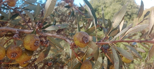
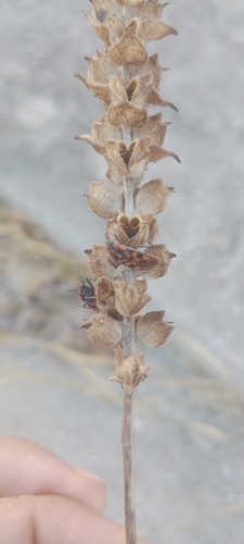
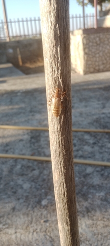
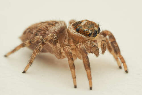
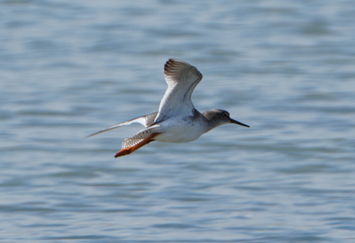
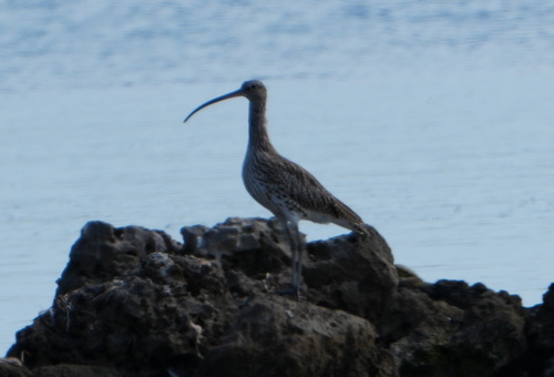
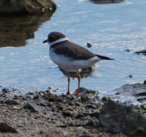
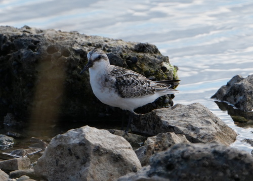
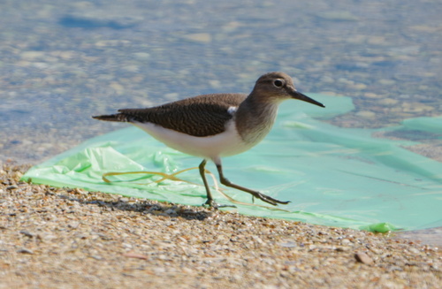
Research-grade observations from iNaturalist (within ~15 mi).
Events
Notable, recurring, and historical events associated with Taranto, sourced from Wikidata.
- Aug 28, 2026
- Aug 28, 2026
Source: Wikidata (CC0).
Gallery
Official Identifiers
ISTAT — Italian National Institute of Statistics
- ISTAT code
- 073027
- Province
- Taranto (TA)
- Region
- Puglia
- NUTS3 (2024)
- ITF43
- Codice catastale
- L049
- Province capital
- Yes
Elenco comuni italiani (CC BY 3.0 IT)
Sources
- • Wikipedia
- • Wikidata
- • USGS Earthquake Catalog (global feed)
- • GBIF (Global Biodiversity Information Facility)
- • iNaturalist
- • Open-Meteo / sunrise-sunset.org
- • Wikipedia Pageviews API
- • Open Library
- • ISTAT — Italian national statistics (Elenco comuni italiani), via istat.it (official ISTAT code, province, region, NUTS3, codice catastale)
- • ISTAT — Italian National Institute of Statistics — Elenco comuni italiani (CC BY 3.0 IT)