Browse / Italy / Tuscany / Tirrenia
Tirrenia
Tuscanyvillage

Tirrenia
Demographic figures from ISTAT. Overview below cites Wikipedia and may reference a different year.
City facts
Facts from Wikidata (CC0).
Overview
Tirrenia is a frazione (parish) of Pisa, Tuscany, Italy with a population of 3,112 inhabitants. Immersed in the pine forest of the "Litorale Pisano" and in the coast of Ligurian Sea, Tirrenia is in the northern side of the coast of Tuscany and next to the Parco Naturale Migliarino, San Rossore, Massaciuccoli, between Pisa and Livorno.
Read more on WikipediaHistory & geography
History
The village was founded during the fascist regime. Benito Mussolini had this once swamped village transformed into what he called "The Pearl of the Mediterranean Sea." Many architects from all over Italy were called upon to build centres for orphans and houses for the rich. In the 1930s, places for studying film were constructed, and la Pisorno was built to expand the ideal of fascism in Italy and to make propaganda. Today, in the area of Tirrenia near Livorno, the old colonies built by Mussolini for orphans are being restored since they were abandoned after World War II. These colonies will be used as tourist attractions. In the early 1950s, American troops established the military complex Camp Darby not far from Tirrenia. Subsequently, American families began to rent villas and flats in Tirrenia. In the mid to late-1950s through the early-1990s, many of the inhabitants of Tirrenia were American families. The American Beach in Tirrenia (which closed at the end of the 2014 summer season and became a free beach) was a vacation venue for American and NATO troops stationed throughout Europe. At least during the 1980s, (or possibly earlier) and at least as late as 1990 lifeguards were US Soldiers from units in Vicenza and Camp Darby. The lifeguards from the American Beach also provided lifeguard services to both adjoining Italian free beaches. For many years, retired American personnel who had remained in Italy due to having married Italian women, provided night security. Fourth of July celebrations were often held on the beach, as it was fairly easy to set up pyrotechnical displays without fear of causing fires. They were anchored in the sand and fired out over the water. The American Beach played a minor role during Operation Desert Shield. A goodly number of…
Excerpted from the corresponding Wikipedia article (CC BY-SA).
Geography
Coordinates & boundaries from the US Census TIGER/Line shapefiles.
Climate
Air quality
Walkability
Amenities nearby
Wildlife & biodiversity
Earthquake history
Photos
Sights & places nearby
Notable people from here
Nearby places in Tuscany
- Calambrone2.3 mi away
- Guasticce6.2 mi away · pop. 1,237
- Nugola8.2 mi away · pop. 897
- Vicarello8.7 mi away
- Titignano9.2 mi away
- Collesalvetti9.6 mi away · pop. 16,827
- Parrana San Martino9.7 mi away · pop. 204
- Musigliano10.1 mi away
- Visignano10.2 mi away
- Navacchio10.6 mi away
- Colignola10.6 mi away · pop. 842
- San Lorenzo alle Corti10.7 mi away
Geography & sun
Elevation, sunrise/sunset and daylight from Open-Meteo. Solar climatology from NASA POWER.
Nearby airports
Public attention
Pageview totals from the Wikimedia Pageviews API.
Books about this place
Recent natural events nearby
Ground air-quality sensors
Recently spotted species
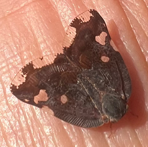
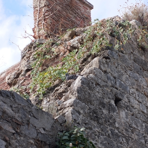
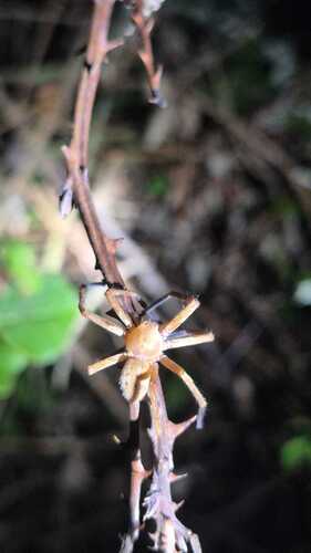
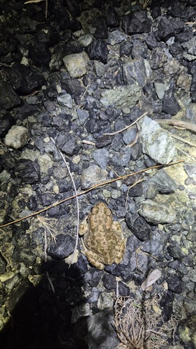
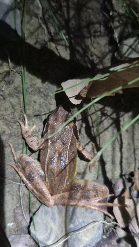
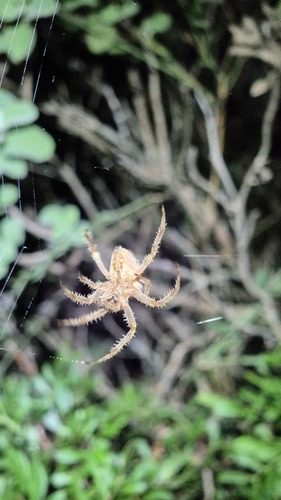
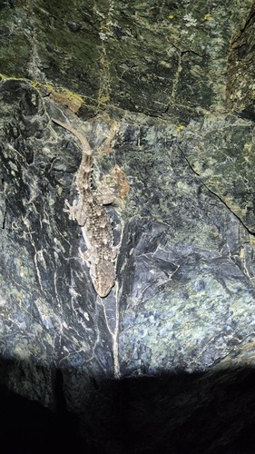
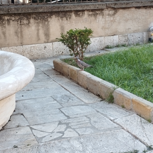
Research-grade observations from iNaturalist (within ~15 mi).
Events
Gallery
Sources
- • Wikipedia
- • Wikidata
- • iNaturalist
- • Open-Meteo / sunrise-sunset.org
- • Wikipedia Pageviews API