Browse / Italy / Umbria / Torgiano
Torgiano
Umbriavillage

Torgiano
Total population
2,850
Demographic figures from ISTAT. Overview below cites Wikipedia and may reference a different year.
City facts
Sister cities
Facts from Wikidata (CC0).
Overview
Torgiano is a comune (municipality) in the Province of Perugia in the Italian region Umbria, located about 10 km southeast of Perugia.
Read more on WikipediaHistory & geography
History
Archaeological evidence indicates that the area of Torgiano was inhabited during the Roman period, with remains of a villa and various inscriptions attesting to its settlement. According to local tradition, Torgiano was founded around 300 AD by Lucius Turcius Apronianus. In 596 it was destroyed by the Goths. In the early Middle Ages, the territory was occupied successively by the Goths and the Lombards. In the 13th century Torgiano was rebuilt and enlarged by the people of Perugia. The town walls were constructed in 1276, together with two gates and two towers, and in 1294 an additional tower in the form of a fortress was built by the Perugians. In 1410 a fierce battle took place there between the armies of Braccio da Montone and Sforza. In 1426 Torgiano issued its first statute, which expanded vicariate powers and introduced council oversight of local governance. In 1503 it was invaded by Cesare Borgia, after which it returned to the control of the Baglioni family of Perugia. After the Salt War in 1540, the town was brought under the authority of the Papal States. After the war, the river Tiber was canalized and joined to the Chiascio. During the period of the Roman Republic and Napoleonic rule from 1798 to 1814, Torgiano retained municipal status, forming part of the Department of Trasimeno. Following the Napoleonic era, papal administration was restored, and an apostolic subdelegate oversaw the municipality. In the mid-19th century Torgiano had a population of 2,669 inhabitants. Of these, 559 lived within the town and 2,110 in the surrounding countryside.
Geography
Torgiano lies on a hill almost surrounded by the rivers Tiber and Chiascio, which meet at a short distance from the town walls. In 2021, 917 people lived in rural dispersed dwellings not assigned to any named locality. At the time, the most populous localities were Torgiano proper (2,850), and Brufa (939). The settlement of Miralduolo stands at the foot of a high hill near the left bank of the Tiber, about north of Torgiano, southeast of Perugia, and west of Assisi. Rosciano, formerly a castle, survives as ruins within a dense wood about from Torgiano. The plain below, known as the Piano di Rosciano, is crossed by the Chiascio, which is spanned by a bridge, and near which stood three mills.
Excerpted from the corresponding Wikipedia article (CC BY-SA).
Geography
Coordinates & boundaries from the US Census TIGER/Line shapefiles.
Climate
Air quality
Walkability
Amenities nearby
Wildlife & biodiversity
Earthquake history
Photos
Sights & places nearby
Notable people from here
Nearby places in Umbria
- San Martino in Campo2.2 mi away · pop. 2,190
- Santa Maria Rossa2.2 mi away · pop. 658
- Bettona2.4 mi away · pop. 551
- San Nicolò di Celle3 mi away · pop. 1,153
- Deruta3.4 mi away · pop. 4,089
- Sant'Angelo di Celle3.7 mi away · pop. 975
- San Martino in Colle3.9 mi away · pop. 2,128
- Ponte San Giovanni4.3 mi away · pop. 11,562
- Collestrada4.4 mi away · pop. 1,826
- Sant'Enea4.4 mi away · pop. 1,003
- Casaglia5.4 mi away · pop. 795
- Ponte Valleceppi5.6 mi away · pop. 3,356
Geography & sun
Elevation, sunrise/sunset and daylight from Open-Meteo. Solar climatology from NASA POWER.
Nearby airports
Public attention
Pageview totals from the Wikimedia Pageviews API.
Books about Torgiano
Search results from Open Library.
Recent natural events nearby
Ground air-quality sensors
Recently spotted species
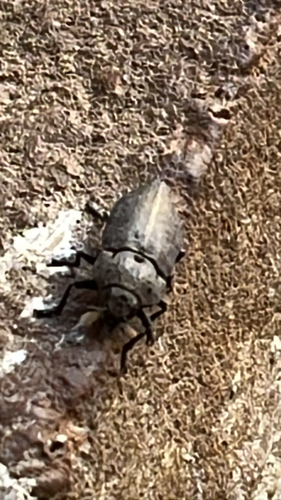
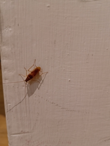
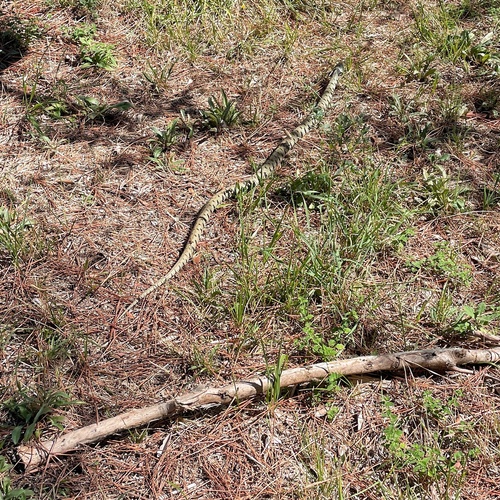
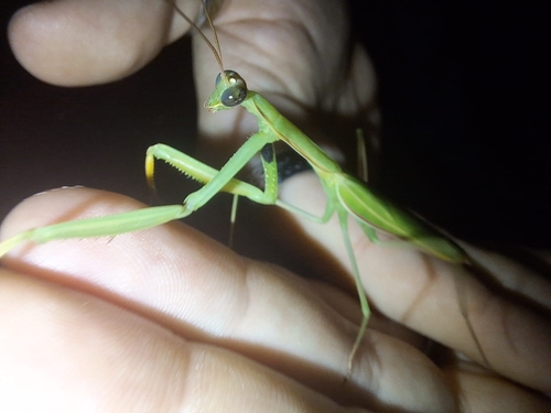
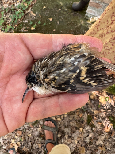
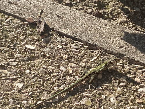
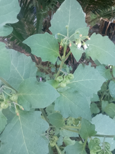
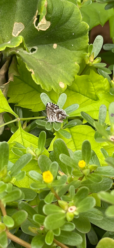
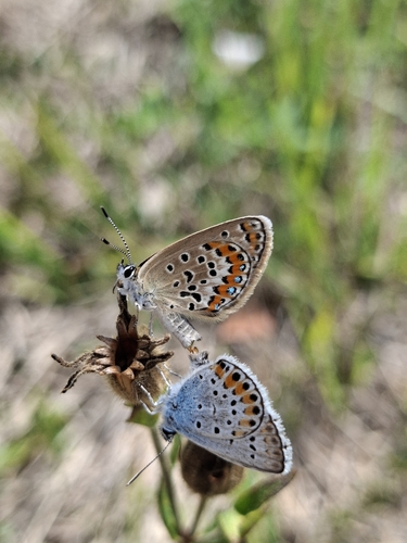
Research-grade observations from iNaturalist (within ~15 mi).
Events
Gallery
Official Identifiers
ISTAT — Italian National Institute of Statistics
- ISTAT code
- 054053
- Province
- Perugia (PG)
- Region
- Umbria
- NUTS3 (2024)
- ITI21
- Codice catastale
- L216
Elenco comuni italiani (CC BY 3.0 IT)
Sources
- • Wikipedia
- • Wikidata
- • iNaturalist
- • Open-Meteo / sunrise-sunset.org
- • Wikipedia Pageviews API
- • Open Library
- • ISTAT — Italian national statistics (Elenco comuni italiani), via istat.it (official ISTAT code, province, region, NUTS3, codice catastale)
- • ISTAT — Italian National Institute of Statistics — Elenco comuni italiani (CC BY 3.0 IT)