Browse / Italy / Tuscany / Villa Collemandina
Villa Collemandina
Tuscanyvillage
Total population
1,400
Demographic figures from ISTAT. Overview below cites Wikipedia and may reference a different year.
City facts
Overview
Villa Collemandina is a small village located in Tuscany, Italy. The population stands at approximately 1,400. On the world map it falls within the Eastern Hemisphere, specifically at 44.159°, 10.398°. Based on its temperate position, residents likely encounter four distinct seasons with warm summers and cold winters. Open solar datasets indicate about 1,429 kWh/m² of solar irradiance per year, combined with sunshine for roughly 56% of daylight hours. Administratively it falls within the Lucca province. The remainder of this page draws on open public data to describe the area's demographics, climate, environment and nearby amenities.
Summary composed automatically from structured open data on this page. See our Terms for details.
History & geography
Geography
Coordinates & boundaries from the US Census TIGER/Line shapefiles.
Climate
Air quality
Walkability
Amenities nearby
Wildlife & biodiversity
Most-observed species
- Round-mouthed SnailPomatias elegans (O.F.Müller, 1774) · Gastropoda241
- Common wall lizardPodarcis muralis (Laurenti, 1768) · Squamata182
- Garden SnailCornu aspersum (O.F.Müller, 1774) · Gastropoda182
- Eurasian BlackbirdTurdus merula Linnaeus, 1758 · Aves148
- BeechFagus sylvatica L. · Magnoliopsida138
- Common ChaffinchFringilla coelebs Linnaeus, 1758 · Aves137
- European RobinErithacus rubecula (Linnaeus, 1758) · Aves130
- Eurasian BlackcapSylvia atricapilla (Linnaeus, 1758) · Aves114
Citizen-science & research observations from the Global Biodiversity Information Facility (GBIF).
Earthquake history
Most recent
- M 4.1 — 2026-08-160 km NE of Casano-Dogana-Isola, Italy
- M 4.2 — 2026-03-266 km NNW of Montale, Italy
- M 4.1 — 2026-03-251 km S of Santo Stefano di Magra, Italy
- M 2.5 — 2025-03-042 km NNW of Carrara, Italy
- M 3 — 2024-05-221 km N of Collecchio, Italy
- M 4.1 — 2024-02-173 km SE of Basilicanova, Italy
Events from the USGS Earthquake Catalog (global) (FDSN Event Web Service).
Photos
Sights & places nearby
Notable people from here
Nearby places in Tuscany
- San Romano in Garfagnana2.6 mi away · pop. 1,432
- Casatico4 mi away
- Careggine4.5 mi away · pop. 642
- Vagli Sotto6.4 mi away · pop. 1,123
- Gorfigliano7.4 mi away
- Gramolazzo8 mi away
- Piastroso8.2 mi away
- Fornaci di Barga8.5 mi away
- Coreglia Antelminelli9.1 mi away · pop. 4,813
- Piano di Coreglia9.8 mi away
- Resceto10.4 mi away
- Ghivizzano10.5 mi away
Geography & sun
Elevation, sunrise/sunset and daylight from Open-Meteo. Solar climatology from NASA POWER.
Nearby airports
Public attention
Books about this place
Recent natural events nearby
Ground air-quality sensors
Recently spotted species
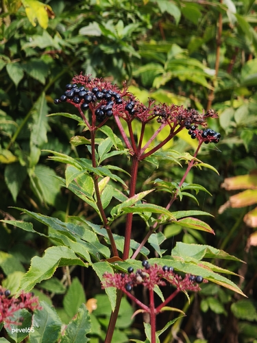
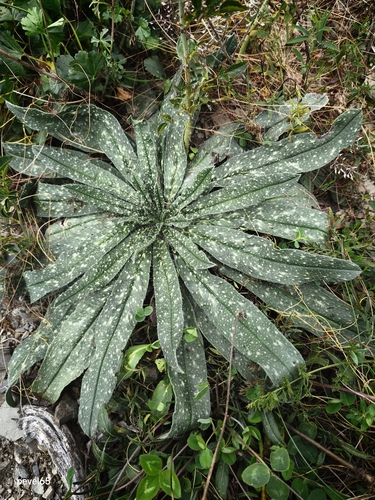
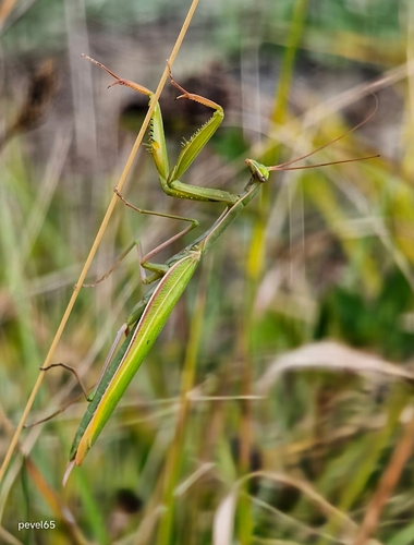

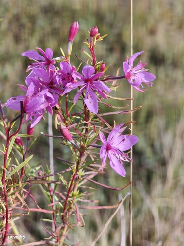
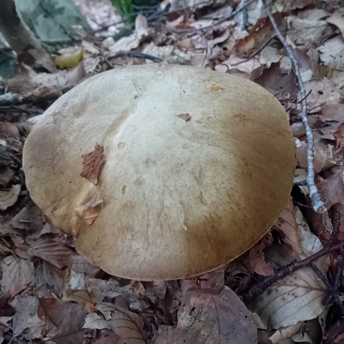
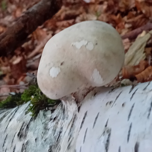
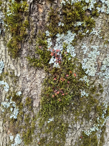
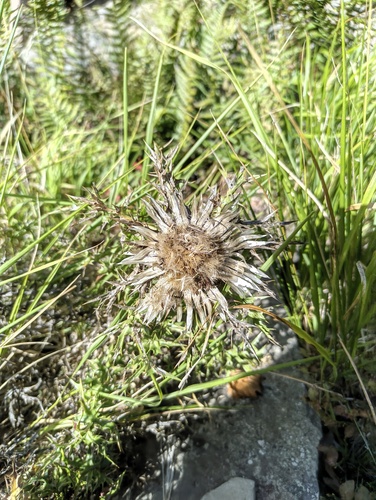
Research-grade observations from iNaturalist (within ~15 mi).
Events
Gallery
Official Identifiers
ISTAT — Italian National Institute of Statistics
- ISTAT code
- 046035
- Province
- Lucca (LU)
- Region
- Toscana
- NUTS3 (2024)
- ITI12
- Codice catastale
- L926
Elenco comuni italiani (CC BY 3.0 IT)
Sources
- • USGS Earthquake Catalog (global feed)
- • GBIF (Global Biodiversity Information Facility)
- • iNaturalist
- • Open-Meteo / sunrise-sunset.org
- • ISTAT — Italian national statistics (Elenco comuni italiani), via istat.it (official ISTAT code, province, region, NUTS3, codice catastale)
- • ISTAT — Italian National Institute of Statistics — Elenco comuni italiani (CC BY 3.0 IT)