Browse / Jamaica / Saint Elizabeth / Black River
Black River
Saint Elizabethvillage

Black River
Total population
4

Air quality index
Demographic figures from Statistical Institute of Jamaica. Overview below cites Wikipedia and may reference a different year.
City facts
Overview
Black River is a coastal town in southwestern Jamaica. It is the parish capital of St Elizabeth and developed as a port around the mouth of the river of the same name. Today, the town is a centre of environmental tourism and a gateway to the Treasure Beach resort area. Treasure Beach and Crane Beach are to the south-east, with Luana Beach to the west.
Read more on WikipediaHistory & geography
History
Black River is one of the oldest European towns in the island of Jamaica, being shown on John Sellers' 1685 map. Writing in the 1770s, Edward Long described Black River as a "village" and the "chief barquadier for all the plantations and settlements in the parish". The harbour was defended by two fortresses: a publicly-maintained battery of five guns and a private property belonging to a Mr Crutcher. A quarter mile from Black River there was a barracks capable of holding 30 soldiers as well as a church. In 1790, William Beckford described Black River as having 50 houses, "and a fine bay for shipping." It was designed by the Leyden brothers of England, three wealthy men who were substantial land proprietors in the area. Zong finally landed at Black River. Its owners later sued for insurance claims for the slaves who had been killed, and the case was litigated in 1783 in London. The court rejected the owners' claim, as it was shown that the crew had made navigation errors that kept the ship at sea and threatened its supplies. Abolitionists publicized it, and the case became a catalyst for the burgeoning British abolitionist movement. As a major sea port, Black River became a commercial center on the south coast of Jamaica. Due to its wealth, in 1893 this was the first town in Jamaica to be lit by electricity. Ten years later, in 1903, it was the first town on the island to have automobiles. A telephone system was installed 10 years after the instrument was invented. On 28 October 2025, Black River was directly hit by Category 5 Hurricane Melissa. The hurricane destroyed the majority of structures in the town including the hospital, Waterloo Guest House, courthouse, library, police station, and the 300-year old St John's Anglican church.
Excerpted from the corresponding Wikipedia article (CC BY-SA).
Geography
Coordinates & boundaries from the US Census TIGER/Line shapefiles.
Climate
10-year averages from ERA5 reanalysis (Open-Meteo).
Air quality
Current readings from Open-Meteo Air Quality API (Copernicus CAMS European reanalysis).
Walkability
Amenities nearby
Wildlife & biodiversity
Most-observed species
- Turkey VultureCathartes aura (Linnaeus, 1758) · Aves396
- Loggerhead KingbirdTyrannus caudifasciatus Orbigny, 1839 · Aves385
- Northern MockingbirdMimus polyglottos (Linnaeus, 1758) · Aves372
- Magnificent FrigatebirdFregata magnificens Mathews, 1914 · Aves367
- BananaquitCoereba flaveola (Linnaeus, 1758) · Aves355
- American RedstartSetophaga ruticilla (Linnaeus, 1758) · Aves350
- Cattle EgretBubulcus ibis (Linnaeus, 1758) · Aves349
- Brown PelicanPelecanus occidentalis Linnaeus, 1766 · Aves349
Citizen-science & research observations from the Global Biodiversity Information Facility (GBIF).
Earthquake history
Most recent
- M 4 — 2024-06-182 km S of Maggotty, Jamaica
- M 4.5 — 2020-08-26Jamaica region
- M 2.9 — 2020-07-137 km SSE of Falmouth, Jamaica
- M 3.1 — 2019-08-223 km SE of Gayle, Jamaica
- M 3.7 — 2016-03-281 km W of Kellits, Jamaica
- M 4.1 — 2013-12-216 km W of Savanna-la-Mar, Jamaica
Events from the USGS Earthquake Catalog (global) (FDSN Event Web Service).
Photos

St. John's Anglican Church - panoramio

2025 Hurricane Melissa-20251031a RGB-raw-176045 1031251531115 006 RGB1

2025 Hurricane Melissa-20251031a RGB-raw-176044 1031251531049 006 RGB1

2025 Hurricane Melissa-20251031a RGB-raw-176046 1031251531179 006 RGB1

2025 Hurricane Melissa-20251031a RGB-raw-176043 1031251530586 006 RGB1

2025 Hurricane Melissa-20251031a RGB-raw-176047 1031251531241 006 RGB1

2025 Hurricane Melissa-20251031a RGB-raw-176137 1031251543076 007 RGB1

2025 Hurricane Melissa-20251031a RGB-raw-176136 1031251543013 007 RGB1

2025 Hurricane Melissa-20251031a RGB-raw-176135 1031251542549 007 RGB1

2025 Hurricane Melissa-20251031a RGB-raw-176134 1031251542486 007 RGB1

2025 Hurricane Melissa-20251031a RGB-raw-176138 1031251543139 007 RGB1

2025 Hurricane Melissa-20251031a RGB-raw-176043 1031251530586 006 RGB2
Geo-tagged photos from Wikimedia Commons (CC-licensed; click any photo for license details).
Sights & places nearby
Notable people from here


People born within ~10 km, from Wikidata (CC0). Click any name for their Wikipedia article.
Nearby places in Saint Elizabeth
Geography & sun
Elevation, sunrise/sunset and daylight from Open-Meteo. Solar climatology from NASA POWER.
Nearby airports
Public attention
Pageview totals from the Wikimedia Pageviews API.
Books about Black River




Search results from Open Library.
Recent natural events nearby
Ground air-quality sensors
Recently spotted species
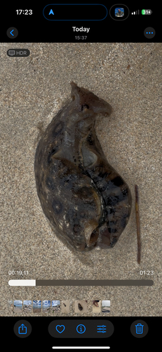
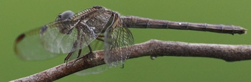
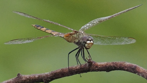
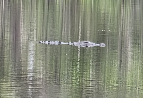
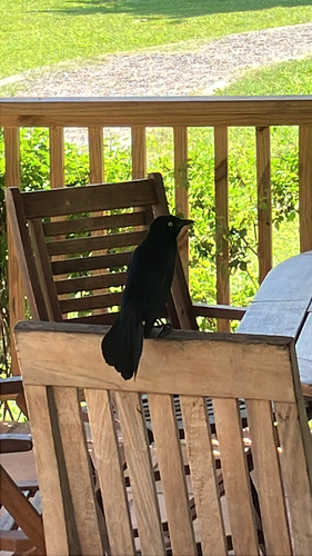
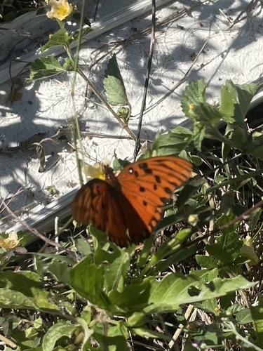
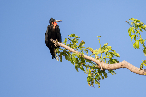
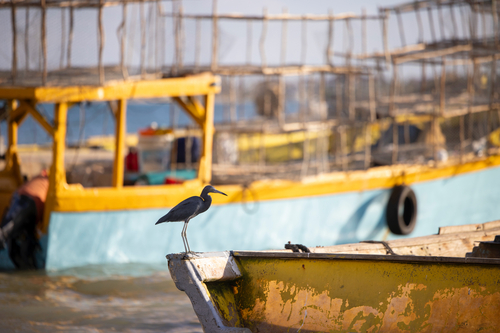
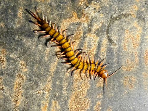
Research-grade observations from iNaturalist (within ~15 mi).
Events
Gallery
Geotagged photos within ~6 miles of Black River, from Wikimedia Commons contributors.
0.1 mi0.2 mi 0.2 mi0.4 mi0.4 mi
 0.4 mi
 0.4 mi0.6 mi0.6 mi
 0.6 mi
 0.6 mi0.7 mi0.7 mi0.7 mi0.7 mi
 0.7 mi
 0.7 mi0.8 mi
 0.8 mi0.9 mi
 0.9 mi
 1 mi
1 mi 1 mi
1 mi 1 mi
1 miPhotos via Wikimedia Commons — see each image page for license & attribution.
Sources
- • Wikipedia
- • Open-Meteo (ERA5 reanalysis)
- • Wikimedia Commons
- • Wikidata
- • Open-Meteo Air Quality (CAMS)
- • USGS Earthquake Catalog (global feed)
- • GBIF (Global Biodiversity Information Facility)
- • iNaturalist
- • Open-Elevation
- • Open-Meteo / sunrise-sunset.org
- • Wikipedia Pageviews API
- • Open Library
- • Wikidata SPARQL (CC0) — population, area, elevation, inception, head of government, Commons image