Browse / Jordan / Jordan / Rabba
Rabba
Jordantown
Demographic figures from Department of Statistics (Jordan). Overview below cites Wikipedia and may reference a different year.
City facts
Overview
Rabba is a town in Jordan in the Karak Governorate. As ancient Areopolis, it is a former bishopric and present Latin Catholic titular see.
Read more on WikipediaHistory & geography
History
Rabba was formerly known as Rabbath Moab. In the Hellenistic and Roman times it was called Areopolis, its Greek name. It was one of the two leading cities of the Karak Plateau at this time. Eusebius, who cited the terrifying nature of the place, Hierocles and Stephen of Byzantium, Sozomen and also the Notitia Dignitatum The town is shown on the Tabula Peutingeriana and the Madaba map and is attested to on numerous milestones. Areopolis also minted its own coin between 193 and 222 CE. In 1321 Abu'l-Fida noted: "Maab, or Ar Rabba lies in the Balka Province. According to the 10th-century Arab geographer al-Muhallabi, this place and Adhruh are two towns in the Jabal Ash Sharah. Maab was a very ancient town the relics of which have completely disappeared, and in its place is a village called Ar Rabbah. It is in the district of Al Karak, and lies about half a day's march from this to the north. Near Ar Rabbah is an extremely high hill, called Shaihan, which you see from afar." In 1596 it appeared in the Ottoman tax registers named as Kafr Rabba, situated in the nahiya (subdistrict) of Karak, part of the Sanjak of Ajlun. It had 16 Muslim and 3 Christian households. They paid a fixed tax-rate of 25% on agricultural products, including wheat, barley, summer crops, vineyards/fruit trees, goats and bee-hives; in addition to occasional revenues. The total tax was 12,000 akçe. In 1961 there were 1,073 inhabitants in Rabba, of whom 200 were Christian.
Geography
Rabba lies on the historical King's Highway. It is situated on a thin semi-fertile plain, giving way to Wadi Ibn Hammad in the west, and the desert in the east. Located near the northern edge of the town is the Farming College, a branch of Mu'tah University.
Excerpted from the corresponding Wikipedia article (CC BY-SA).
Geography
Coordinates & boundaries from the US Census TIGER/Line shapefiles.
Climate
Air quality
Walkability
Amenities nearby
Wildlife & biodiversity
Earthquake history
Photos
Sights & places nearby
Notable people from here
Nearby places in Jordan
- Arkvaz650.3 mi away · pop. 11,977
- Shinabad656.4 mi away
- Eslamabad-e Gharb657 mi away · pop. 97,000
- Vara666.1 mi away
- Saqqez695.2 mi away · pop. 140,000
- Tazeh Shahr696.6 mi away · pop. 8,629
- Kuhdasht709.5 mi away · pop. 89,091
- Pol Dokhtar711.6 mi away · pop. 26,352
- Bisotun712.7 mi away · pop. 4,942
- Bostan721.9 mi away · pop. 8,476
- Hoveyzeh727.6 mi away · pop. 19,481
- Khamaneh737 mi away · pop. 3,056
Geography & sun
Elevation, sunrise/sunset and daylight from Open-Meteo. Solar climatology from NASA POWER.
Nearby airports
Public attention
Pageview totals from the Wikimedia Pageviews API.
Books about Rabba
Search results from Open Library.
Recent natural events nearby
Ground air-quality sensors
Recently spotted species
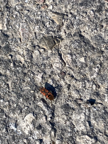
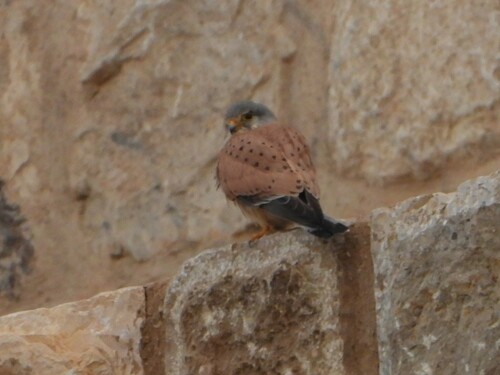
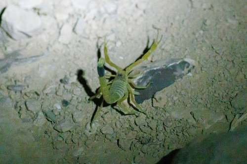
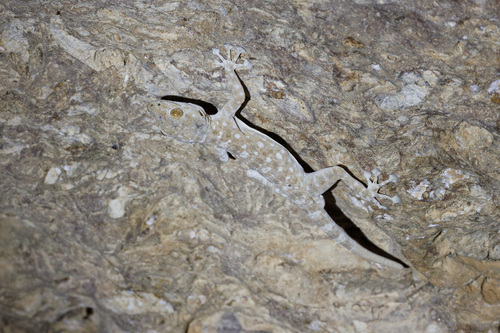
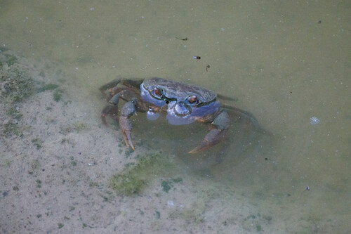
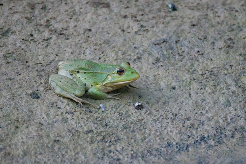
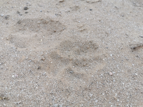
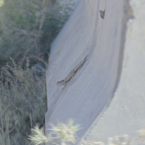
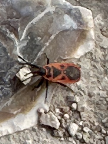
Research-grade observations from iNaturalist (within ~15 mi).
Events
Gallery
Sources
- • Wikipedia
- • iNaturalist
- • Open-Meteo / sunrise-sunset.org
- • Wikipedia Pageviews API
- • Open Library