Browse / Japan / Hokkaido / Chitose
Chitose
Hokkaidocity

Chitose
Total population
97,950
Founded
1958
Air quality index
Demographic figures from Statistics Bureau of Japan. Overview below cites Wikipedia and may reference a different year.
City facts
Facts from Wikidata (CC0).
Overview
Chitose is a city located in Ishikari Subprefecture, Hokkaido, Japan, and home to the New Chitose Airport, the biggest international airport in Hokkaido and closest airport to Sapporo, as well as the neighboring Chitose Air Base. As of February 1, 2024, the city had an estimated population of 97,919, with 52,196 households, and a population density of 165 persons per km2. The total area is 594.50 km2. The city was founded on July 1, 1958. The city is notable for having a Peace Pagoda, built by the Japanese Buddhist order Nipponzan Myohoji in 1978.
Read more on WikipediaHistory & geography
History
* 1880: The village of Chitose (consisting of a merger of the localities of Chitose, Osatsu, Usakumai, Rankoshi, Izari, Shimamatsu) is established. * 1897: The village of Eniwa (consisting of the localities of Izari and Shimamatsu) (now a city) splits off. * 1915: Chitose (consisting of the localities of Chitose, Osatsu, Usakumai, Rankoshi) becomes a Second Class Municipality. * 1939: Chitose becomes a First Class Municipality. * 1942: Chitose promoted to town status. * Post WWII - Chitose hosts a US Air Force base. * July 1, 1958: Chitose promotes to city status.
Geography
Chitose is one of the gateways to the Shikotsu-Toya National Park, Lake Shikotsu and Mount Tarumae. The city is bounded by Eniwa in the north and by Tomakomai in the south. In the Ainu language, Chitose was originally called shikot, meaning big depression or hollow, like Lake Shikotsu which is a caldera lake. In Japanese, this sounded too much like , so it was changed to Chitose. Chitose experiences a humid continental climate with cold winters and warm summers. The hottest and coldest temperatures, respectively, ever recorded are and .
Excerpted from the corresponding Wikipedia article (CC BY-SA).
Geography
Coordinates & boundaries from the US Census TIGER/Line shapefiles.
Climate
Air quality
Current readings from Open-Meteo Air Quality API (Copernicus CAMS European reanalysis).
Walkability
Amenities nearby
Wildlife & biodiversity
Most-observed species
- Cinereous TitParus cinereus Vieillot, 1818 · Aves302
- Marsh TitPoecile palustris (Linnaeus, 1758) · Aves282
- Brown-eared BulbulHypsipetes amaurotis (Temminck, 1830) · Aves254
- Black KiteMilvus migrans (Boddaert, 1783) · Aves242
- Whooper SwanCygnus cygnus (Linnaeus, 1758) · Aves239
- MallardAnas platyrhynchos Linnaeus, 1758 · Aves227
- Large-billed CrowCorvus macrorhynchos Wagler, 1827 · Aves218
- Eurasian NuthatchSitta europaea Linnaeus, 1758 · Aves209
Citizen-science & research observations from the Global Biodiversity Information Facility (GBIF).
Earthquake history
Most recent
- M 4.4 — 2026-05-0428 km SE of Shimukappu, Japan
- M 4.2 — 2026-01-117 km SW of Abira, Japan
- M 4.4 — 2025-11-017 km NNW of Tomakomai, Japan
- M 4.3 — 2025-10-1217 km NW of Shiraoi, Japan
- M 4.3 — 2025-10-0522 km ESE of Tomakomai, Japan
- M 4.3 — 2025-08-1430 km ENE of Biratori, Japan
Events from the USGS Earthquake Catalog (global) (FDSN Event Web Service).
Photos
Sights & places nearby
Notable people from here


People born within ~10 km, from Wikidata (CC0). Click any name for their Wikipedia article.
Geography & sun
Nearby airports
Public attention
Books about this place
Recent natural events nearby
Ground air-quality sensors
Recently spotted species
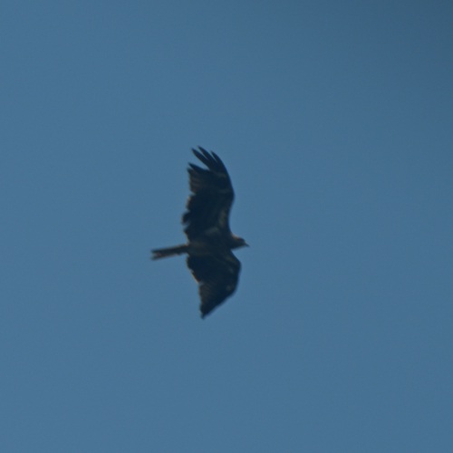
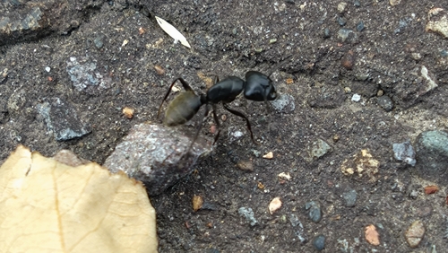
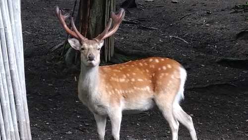
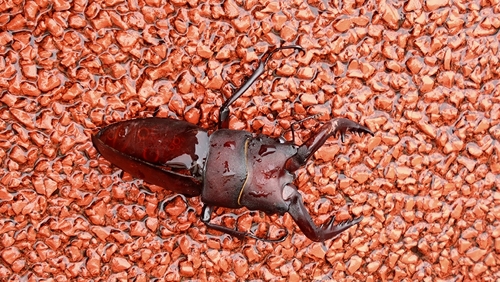
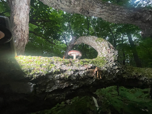
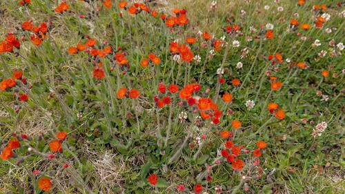
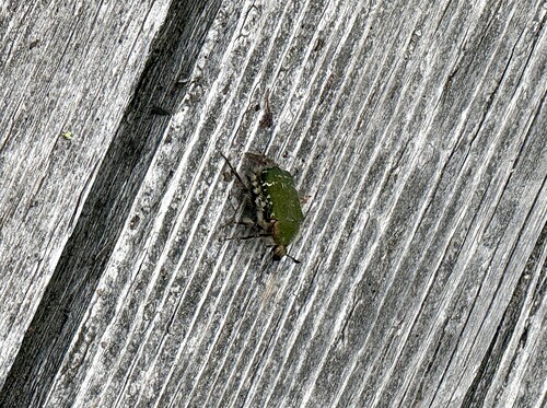
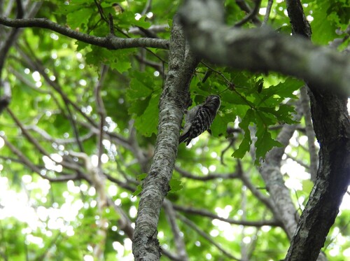
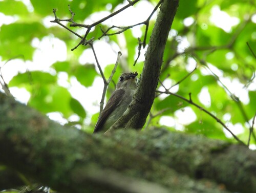
Research-grade observations from iNaturalist (within ~15 mi).
Events
Gallery
Official Identifiers
e-Stat — Statistics Bureau of Japan
- JIS code
- 012246
- Population (Wikidata)
- 97,945
- Wikidata
- Q693237
JIS X 0402 dantai codes via Wikidata P429
Sources
- • Wikipedia
- • Wikidata
- • Open-Meteo Air Quality (CAMS)
- • USGS Earthquake Catalog (global feed)
- • GBIF (Global Biodiversity Information Facility)
- • iNaturalist
- • e-Stat / Statistics Bureau of Japan — JIS X 0402 dantai code via Wikidata P429 (prefecture, municipality)
- • e-Stat — Statistics Bureau of Japan — JIS X 0402 dantai codes via Wikidata P429