Browse / Japan / Kanagawa / Hiratsuka
Hiratsuka
Kanagawacity

Hiratsuka
Total population
258,422
Founded
1932
Air quality index
Demographic figures from Statistics Bureau of Japan. Overview below cites Wikipedia and may reference a different year.
City facts
Facts from Wikidata (CC0).
Overview
Hiratsuka is a city in Kanagawa Prefecture, Japan. As of 1 April 2021, the city had an estimated population of 257,316 and a population density of 3800 persons per km². The total area of the city is 67.88 square kilometres (26.21 sq mi).
Read more on WikipediaHistory & geography
History
The area around Hiratsuka has been settled since prehistoric times, and mention of the area as part of ancient Ōsumi District, Sagami Province is found in Nara period records. From the Heian period through Kamakura period, the area was divided into shōen controlled by various samurai clans and in the Sengoku period was the site of several battles between the later Hōjō clan of Odawara and the Miura clan. After the defeat of the Odawara at the Battle of Odawara by Hideyoshi Toyotomi, the area came under the control of Ieyasu Tokugawa, who built a summer palace (the Nakahara Goten) in 1596 at the site now occupied by the Hiratsuka City Nakahara Elementary/Primary School. Hiratsuka was retained as tenryō territory after the establishment of the Tokugawa shogunate, and flourished as Hiratsuka-juku, a post town on the Tōkaidō connecting Edo with Kyoto. As the 7th station, it is often depicted in the series of ukiyo-e about the 53 Stations of the Tōkaidō made among others by artists such Hokusai and Hiroshige. After the Meiji Restoration, Hiratsuka town was founded on April 1, 1889 with the creation of the municipalities system, as part of the new Naka District within Kanagawa Prefecture. It merged with neighboring Suma Town on April 1, 1929, and was proclaimed Hiratsuka City on April 1, 1932. Prior to World War II, Hiratsuka was the location of the of the Imperial Japanese Navy and , a Nissan group military aircraft factory. Hiratsuka was largely destroyed on July 16, 1945, during the Bombing of Hiratsuka in World War II. Due to its strategic location and wide beaches, it was also one of the targets for the planned invasion of Japan during the final stages of World War II. The city quickly rebuilt after the war, annexing several neighboring villages in the mid-1950s to…
Geography
Hiratsuka is located in the Shōnan area on the right bank (west side) of the Sagami River, almost in the center of Kanagawa Prefecture, and faces Sagami Bay to the south. The area from the Sagami River to the Kaname River is a plain to the northern end of the city area, and the urban area extends to the south. The west side of the Kaname River is a hilly area that is part of the Oiso Hills, and there is a lot of greenery. It is approximately midway between Tokyo and Mount Fuji. Kanagawa Prefecture *Atsugi *Chigasaki *Hadano *Isehara *Nakai *Ninomiya *Oiso *Samukawa Hiratsuka has a humid subtropical climate (Köppen Cfa) characterized by warm summers and cool winters with light to no snowfall. The average annual temperature in Hiratsuka is 14.6 °C. The average annual rainfall is 2144 mm with September as the wettest month. The temperatures are highest on average in August, at around 25.2 °C, and lowest in January, at around 4.4 °C.
Excerpted from the corresponding Wikipedia article (CC BY-SA).
Geography
Coordinates & boundaries from the US Census TIGER/Line shapefiles.
Climate
Air quality
Current readings from Open-Meteo Air Quality API (Copernicus CAMS European reanalysis).
Walkability
Amenities nearby
Wildlife & biodiversity
Most-observed species
- Brown-eared BulbulHypsipetes amaurotis (Temminck, 1830) · Aves6,250
- Eurasian Tree SparrowPasser montanus (Linnaeus, 1758) · Aves5,660
- White WagtailMotacilla alba Linnaeus, 1758 · Aves5,622
- Carrion CrowCorvus corone Linnaeus, 1758 · Aves5,329
- Large-billed CrowCorvus macrorhynchos Wagler, 1827 · Aves5,244
- White-cheeked StarlingSpodiopsar cineraceus (Temminck, 1835) · Aves4,742
- Oriental Turtle-DoveStreptopelia orientalis (Latham, 1790) · Aves4,715
- Cinereous TitParus cinereus Vieillot, 1818 · Aves4,609
Citizen-science & research observations from the Global Biodiversity Information Facility (GBIF).
Earthquake history
Most recent
- M 5.7 — 2026-06-267 km N of Oshino, Japan
- M 5.5 — 2026-06-164 km NW of Noda, Japan
- M 4.2 — 2026-05-293 km ESE of Mobara, Japan
- M 4 — 2026-05-243 km W of Fussa, Japan
- M 4.4 — 2026-05-064 km NW of Hachiōji, Japan
- M 4.5 — 2026-04-234 km NE of Yotsukaidō, Japan
Events from the USGS Earthquake Catalog (global) (FDSN Event Web Service).
Photos
Sights & places nearby
Notable people from here


People born within ~10 km, from Wikidata (CC0). Click any name for their Wikipedia article.
Geography & sun
Elevation, sunrise/sunset and daylight from Open-Meteo. Solar climatology from NASA POWER.
Nearby airports
Public attention
Pageview totals from the Wikimedia Pageviews API.
Books about Hiratsuka
Search results from Open Library.
Recent natural events nearby
- Typhoon MekkhalaSevere Storms · 2026-06-27 · 116 mi
- Tropical Storm HigosSevere Storms · 2026-06-27 · 212 mi
Wildfires, storms and other events from NASA EONET (last 12 months, within 250 mi).
Ground air-quality sensors
Recently spotted species
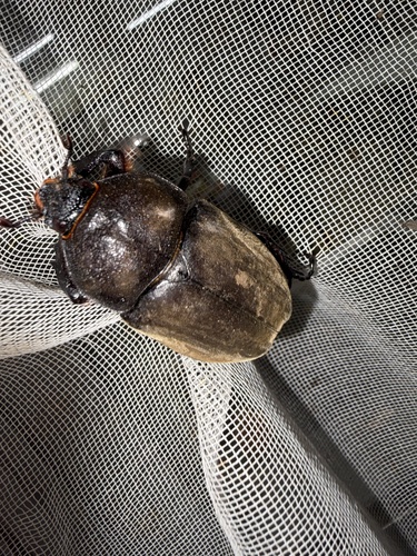
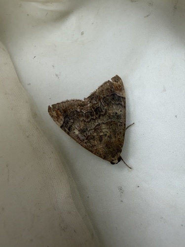
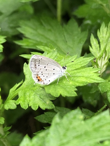
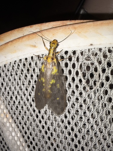
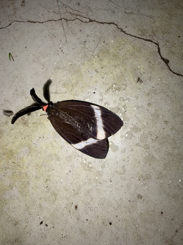
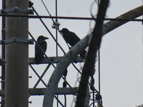
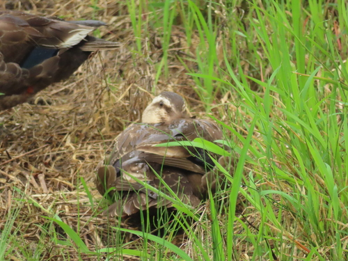
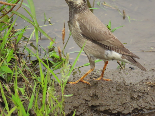
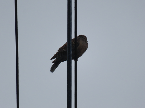
Research-grade observations from iNaturalist (within ~15 mi).
Events
Gallery
Geotagged photos within ~6 miles of Hiratsuka, from Wikimedia Commons contributors.
 0 mi
0 mi 0 mi
0 mi 0.1 mi
 0.1 mi
 0.1 mi
 0.1 mi
 0.1 mi
 0.1 mi
 0.1 mi
 0.1 mi
 0.1 mi
 0.1 mi
 0.1 mi
 0.1 mi
 0.1 mi
 0.1 mi
 0.1 mi
 0.1 mi
 0.1 mi
 0.1 mi
 0.1 mi
 0.1 mi
 0.1 mi
 0.1 mi
Photos via Wikimedia Commons — see each image page for license & attribution.
Official Identifiers
e-Stat — Statistics Bureau of Japan
- JIS code
- 142034
- Population (Wikidata)
- 257,662
- Wikidata
- Q502199
JIS X 0402 dantai codes via Wikidata P429
Sources
- • Wikipedia
- • Wikimedia Commons
- • Wikidata
- • Open-Meteo Air Quality (CAMS)
- • USGS Earthquake Catalog (global feed)
- • GBIF (Global Biodiversity Information Facility)
- • iNaturalist
- • Open-Elevation
- • Open-Meteo / sunrise-sunset.org
- • Wikipedia Pageviews API
- • Open Library
- • NASA EONET
- • e-Stat / Statistics Bureau of Japan — JIS X 0402 dantai code via Wikidata P429 (prefecture, municipality)
- • e-Stat — Statistics Bureau of Japan — JIS X 0402 dantai codes via Wikidata P429