Browse / Japan / Osaka / Kishiwada
Kishiwada
Osakacity

Kishiwada
Total population
192,637
Founded
1942
Demographic figures from Statistics Bureau of Japan. Overview below cites Wikipedia and may reference a different year.
City facts
Facts from Wikidata (CC0).
Overview
Kishiwada is a city located in Osaka Prefecture, Japan. As of 24 September 2025, the city had an estimated population of 205,561 in roughly 90,822 households and a population density of 2,800 persons per km2. The total area of the city is 72.72 square kilometres (28.08 sq mi). The city is well known for its Danjiri Matsuri.
Read more on WikipediaHistory & geography
History
The area of the modern city of Kishiwada was within ancient Izumi Province. The city has been settled since ancient times, and has numerous kofun burial mounds including the Mayuyama Kofun. During the Nanboku-chō period, Kusunoki Masahige assigned his general Wada Haruji to govern an area called "Kishi" in Izumi Province in 1337. The Kishiwada "shōen", or landed estate, appears in documents from around 1400. The settlement developed into a castle town during the Sengoku period, as it occupied a very strategic location, approximately half way in-between the cities of Osaka and Wakayama and just south of the port of Sakai. It is located on the Kishu Kaido, the main route connecting the capital area of Japan with Kii Province, and its coastal location was important for transportation from the eastern Shikoku to Settsu Province and Kyoto. Kishiwada Castle, was rebuilt by Koide Hidemasa at its present site in 1597. Under the Tokugawa shogunate it was the center of Kishiwada Domain, which was ruled by the Okabe clan from 1640 to the Meiji Restoration. In 1703, the city began its Danjiri festival. The town of Kishiwada was official founded on within Hine District with the creation of the modern municipalities system on April 1, 1889. On April 1, 1896, the area became part of Sennan District, Osaka. It was promoted to city status on November 1, 1922 as the 87th city to be founded in Japan and the 3rd in Osaka. On April 1, 2002, Kishiwada became a Special city with increased local autonomy.
Geography
Kishiwada is located southwestern part of Osaka Prefecture, and forms a long and narrow area (7.6 km east–west, 17.3 km north–south) from Osaka Bay to the Izumi Mountains. Osaka Prefecture *Izumi *Kaizuka *Tadaoka Wakayama Prefecture *Katsuragi *Kinokawa
Excerpted from the corresponding Wikipedia article (CC BY-SA).
Geography
Coordinates & boundaries from the US Census TIGER/Line shapefiles.
Climate
Air quality
Walkability
Amenities nearby
Wildlife & biodiversity
Earthquake history
Photos
Sights & places nearby
Notable people from here
Geography & sun
Elevation, sunrise/sunset and daylight from Open-Meteo. Solar climatology from NASA POWER.
Nearby airports
Public attention
Pageview totals from the Wikimedia Pageviews API.
Books about Kishiwada
Search results from Open Library.
Recent natural events nearby
Ground air-quality sensors
Recently spotted species
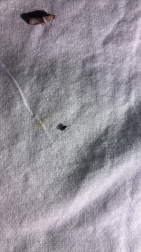
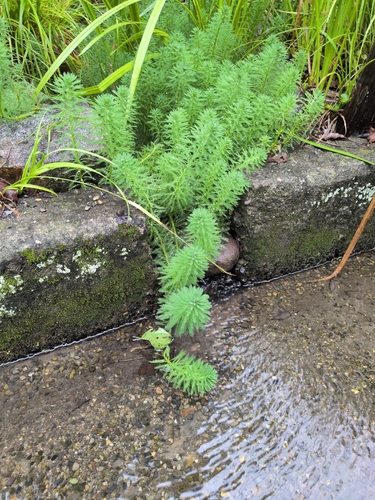

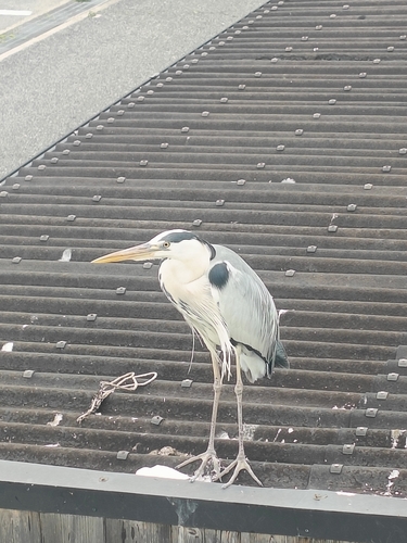
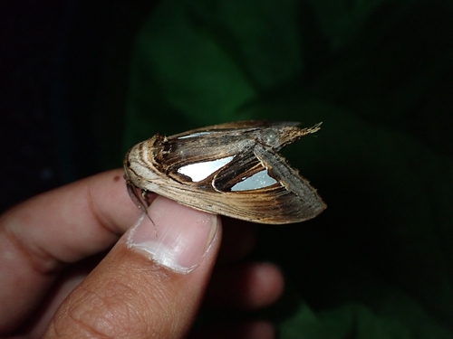
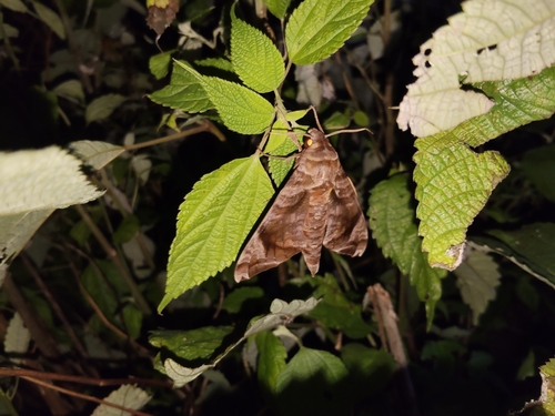
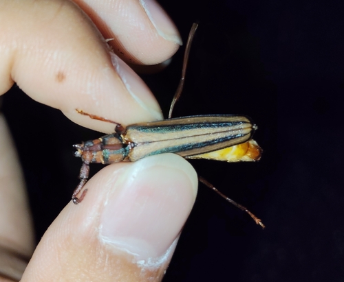
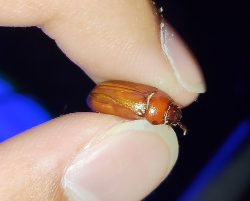

Research-grade observations from iNaturalist (within ~15 mi).
Events
Gallery
Official Identifiers
e-Stat — Statistics Bureau of Japan
- JIS code
- 272027
- Population (Wikidata)
- 188,015
- Wikidata
- Q740456
JIS X 0402 dantai codes via Wikidata P429
Sources
- • Wikipedia
- • Wikidata
- • iNaturalist
- • Open-Meteo / sunrise-sunset.org
- • Wikipedia Pageviews API
- • Open Library
- • e-Stat / Statistics Bureau of Japan — JIS X 0402 dantai code via Wikidata P429 (prefecture, municipality)
- • e-Stat — Statistics Bureau of Japan — JIS X 0402 dantai codes via Wikidata P429