Browse / Japan / Shimane / Misato
Misato
Shimanetown

Misato
Total population
4,900
Founded
2004
Demographic figures from Statistics Bureau of Japan. Overview below cites Wikipedia and may reference a different year.
City facts
Facts from Wikidata (CC0).
Overview
Misato is a town located in Ōchi District, Shimane Prefecture, Japan. As of 31 July 2023, the town had an estimated population of 4,355 in 1844 households and a population density of 15 persons per km2. The total area of the town is 282.92 square kilometres (109.24 sq mi).
Read more on WikipediaHistory & geography
History
The area of Misato was part of ancient Iwami Province. During the Edo Period, the area was tenryō or direct territory of the Tokugawa shogunate, administered together with the Iwami Ginzan Silver Mine. Kasubuchi, the center of Misato Town, is located at the point where the Enokawa River, which flows northward in the Chugoku Mountains, bends and flows westward, and has prospered as a key point for boat transport on the Enogawa River. After the Meiji restoration, villages were established within Ōchi District, Shimane on April 1, 1889, with the creation of the modern municipalities system. The town of Misato was formed on October 1, 2004, from the merger of the village of Daiwa and the town of Ōchi.
Geography
Misato is located in central Shimane, in the Chugoku Mountains bordered by Hiroshima Prefecture to the south. The Enokawa River runs through the town. Misato has a humid subtropical climate (Köppen Cfa) characterized by warm summers and cool winters with light to no snowfall. The average annual temperature in Misato is 13.4 °C. The average annual rainfall is 1711 mm with September as the wettest month. The temperatures are highest on average in August, at around 25.0 °C, and lowest in January, at around 2.4 °C.
Excerpted from the corresponding Wikipedia article (CC BY-SA).
Geography
Coordinates & boundaries from the US Census TIGER/Line shapefiles.
Climate
Air quality
Walkability
Amenities nearby
Wildlife & biodiversity
Most-observed species
- Japanese TreefrogDryophytes japonicus (Günther, 1859) · Amphibia3
- Japanese Four-lined RatsnakeElaphe quadrivirgata (Boie, 1826) · Squamata3
- Gray WagtailMotacilla cinerea Tunstall, 1771 · Aves3
- Greater Japanese Horseshoe BatRhinolophus nippon Temminck, 1835 · Mammalia3
- Barn SwallowHirundo rustica Linnaeus, 1758 · Aves3
- East Asian Rhinoceros BeetleTrypoxylus dichotomus (Linnaeus, 1771) · Insecta2
- Oak Longicorn BeetleMoechotypa diphysis (Pascoe, 1871) · Insecta2
- Japanese Carpenter BeeXylocopa appendiculata Smith, 1852 · Insecta2
Citizen-science & research observations from the Global Biodiversity Information Facility (GBIF).
Earthquake history
Most recent
- M 5 — 2026-01-0617 km S of Matsue, Japan
- M 4.8 — 2026-01-064 km S of Yasugichō, Japan
- M 5.7 — 2026-01-0613 km WSW of Yasugichō, Japan
- M 4.4 — 2025-06-2910 km S of Yasugichō, Japan
- M 4.5 — 2021-08-1714 km NNE of Sh?bara, Japan
- M 4.4 — 2021-08-0221 km N of Sh?bara, Japan
Events from the USGS Earthquake Catalog (global) (FDSN Event Web Service).
Photos
Sights & places nearby
Notable people from here
People born within ~10 km, from Wikidata (CC0). Click any name for their Wikipedia article.
Geography & sun
Nearby airports
Public attention
Books about this place
Recent natural events nearby
Ground air-quality sensors
Recently spotted species
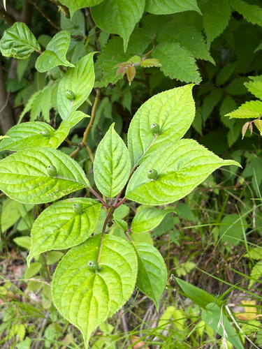
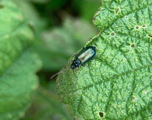
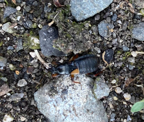
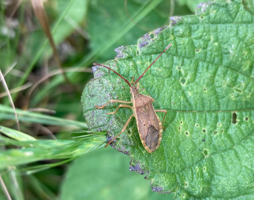
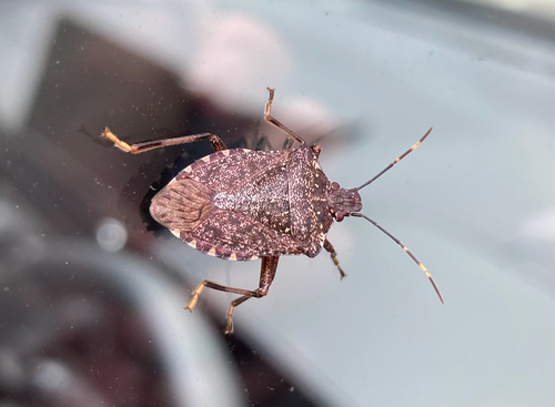
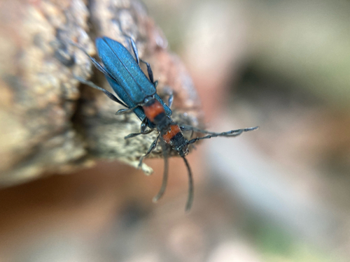
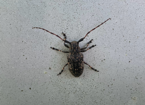
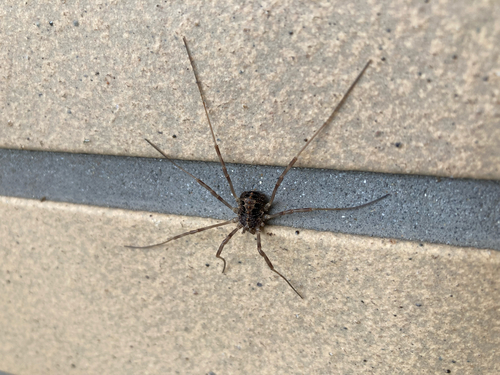
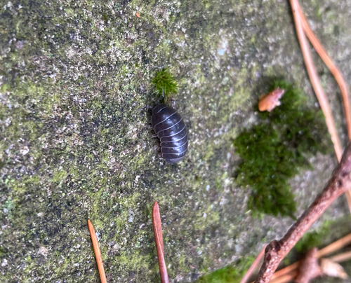
Research-grade observations from iNaturalist (within ~15 mi).
Events
Gallery
Official Identifiers
e-Stat — Statistics Bureau of Japan
- JIS code
- 324485
- Population (Wikidata)
- 4,253
- Wikidata
- Q1156165
JIS X 0402 dantai codes via Wikidata P429
Sources
- • Wikipedia
- • Wikidata
- • USGS Earthquake Catalog (global feed)
- • GBIF (Global Biodiversity Information Facility)
- • iNaturalist
- • e-Stat / Statistics Bureau of Japan — JIS X 0402 dantai code via Wikidata P429 (prefecture, municipality)
- • e-Stat — Statistics Bureau of Japan — JIS X 0402 dantai codes via Wikidata P429