Browse / Japan / Okinawa / Naha
Naha
Okinawacity

Naha
Total population
317,625
Founded
1921
Demographic figures from Statistics Bureau of Japan. Overview below cites Wikipedia and may reference a different year.
City facts
Facts from Wikidata (CC0).
Overview
Naha is the capital city of Okinawa Prefecture, the southernmost prefecture of Japan. As of 1 June 2019, the city has an estimated population of 317,405 and a population density of 7,939 people per km2. The total area is 39.98 km2 (15.44 sq mi).
Read more on WikipediaHistory & geography
History
According to the , the name of Naha comes from its original name, Naba, which was the name of a large, mushroom-shaped stone in the city. (Naba is a Western Japanese and Ryukyuan word for "mushroom.") Gradually, the stone wore away and became buried, and the name's pronunciation and its kanji gradually changed. In Naha, some archeological relics of the Stone Age were found. From a Jōmon period kaizuka (shell mound), ancient Chinese coins were found. Pottery found by archaeologists indicates that the area was an active site of trade with the Japanese archipelago and Korean peninsula at least as early as the 11th century. Though it is not known just when the area first became organized as a functioning port city, it was active as such by the time of the unification of the Ryūkyū Kingdom in the early 15th century. Though today Naha has grown to incorporate the former royal capital city of Shuri, center of Chinese learning Kumemura, and other towns and villages, in the period of the Ryūkyū Kingdom, it was a smaller city, prominent as a major port, but not as a political center. Medieval Naha was on a tiny island called Ukishima, connected to the mainland of Okinawa Island by a narrow causeway called which led on to Shuri. The main port area for international trade, Naha proper, was divided into the and districts and was on the southwestern portion of Ukishima. A large open-air marketplace was active in front of the royal government trading center, or . A number of Japanese temples and shrines were located here, along with a residence and embassy, known as the , for visiting Chinese officials. A pair of forts (Mie gusuku and Yarazamori gusuku) built atop embankments extending out across the entrance to the harbor defended the port, and a small island within the harbor…
Geography
Central Naha consists of the Palette Kumoji shopping mall, the Okinawa Prefecture Office, Naha City Hall, and many banks and corporations, located at the west end of Kokusai-dōri, the city's main street. boasts a 1.6 kilometer (1 mile) long stretch of stores, restaurants and bars. Kokusai-dōri ends at the main bus terminal in Okinawa and is served by several stations along the Okinawa Urban Monorail, the only train system in the prefecture. Spurring off from Kokusai-dōri is the covered Heiwa-dōri Shopping Arcade and Makishi Public Market, a massive shōtengai filled with fresh fish, meat, and produce stands, restaurants, tourist goods shops, and liquor shops. Just outside the market area is the neighborhood of , which was once a major center of ceramic production (see Tsuboya-yaki). Northeast of Kokusai-dōri is a relatively new commercial district called . The area, formerly United States military housing, was released to Okinawa in 1987, but major development only began in the mid-1990s. Omoromachi Station is attached directly to an upscale shopping mall; another mall, Naha Main Place, a few hundred meters (yards) down the street, contains many upscale Western-brand fashion boutiques, with restaurants and other shops. Frequented by young people, the area boasts large stores such as Toys R Us and Best Denki (an electronics store), a co-op market, many restaurants and a movie theater. The Okinawa Prefectural Museum, containing sections devoted to the art, history, and natural history of the Ryukyus, opened in the area in November 2007 and sits in front of Shintoshin Park. The city includes seventy-eight wards. Among the former municipalities, only Shuri still exists administratively as a local subdivision. * * * * * * * * * * * * * * * * * * * *…
Excerpted from the corresponding Wikipedia article (CC BY-SA).
Geography
Coordinates & boundaries from the US Census TIGER/Line shapefiles.
Climate
Air quality
Walkability
Amenities nearby
Wildlife & biodiversity
Earthquake history
Photos
Sights & places nearby
Notable people from here


People born within ~10 km, from Wikidata (CC0). Click any name for their Wikipedia article.
Nearby places in Okinawa
- Tomigusuku2.4 mi away · pop. 61,119
- Haebaru3.4 mi away · pop. 34,586
- Urasoe3.5 mi away · pop. 115,690
- マチナト・ポイントエリア4.5 mi away
- Yaese4.5 mi away · pop. 30,941
- Yonabaru4.8 mi away · pop. 15,405
- Nishihara5 mi away · pop. 34,869
- Itoman6.2 mi away · pop. 61,007
- Nanjo6.6 mi away · pop. 44,043
- Nakagusuku7.7 mi away · pop. 16,462
- Ginowan7.8 mi away · pop. 88,318
- Chatan9.1 mi away · pop. 26,377
Geography & sun
Elevation, sunrise/sunset and daylight from Open-Meteo. Solar climatology from NASA POWER.
Nearby airports
Public attention
Pageview totals from the Wikimedia Pageviews API.
Books about Naha
Search results from Open Library.
Recent natural events nearby
Ground air-quality sensors
Recently spotted species
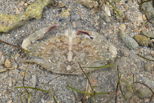
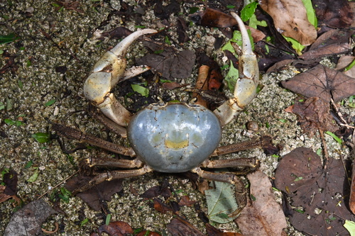
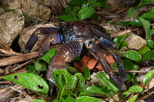
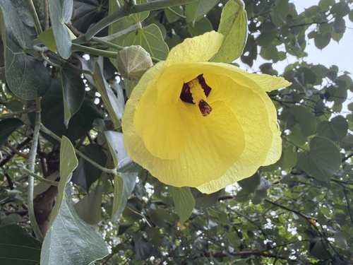
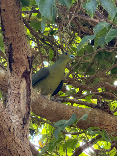
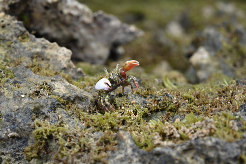
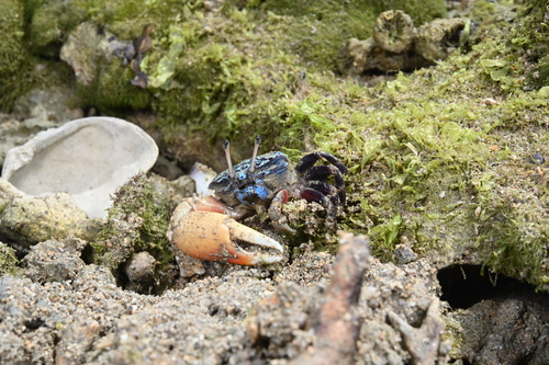
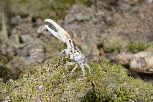
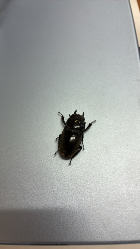
Research-grade observations from iNaturalist (within ~15 mi).
Events
Gallery
Geotagged photos within ~6 miles of Naha, from Wikimedia Commons contributors.
 0 mi
0 mi 0 mi
0 mi.jpeg) 0 mi
0 mi.jpeg) 0 mi
0 mi.jpeg) 0 mi
0 mi 0.1 mi
 0.1 mi
.jpg) 0.1 mi
0.1 mi 0.1 mi
 0.1 mi
 0.1 mi
 0.1 mi
 0.1 mi
 0.1 mi
 0.1 mi
 0.1 mi
 0.1 mi
 0.1 mi
 0.1 mi
 0.1 mi
 0.1 mi
 0.1 mi
 0.1 mi
 0.1 mi
Photos via Wikimedia Commons — see each image page for license & attribution.
Official Identifiers
e-Stat — Statistics Bureau of Japan
- JIS code
- 472018
- Population (Wikidata)
- 316,048
- Wikidata
- Q181966
JIS X 0402 dantai codes via Wikidata P429
Sources
- • Wikipedia
- • Wikimedia Commons
- • Wikidata
- • iNaturalist
- • Open-Meteo / sunrise-sunset.org
- • Wikipedia Pageviews API
- • Open Library
- • e-Stat / Statistics Bureau of Japan — JIS X 0402 dantai code via Wikidata P429 (prefecture, municipality)
- • e-Stat — Statistics Bureau of Japan — JIS X 0402 dantai codes via Wikidata P429