Browse / Japan / Hokkaido / Obihiro
Obihiro
Hokkaidocity

Obihiro
Total population
166,536
Founded
1933
Air quality index
Demographic figures from Statistics Bureau of Japan. Overview below cites Wikipedia and may reference a different year.
City facts
Facts from Wikidata (CC0).
Overview
Obihiro is a city located in Tokachi Subprefecture, Hokkaidō, Japan. As of 31 December 2025, the city had an estimated population of 159,294 in 90105 households, and a population density of 257 people per km2. The total area of the city is 619.34 km2 (239.13 sq mi). The next most populous municipality in Tokachi is the adjacent town of Otofuke, with less than a third of Obihiro's population. In 2008, Obihiro was designated a "model environmental city" in Japan.
Read more on WikipediaHistory & geography
History
Obihiro was the area first settled by Yoda Benzō in May 1883. It became a city on April 1, 1933. In 1957 the villages of Taishō and Kawanishi merged with Obihiro, bringing it to its current size. :1883: Benzō Yoda and his "Banseisha" pioneers arrive in Opereperekepu. :1886: The Banseisha constructs the first road and two bridges. :1892: Obihiro's first post office is built. :1905: The Obihiro-Kushiro railway is completed. :1914: First electric lights installed. :1932: Midorigaoka Airport completed. :1933: Obihiro becomes a municipality. Moriharu Watanabe is the first mayor. :1945: Air-raid on Obihiro during World War II. :1949: Obihiro University of Agriculture and Veterinary Medicine constructed. :1954: Emperor Hirohito visits Obihiro. :1960: Ōtani Junior College is built. :1966: Obihiro Station is built. :1985: Obihiro no Mori speed skating rink constructed. :1991: Hokkaido Obihiro Museum of Art is built. :1993: Population reaches 170,000 people. :1996: Tokachi Ōhashi Bridge is completed. :2009: Indoor Speed Skating Facility Completed.
Geography
Obihiro is located in southeastern Hokkaido, almost in the center of the Tokachi Plain, with its boundaries extending to the southwest. The mountainous region is designated as Hidakasanmyaku-Erimo-Tokachi National Park. Approximately half of the plains are farmland, forming a large-scale field cropping area. The Tokachi River, the sixth largest river basin in Japan, flows through the northern part of the city. *Otofuke *Memuro *Sarabetsu *Nakasatsunai *Makubetsu *Biratori *Hidaka *Niikappu Obihiro has one of Japan's most pristine rivers flowing through its city limits. Japan's Ministry of Land, Infrastructure, Transport and Tourism has chosen Obihiro's Satsunai River, which joins the Tokachi River outside of town, as the cleanest Class A river in Japan seven times since 1991. It is designated as a Class A River by the Japanese government due to its importance to environmental conservation and the national economy. In the Ainu language, Satnay means "dry river", and even today, most of its run is shallow. The city draws most of its drinking water from the Satsunai. The biggest pollutant in the river is nitrates from fertilizer run off from all the farming operations along the river's banks. The other major river in the city is the Tokachi, but its water is not used for drinking as it has much higher pollution levels. In 1974, a plan for the creation of an expansive city recreation space was initiated, and from 1975 to 2004 large groups of Obihiro citizens participated in "Tree Planting Festivals" (). These actions have resulted in the creation of a new forest; the Obihiro no Mori (). Recently, tree planting in the forest has been limited to small projects due to a lack of space to plant more trees. Per Japanese census data, the population of Obihiro has remained…
Excerpted from the corresponding Wikipedia article (CC BY-SA).
Geography
Coordinates & boundaries from the US Census TIGER/Line shapefiles.
Climate
Air quality
Current readings from Open-Meteo Air Quality API (Copernicus CAMS European reanalysis).
Walkability
Amenities nearby
Wildlife & biodiversity
Most-observed species
- Brown-eared BulbulHypsipetes amaurotis (Temminck, 1830) · Aves353
- Cinereous TitParus cinereus Vieillot, 1818 · Aves349
- Carrion CrowCorvus corone Linnaeus, 1758 · Aves302
- Marsh TitPoecile palustris (Linnaeus, 1758) · Aves294
- Eurasian NuthatchSitta europaea Linnaeus, 1758 · Aves257
- Large-billed CrowCorvus macrorhynchos Wagler, 1827 · Aves242
- Eurasian Tree SparrowPasser montanus (Linnaeus, 1758) · Aves210
- Great Spotted WoodpeckerDendrocopos major (Linnaeus, 1758) · Aves209
Citizen-science & research observations from the Global Biodiversity Information Facility (GBIF).
Earthquake history
Most recent
- M 4.5 — 2026-05-3019 km W of Shiranuka, Japan
- M 4 — 2026-05-1518 km W of Oketo, Japan
- M 4.4 — 2026-05-0428 km SE of Shimukappu, Japan
- M 5.9 — 2026-04-2622 km W of Sarabetsu, Japan
- M 4 — 2026-03-0429 km WSW of Sarabetsu, Japan
- M 4.5 — 2026-02-0819 km NE of Honchō, Japan
Events from the USGS Earthquake Catalog (global) (FDSN Event Web Service).
Photos
Sights & places nearby
Notable people from here


People born within ~10 km, from Wikidata (CC0). Click any name for their Wikipedia article.
Geography & sun
Elevation, sunrise/sunset and daylight from Open-Meteo. Solar climatology from NASA POWER.
Nearby airports
Public attention
Pageview totals from the Wikimedia Pageviews API.
Books about this place
Recent natural events nearby
Ground air-quality sensors
Recently spotted species
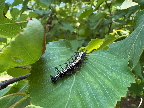
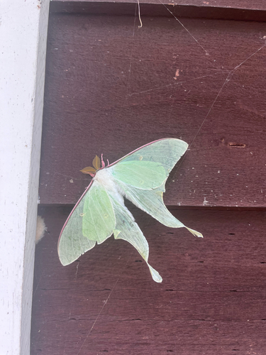
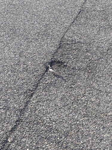
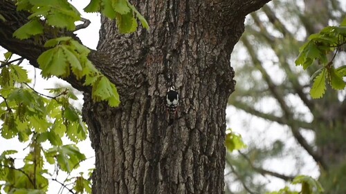
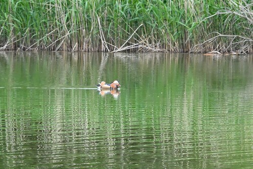
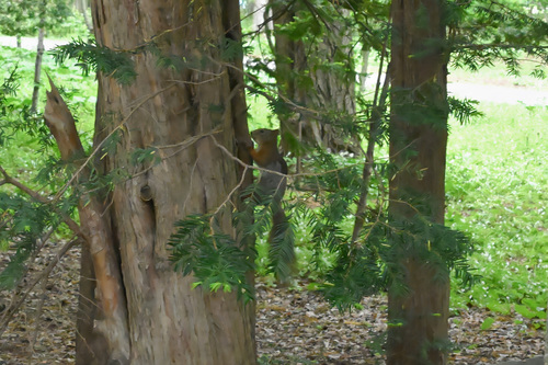
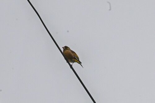
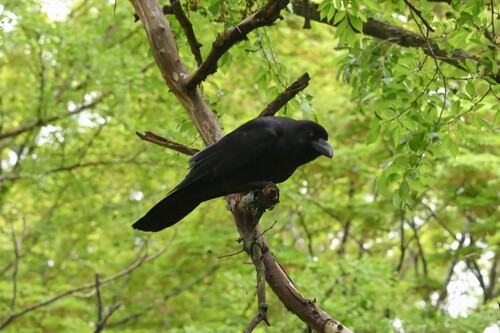
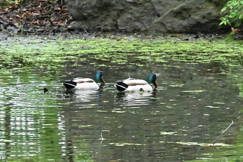
Research-grade observations from iNaturalist (within ~15 mi).
Events
Notable, recurring, and historical events associated with Obihiro, sourced from Wikidata.
- 2019 IIHF U18 Women's World ChampionshipJan 6, 2019recurring event edition
2019 edition of the IIHF Women's U18 World Championship
Source: Wikidata (CC0).
Gallery
Geotagged photos within ~6 miles of Obihiro, from Wikimedia Commons contributors.
 0 mi
0 mi 0.1 mi
 0.1 mi
 0.2 mi
 0.2 mi
.jpg) 0.3 mi
0.3 mi 0.3 mi
 0.3 mi
 0.3 mi
 0.3 mi
 0.3 mi
 0.3 mi
 0.3 mi
 0.3 mi
 0.4 mi
_-_panoramio.jpg) 0.4 mi
0.4 mi.jpg) 0.4 mi
0.4 mi.jpg) 0.4 mi
0.4 mi 0.4 mi
 0.4 mi
 0.4 mi
 0.4 mi
 0.4 mi
 0.4 mi
Photos via Wikimedia Commons — see each image page for license & attribution.
Official Identifiers
e-Stat — Statistics Bureau of Japan
- JIS code
- 012076
- Population (Wikidata)
- 165,684
- Wikidata
- Q177149
JIS X 0402 dantai codes via Wikidata P429
Sources
- • Wikipedia
- • Wikimedia Commons
- • Wikidata
- • Open-Meteo Air Quality (CAMS)
- • USGS Earthquake Catalog (global feed)
- • GBIF (Global Biodiversity Information Facility)
- • iNaturalist
- • Open-Meteo / sunrise-sunset.org
- • Wikipedia Pageviews API
- • e-Stat / Statistics Bureau of Japan — JIS X 0402 dantai code via Wikidata P429 (prefecture, municipality)
- • e-Stat — Statistics Bureau of Japan — JIS X 0402 dantai codes via Wikidata P429