Taku
Sagacity

Taku
Total population
18,295
Founded
1954
Demographic figures from Statistics Bureau of Japan. Overview below cites Wikipedia and may reference a different year.
City facts
Facts from Wikidata (CC0).
Overview
Taku is a city located in Saga Prefecture on the island of Kyushu, Japan. As of 1 May 2024, the city had an estimated population of 17,807 in 7,912 households, and a population density of 180 persons per km2. The total area of the city is 125.13 km2 (48.31 sq mi). Taku joined the UNESCO Global Network of Learning Cities in 2017.
Read more on WikipediaHistory & geography
History
The area of Taku was part of ancient Hizen Province. During the Edo period it was mostly was part of Saga Domain. Following the Meiji restoration, the villages of Kita-Taku, Taku, Nishi-Taku, Higashi-Taku, and Minami-Taku were established with the creation of the modern municipalities system. Kita-Taku was raised to town status on April 1, 1949. These municipalities merged on May 1, 1954 to form the city of Taku.
Geography
Taku is located about 25 kilometers west of Saga City, in a basin along the Ushizu River, with the urban center at the center. Although it is surrounded by mountains, there is flat land to the east and low passes connect it to other directions. Saga Prefecture *Karatsu *Kōhoku *Ogi *Ōmachi *Saga *Takeo Taku has a humid subtropical climate (Köppen Cfa) characterized by warm summers and cool winters with light to no snowfall. The average annual temperature in Taku is 15.5 °C. The average annual rainfall is 1864 mm with September as the wettest month. The temperatures are highest on average in August, at around 26.5 °C, and lowest in January, at around 5.0 °C. Per Japanese census data, the population of Taku is as shown below.
Excerpted from the corresponding Wikipedia article (CC BY-SA).
Geography
Coordinates & boundaries from the US Census TIGER/Line shapefiles.
Climate
Air quality
Walkability
Amenities nearby
Wildlife & biodiversity
Earthquake history
Photos
Sights & places nearby
Notable people from here


People born within ~10 km, from Wikidata (CC0). Click any name for their Wikipedia article.
Nearby places in Saga
Geography & sun
Elevation, sunrise/sunset and daylight from Open-Meteo. Solar climatology from NASA POWER.
Nearby airports
Public attention
Pageview totals from the Wikimedia Pageviews API.
Books about Taku
Search results from Open Library.
Recent natural events nearby
Ground air-quality sensors
Recently spotted species


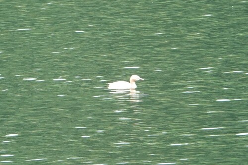
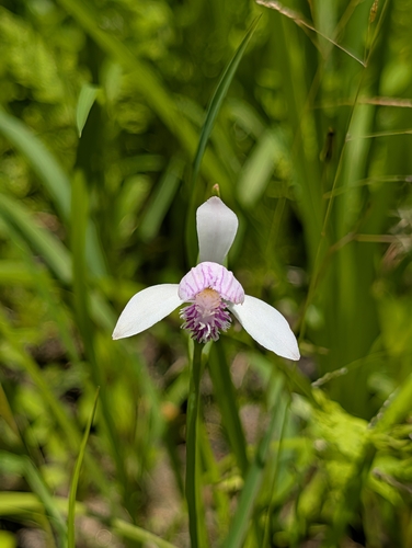

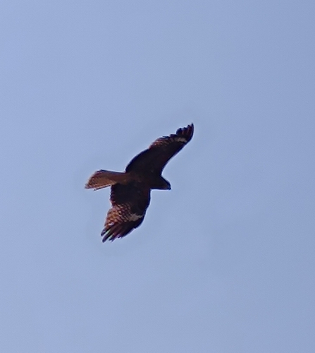
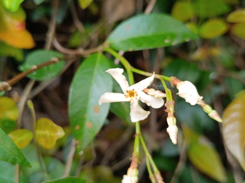
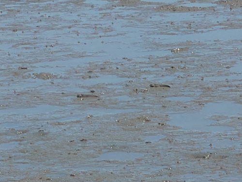
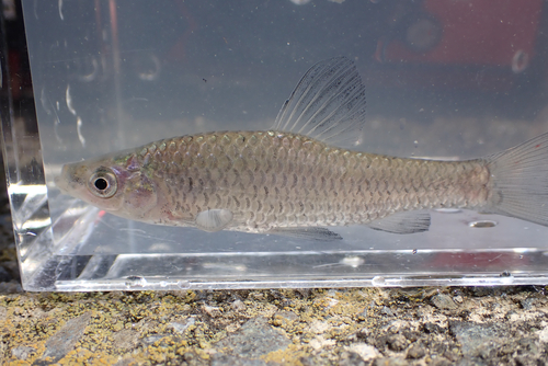
Research-grade observations from iNaturalist (within ~15 mi).
Events
Gallery
Geotagged photos within ~6 miles of Taku, from Wikimedia Commons contributors.
 0.1 mi
 0.1 mi
 0.1 mi
 0.1 mi
 0.1 mi
 0.1 mi
 0.2 mi
 0.2 mi
 0.2 mi
 0.3 mi
 0.4 mi
 0.4 mi
 0.4 mi
 0.4 mi
 0.4 mi
 0.4 mi
 0.4 mi
 0.5 mi
 0.5 mi
 0.5 mi
 0.5 mi
 0.6 mi
 0.6 mi
 0.7 mi
Photos via Wikimedia Commons — see each image page for license & attribution.
Official Identifiers
e-Stat — Statistics Bureau of Japan
- JIS code
- 412040
- Population (Wikidata)
- 18,215
- Wikidata
- Q877177
JIS X 0402 dantai codes via Wikidata P429
Sources
- • Wikipedia
- • Wikimedia Commons
- • Wikidata
- • iNaturalist
- • Open-Meteo / sunrise-sunset.org
- • Wikipedia Pageviews API
- • Open Library
- • e-Stat / Statistics Bureau of Japan — JIS X 0402 dantai code via Wikidata P429 (prefecture, municipality)
- • e-Stat — Statistics Bureau of Japan — JIS X 0402 dantai codes via Wikidata P429