Browse / Japan / Tokyo / Tokyo
Tokyo
Tokyocity

Tokyo
Total population
13,613,660

Founded
1868
Air quality index
Demographic figures from Statistics Bureau of Japan. Overview below cites Wikipedia and may reference a different year.
City facts
Sister cities
Facts from Wikidata (CC0).
Overview
Tokyo, officially the Tokyo Metropolis, is the capital and most populous city of Japan. The population of the city proper was over 14 million as of 2023. The Greater Tokyo Area, which includes Tokyo and parts of six neighboring prefectures, is the third-most populous metropolitan area in the world, with 33 million residents as of 2025.
Read more on WikipediaHistory & geography
History
The site of Tokyo has been inhabited since ancient times, and there have been multiple Paleolithic period (around 40,000–16,000 BC) sites found in present-day Tokyo. During the subsequent Jomon period, the Holocene glacial retreat caused sea levels in Tokyo Bay to rise by 120 cm, with the coastline running along the edge of what is now the Imperial Palace. Middens such as the Omori Shell Mounds still mark where the coastline ran in those days. The Yayoi period, during which agriculture spread across the country, is named after the Yayoi 2-chōme Site in Bunkyo, where the first example of Yayoi pottery was excavated in 1884 by Shozo Arisaka. In 534, a large-scale conflict was recorded in the region, as a result of which Kasahara no Omi, the victor, was appointed Kuni no Miyatsuko (provincial governor) by Emperor Ankan. Senso-ji in Asakusa was founded in 645. Under the Ritsuryō system established during the Asuka period, most of present-day Tokyo was part of Musashi Province. Following the fall of the Kingdom of Baekje after the Battle of Baekgang in the 660s, thousands of refugees were resettled in Musashi. During the Heian period, Edo was first fortified by the Edo clan in the late twelfth century, and in 1457, Ōta Dōkan built Edo Castle to defend the region from the Chiba clan. After Dōkan was assassinated in 1486, the Ohgigayatsu branch of the Uesugi clan took control of the castle and the surrounding area. However, the Later Hōjō clan replaced them after the Battle of Takanawahara in 1524, only to be defeated by Toyotomi Hideyoshi during the Siege of Odawara in 1590. Following the siege of Odawara, Tokugawa Ieyasu was granted the Kantō region and moved there from his ancestral land of Mikawa Province. When he became shōgun, the de facto ruler of the country, in…
Geography
The mainland portion of Tokyo lies northwest of Tokyo Bay and measures about east to west and north to south. The average elevation in Tokyo is . Chiba Prefecture borders it to the east, Yamanashi to the west, Kanagawa to the south, and Saitama to the north. Mainland Tokyo is further subdivided into the special wards (occupying the eastern half) and the Tama area () stretching westwards. Tokyo has a latitude of 35.65 (near the 36th parallel north), which makes it more southern than Rome (41.90), New York City (40.71) and Beijing (39.91). Within the administrative boundaries of Tokyo Metropolis are two island chains in the Pacific Ocean directly south: the Izu Islands, and the Ogasawara Islands, which stretch more than away from the mainland. Because of these islands and the mountainous regions to the west, Tokyo's overall population density figures far under-represent the real figures for the urban and suburban regions of Tokyo. The former city of Tokyo and the majority of Tokyo prefecture lie in the humid subtropical climate zone (Köppen climate classification: Cfa), with hot, humid summers and cool winters with occasional cold spells. The region, like much of Japan, experiences a one-month seasonal lag. The warmest month is August, which averages . The coolest month is January, averaging . The record low temperature was on January 13, 1876. The record high was on July 20, 2004. The record highest low temperature is , on August 11, 2013. Annual rainfall averages nearly , with a wetter summer and a drier winter. The growing season in Tokyo lasts for about 322 days from around mid-February to early January. Snowfall is sporadic and occurs almost annually. Tokyo often sees typhoons every year, though few are strong. The wettest month since records began in 1876…
Excerpted from the corresponding Wikipedia article (CC BY-SA).
Geography
Coordinates & boundaries from the US Census TIGER/Line shapefiles.
Climate
10-year averages from ERA5 reanalysis (Open-Meteo).
Air quality
Current readings from Open-Meteo Air Quality API (Copernicus CAMS European reanalysis).
Walkability
Amenities nearby
Wildlife & biodiversity
Most-observed species
- Brown-eared BulbulHypsipetes amaurotis (Temminck, 1830) · Aves26,016
- Eurasian Tree SparrowPasser montanus (Linnaeus, 1758) · Aves23,720
- Eastern Spot-billed DuckAnas zonorhyncha Swinhoe, 1866 · Aves22,321
- Rock PigeonColumba livia J.F.Gmelin, 1789 · Aves21,861
- Large-billed CrowCorvus macrorhynchos Wagler, 1827 · Aves19,678
- White-cheeked StarlingSpodiopsar cineraceus (Temminck, 1835) · Aves17,929
- White WagtailMotacilla alba Linnaeus, 1758 · Aves17,859
- Great Cormorant/European ShagPhalacrocorax carbo (Linnaeus, 1758) · Aves17,089
Citizen-science & research observations from the Global Biodiversity Information Facility (GBIF).
Earthquake history
Most recent
- M 5.8 — 2026-08-224 km N of Toride, Japan
- M 4.3 — 2026-08-075 km WNW of Ōami, Japan
- M 4.7 — 2026-07-163 km WNW of Yōkaichiba, Japan
- M 4.3 — 2026-07-023 km NE of Asahi, Japan
- M 4.2 — 2026-06-265 km NNW of Kemigawa, Japan
- M 5.2 — 2026-06-266 km SW of Ōtsuki, Japan
Events from the USGS Earthquake Catalog (global) (FDSN Event Web Service).
Photos
.jpg)
夢の6面ディスプレイ。 (14447217506)
.jpg)
東京国際フォーラム 2010 (4348479007)

東京国際フォーラム - panoramio
.jpg)
東京国際フォーラム - panoramio (3)
.jpg)
東京国際フォーラム - panoramio (5)
.jpg)
東京国際フォーラム - panoramio (6)

Tokyo Forlum 東京フォーラム - panoramio
.jpg)
東京国際フォーラム - panoramio (8)
.jpg)
3 Chome Marunouchi, Chiyoda-ku, Tōkyō-to 100-0005, Japan - panoramio (7)

Tokyo International Forum 2017 roof

Fukusuke-full-counter-fleamarket-tokyoarea-march6-2017

Tokyo International Forum – inside view1
Geo-tagged photos from Wikimedia Commons (CC-licensed; click any photo for license details).
Sights & places nearby
Notable people from here


People born within ~10 km, from Wikidata (CC0). Click any name for their Wikipedia article.
Nearby places in Tokyo
- Chuo0.6 mi away · pop. 158,508
- Chiyoda1.3 mi away · pop. 46,397
- Minato1.5 mi away · pop. 254,699
- Bunkyo2.2 mi away · pop. 227,902
- Taito2.6 mi away · pop. 203,893
- Koto3 mi away · pop. 524,310
- Sumida3.1 mi away · pop. 272,085
- Shinjuku3.6 mi away · pop. 349,385
- Shibuya3.9 mi away · pop. 230,707
- Arakawa4.3 mi away · pop. 216,232
- Toshima4.3 mi away · pop. 298,562
- Meguro4.4 mi away · pop. 288,088
Geography & sun
Elevation, sunrise/sunset and daylight from Open-Meteo. Solar climatology from NASA POWER.
Nearby airports
Public attention
Pageview totals from the Wikimedia Pageviews API.
Books about Tokyo








Search results from Open Library.
Recent natural events nearby
- Typhoon MekkhalaSevere Storms · 2026-06-27 · 93 mi
- Tropical Storm HigosSevere Storms · 2026-06-27 · 182 mi
Wildfires, storms and other events from NASA EONET (last 12 months, within 250 mi).
Ground air-quality sensors
Recently spotted species
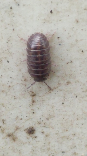
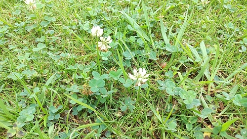
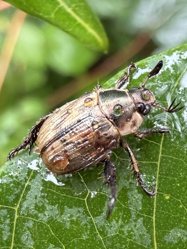
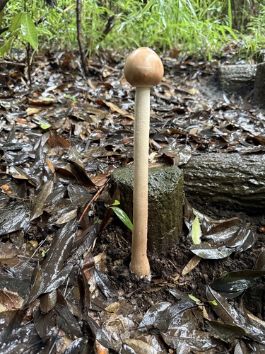
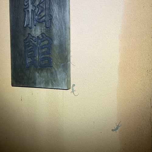
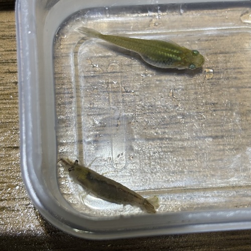
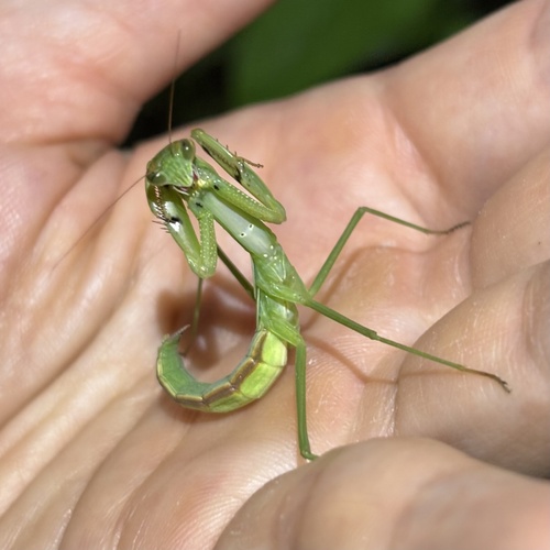
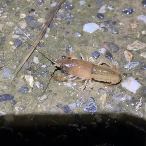
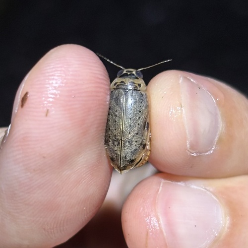
Research-grade observations from iNaturalist (within ~15 mi).
Events
Notable, recurring, and historical events associated with Tokyo, sourced from Wikidata.
- Jan 1, 2002
- Jan 1, 2002
- 1991 World Championships in Athletics – Women's MarathonJan 1, 1991sporting event
- Jan 1, 1991
- 1991 World Championships in Athletics – men's pole vaultJan 1, 1991sporting event
- Jan 1, 1991
- Jan 1, 1991
- Jan 1, 1991
- Jan 1, 1991
- Jan 1, 1991
- Jan 1, 1991
- Jan 1, 1991
- Jan 1, 1991
- Jan 1, 1991
- Jan 1, 1991
- 1991 World Championships in Athletics – men's 200 metresJan 1, 1991sporting event
- Jan 1, 1991
- 1991 World Championships in Athletics – men's 400 metresJan 1, 1991sporting event
- Jan 1, 1991
- 1991 World Championships in Athletics – men's decathlonJan 1, 1991sporting event
Source: Wikidata (CC0).
Gallery
Geotagged photos within ~6 miles of Tokyo, from Wikimedia Commons contributors.
.jpeg)
_(28858808138).jpg)
_(42013688604).jpg)

.jpg)
.jpg)


_2018-03-10_02H19M42S000_(242065420838633_at_5Urhk_b4TlWEx8F7ygdYzg)_taken_with_unknown_model.jpg)
_2018-03-10_02H19M42S000_(187263609908337_at_5Urhk_b4TlWEx8F7ygdYzg)_taken_with_unknown_model.jpg)
_2018-03-10_02H19M42S000_(494853848365962_at_5Urhk_b4TlWEx8F7ygdYzg)_taken_with_unknown_model.jpg)
_2018-03-10_02H19M43S000_(897758150801394_at_5Urhk_b4TlWEx8F7ygdYzg)_taken_with_unknown_model.jpg)
_2018-03-10_02H19M43S000_(512909316410079_at_5Urhk_b4TlWEx8F7ygdYzg)_taken_with_unknown_model.jpg)
_2018-03-10_02H19M43S000_(459224861856162_at_5Urhk_b4TlWEx8F7ygdYzg)_taken_with_unknown_model.jpg)
_2018-03-10_02H19M43S000_(301660034862367_at_5Urhk_b4TlWEx8F7ygdYzg)_taken_with_unknown_model.jpg)
_2018-03-10_02H19M43S000_(127253996092639_at_5Urhk_b4TlWEx8F7ygdYzg)_taken_with_unknown_model.jpg)
_2018-03-10_02H19M44S000_(295217232055119_at_5Urhk_b4TlWEx8F7ygdYzg)_taken_with_unknown_model.jpg)
Photos via Wikimedia Commons — see each image page for license & attribution.
Official Identifiers
e-Stat — Statistics Bureau of Japan
- JIS code
- 130001
- Population (Wikidata)
- 14,264,798
- Wikidata
- Q1490
JIS X 0402 dantai codes via Wikidata P429
Sources
- • Wikipedia
- • Open-Meteo (ERA5 reanalysis)
- • Wikimedia Commons
- • Wikidata
- • Open-Meteo Air Quality (CAMS)
- • USGS Earthquake Catalog (global feed)
- • GBIF (Global Biodiversity Information Facility)
- • iNaturalist
- • Open-Elevation
- • Open-Meteo / sunrise-sunset.org
- • Wikipedia Pageviews API
- • Open Library
- • NASA EONET
- • e-Stat / Statistics Bureau of Japan — JIS X 0402 dantai code via Wikidata P429 (prefecture, municipality)
- • e-Stat — Statistics Bureau of Japan — JIS X 0402 dantai codes via Wikidata P429
Notes: Nearby POIs unavailable; Photos unavailable; Notable people unavailable; Schools data unavailable; Walkability unavailable; EPA pollution data unavailable; Livability counts unavailable; County FIPS lookup failed (no FEMA NRI); Wikidata facts unavailable