Browse / Japan / Kagawa / Zentsuji
Zentsuji
Kagawacity

Zentsuji
Total population
32,451
Founded
1954
Air quality index
Demographic figures from Statistics Bureau of Japan. Overview below cites Wikipedia and may reference a different year.
City facts
Facts from Wikidata (CC0).
Overview
Zentsūji is a city located in Kagawa Prefecture, Japan. As of 1 October 2022, the city had an estimated population of 30,780 in 13096 households and a population density of 770 persons per km2. The total area of the city is 39.93 square kilometres (15.42 sq mi).
Read more on WikipediaHistory & geography
History
The area of Zentsūji was part of ancient Sanuki Province and has been inhabited since prehistoric times. A number of burial mounds from the Kofun period have been identified, including the Arioka Kofun cluster. The city is the birthplace of the Buddhist monk Kūkai, also known as Kōbō Daishi. Zentsū-ji (from which the city derives its name), was established in 813 on the site of his birth, is the 75th temple on the 88-temple Shikoku Pilgrimage. The city originated as a market town which developed in front of the gates of this temple. During the Edo Period, the city area was part of the holdings of Marugame Domain, Takamatsu Domain and Tadotsu Domain under the Tokugawa shogunate. Following the Meiji restoration, the village of Zentsūji was established within Tado District, Kagawa with the creation of the modern municipalities system on December 16,1878. Tado District became Nakatado District in 1899. Zentsūji was elevated to town status on November 3, 1901 and after merging with four neighboring villages, was elevated to city status on March 31, 1954. From 1896 to 1945, the IJA 11th Infantry Division was headquartered in Zentsūji, which hosted the largest military base in Shikoku. During World War II, Zentsuji was the location of a Prisoner-of-war camp in World War II. After the war, the former base site was converted into the location for the city hall and Shikoku Gakuin University, in addition to other public facilities. However, the city still retains a strong connection to the military and is the location a Japan Ground Self-Defense Force brigade headquarters and garrison.
Geography
Zentsūji is located in northwestern Kagawa Prefecture. It is the only city in Kagawa Prefecture that does not face the sea. Kagawa Prefecture *Kotohira * Mannō *Marugame *Mitoyo *Tadotsu Zentsūji has a humid subtropical climate (Köppen Cfa) characterized by warm summers and cool winters with light snowfall. The average annual temperature in Zentsūji is 15.1 °C. The average annual rainfall is 1439 mm with September as the wettest month. The temperatures are highest on average in August, at around 26.2 °C, and lowest in January, at around 4.7 °C.
Excerpted from the corresponding Wikipedia article (CC BY-SA).
Geography
Coordinates & boundaries from the US Census TIGER/Line shapefiles.
Climate
Air quality
Current readings from Open-Meteo Air Quality API (Copernicus CAMS European reanalysis).
Walkability
Amenities nearby
Wildlife & biodiversity
Most-observed species
- Gray/Purple HeronArdea cinerea Linnaeus, 1758 · Aves32
- Brown-eared BulbulHypsipetes amaurotis (Temminck, 1830) · Aves31
- Oriental Turtle-DoveStreptopelia orientalis (Latham, 1790) · Aves29
- Large-billed CrowCorvus macrorhynchos Wagler, 1827 · Aves28
- Varied TitPoecile varius (Temminck & Schlegel, 1848) · Aves28
- Eurasian Tree SparrowPasser montanus (Linnaeus, 1758) · Aves27
- Great Cormorant/European ShagPhalacrocorax carbo (Linnaeus, 1758) · Aves26
- Japanese White-eyeZosterops japonicus Temminck & Schlegel, 1845 · Aves23
Citizen-science & research observations from the Global Biodiversity Information Facility (GBIF).
Earthquake history
Most recent
- M 4 — 2023-11-1015 km E of Kochi, Japan
- M 4.3 — 2022-12-284 km SSE of Aki, Japan
- M 4.9 — 2022-06-165 km S of Komatsushimach?, Japan
- M 4 — 2022-05-2212 km SSW of Kamojimach?-j?gejima, Japan
- M 4.7 — 2021-07-318 km SW of Anan, Japan
- M 4.6 — 2021-07-187 km ESE of Ikedach?, Japan
Events from the USGS Earthquake Catalog (global) (FDSN Event Web Service).
Photos
Sights & places nearby
Notable people from here


People born within ~10 km, from Wikidata (CC0). Click any name for their Wikipedia article.
Geography & sun
Elevation, sunrise/sunset and daylight from Open-Meteo. Solar climatology from NASA POWER.
Nearby airports
Public attention
Pageview totals from the Wikimedia Pageviews API.
Books about this place
Recent natural events nearby
Ground air-quality sensors
Recently spotted species
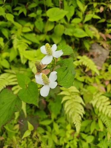
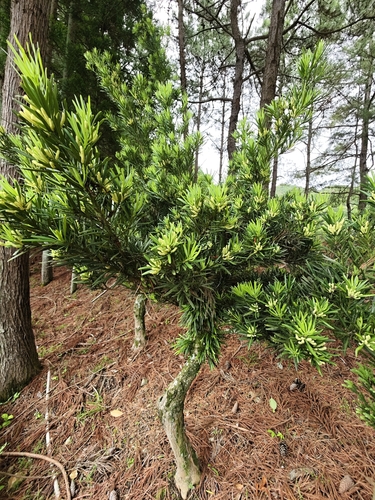
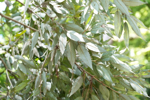
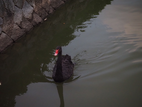
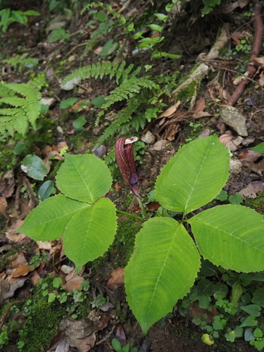
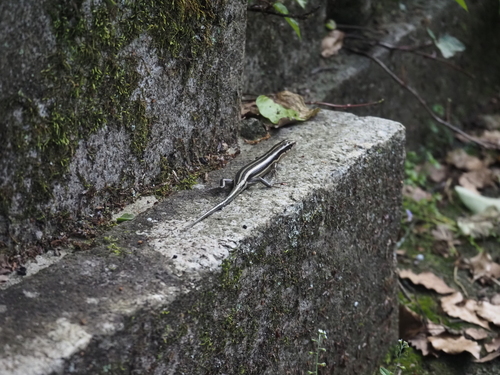
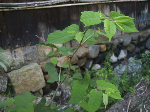
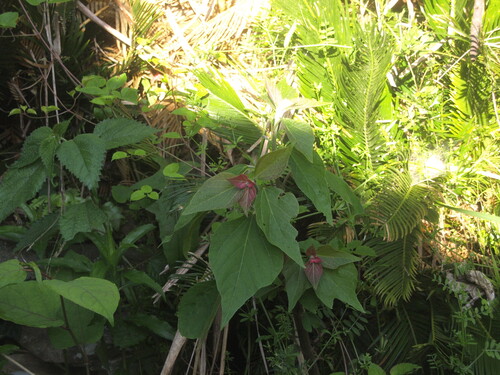
Research-grade observations from iNaturalist (within ~15 mi).
Events
Gallery
Sources
- • Wikipedia
- • Wikidata
- • Open-Meteo Air Quality (CAMS)
- • USGS Earthquake Catalog (global feed)
- • GBIF (Global Biodiversity Information Facility)
- • iNaturalist
- • Open-Meteo / sunrise-sunset.org
- • Wikipedia Pageviews API