Browse / Cambodia / Kampot / Kampot
Kampot
Kampotcity

Kampot
Total population
39,186
Air quality index
Demographic figures from National Institute of Statistics (Cambodia). Overview below cites Wikipedia and may reference a different year.
City facts
Overview
Kampot is a city in southern Cambodia and the capital of Kampot province. It is situated on the Praek Tuek Chhu River, southeast of the Elephant Mountains, and around five kilometres from the Gulf of Thailand. Kampot was the capital of the Circonscription Résidentielle de Kampot under French rule and Cambodia's most important seaport after the loss of the Mekong Delta and before the establishment of Sihanoukville. Its center is, unlike most Cambodian provincial capitals, composed of 19th-century French colonial architecture. The region and town are known for high-quality pepper, which is exported worldwide. It is also known for its fish sauce, sea salt, and durian. The government and the Ministry of Culture and Fine Art have been preparing documents to nominate the Old Town of Kampot for admission to the UNESCO World Heritage Site list, since 2017.
Read more on WikipediaHistory & geography
Geography
Coordinates & boundaries from the US Census TIGER/Line shapefiles.
Climate
10-year averages from ERA5 reanalysis (Open-Meteo).
Air quality
Current readings from Open-Meteo Air Quality API (Copernicus CAMS European reanalysis).
Walkability
Amenities nearby
Wildlife & biodiversity
Most-observed species
- White-nest SwiftletAerodramus fuciphagus (Thunberg, 1812) · Aves329
- Little Egret/Western Reef-HeronEgretta garzetta (Linnaeus, 1766) · Aves282
- Common MynaAcridotheres tristis (Linnaeus, 1766) · Aves258
- Little CormorantMicrocarbo niger (Vieillot, 1817) · Aves248
- Paddyfield PipitAnthus rufulus Vieillot, 1818 · Aves228
- Zebra DoveGeopelia striata (Linnaeus, 1766) · Aves228
- Yellow-vented BulbulPycnonotus goiavier (Scopoli, 1786) · Aves219
- Common GreenshankTringa nebularia (Gunnerus, 1767) · Aves203
Citizen-science & research observations from the Global Biodiversity Information Facility (GBIF).
Earthquake history
Events from the USGS Earthquake Catalog (global) (FDSN Event Web Service).
Photos
Sights & places nearby
Notable people from here


People born within ~10 km, from Wikidata (CC0). Click any name for their Wikipedia article.
Nearby places in Kampot
- Welikanda1574.2 mi away · pop. 15,000
- Sewanapitiya1578.8 mi away · pop. 5,000
- Aralaganwila1580.2 mi away · pop. 15,000
- Dalukana1582.2 mi away · pop. 5,000
- Sungavila1583.7 mi away · pop. 5,000
- Manampitiya1583.8 mi away · pop. 15,000
- Onegama1584.1 mi away · pop. 5,000
- Dimbulagala1584.6 mi away · pop. 5,000
- Pulasthigama1584.7 mi away · pop. 5,000
- 14 Canal1584.8 mi away · pop. 5,000
- Tambala1586.7 mi away · pop. 5,000
- Gallella1587.5 mi away · pop. 5,000
Geography & sun
Elevation, sunrise/sunset and daylight from Open-Meteo. Solar climatology from NASA POWER.
Nearby airports
Public attention
Pageview totals from the Wikimedia Pageviews API.
Books about Kampot
Search results from Open Library.
Recent natural events nearby
Ground air-quality sensors
Recently spotted species
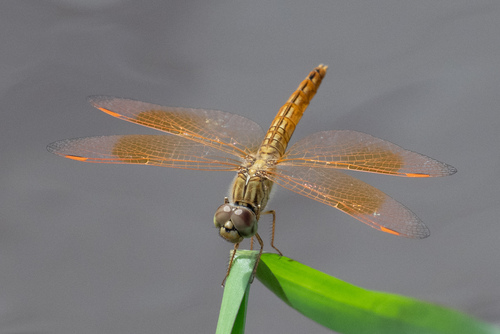
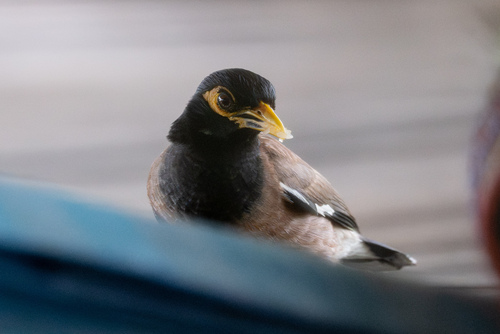
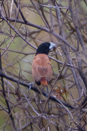
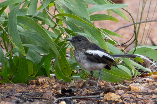
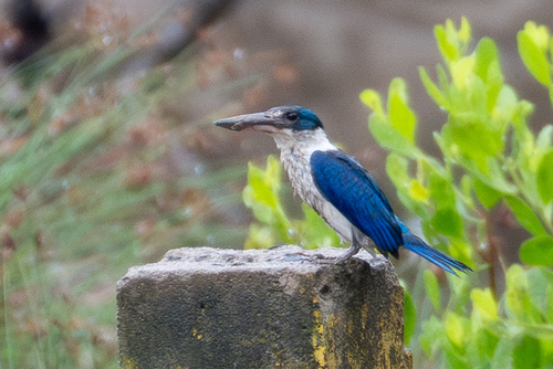
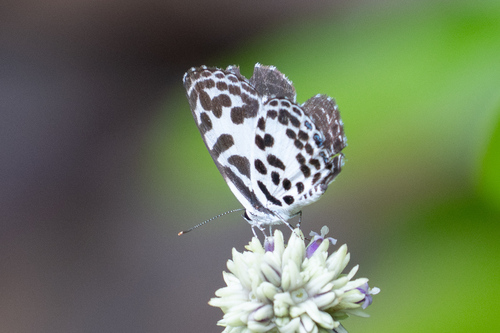
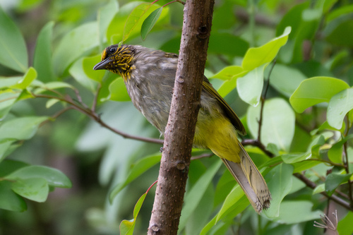
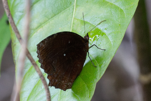
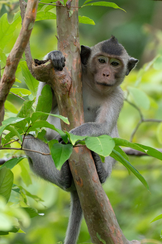
Research-grade observations from iNaturalist (within ~15 mi).
Events
Gallery
Geotagged photos within ~6 miles of Kampot, from Wikimedia Commons contributors.
 0 mi
0 mi 0 mi
0 mi 0 mi
0 mi 0 mi
0 mi.jpg) 0 mi
0 mi.jpg) 0 mi
0 mi.jpg) 0 mi
0 mi.jpg) 0 mi
0 mi.jpg) 0 mi
0 mi.jpg) 0 mi
0 mi 0 mi
0 mi 0.1 mi
 0.1 mi
 0.1 mi
 0.1 mi
 0.1 mi
 0.1 mi
 0.1 mi
 0.1 mi
 0.1 mi
 0.1 mi
 0.1 mi
 0.1 mi
 0.1 mi
Photos via Wikimedia Commons — see each image page for license & attribution.
Sources
- • Wikipedia
- • Open-Meteo (ERA5 reanalysis)
- • Wikimedia Commons
- • Wikidata
- • Open-Meteo Air Quality (CAMS)
- • USGS Earthquake Catalog (global feed)
- • GBIF (Global Biodiversity Information Facility)
- • iNaturalist
- • Open-Meteo / sunrise-sunset.org
- • Wikipedia Pageviews API
- • Open Library