Browse / South Korea / Gwangju / Gwangju
Gwangju
Gwangjucity
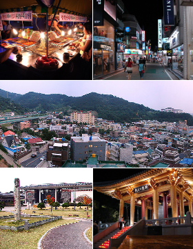
Gwangju
Total population
1,460,745
Founded
1986
Demographic figures from Statistics Korea (KOSTAT). Overview below cites Wikipedia and may reference a different year.
City facts
Sister cities
Facts from Wikidata (CC0).
Overview
Gwangju, formerly romanized as Kwangju, is South Korea's sixth-largest metropolis. It is a designated metropolitan city under the direct control of the central government's Home Minister. The city was also the capital of South Jeolla Province until its promotion to a metropolitan city in 2005, upon which the provincial office moved to the southern village of Namak in Muan County.
Read more on WikipediaHistory & geography
History
The city was established in 57 BC. It was one of the administrative centers of Baekje during the Three Kingdoms period. During the Imperial Japanese rule, the city was known as Kōshū. In 1929, a confrontation between Korean and Japanese students in the city turned into the Gwangju Student Independence Movement, a regional demonstration that culminated in one of the major nationwide uprisings against Imperial Japanese cruelty during the colonial period. Modern industry was established in Gwangju, and a railway to Seoul was constructed. Some industries that took hold include cotton textiles, rice mills, and breweries. The construction of a designated industrial zone in 1967 encouraged growth in industry, especially in the sectors linked to the automobile industry. In May 1980, peaceful demonstrations took place in Gwangju against Chun Doo-hwan, leader of the military coup d'état of 12 December 1979. The demonstrations were suppressed by military forces, including elite units of the Special Operations Command. The situation escalated after a violent crackdown, resulting in the Gwangju Uprising, where civilians raided armories and armed themselves. By the time the uprising was suppressed 9 days later, many hundreds of civilians and several police forces/soldiers were dead. After civilian rule was reinstated in 1987, a national cemetery was established to honor the victims of the incident. In 1986, Gwangju separated from South Jeolla Province to become a Directly Governed City (Jikhalsi), and then became a Metropolitan City (Gwangyeoksi) in 1995. Due to a variety of factors, including the ancient rivalry between Baekje and Silla, as well as the biased priority given to the Gyeongsang Province region by political leaders in the 2nd half of the 20th century, Gwangju has…
Excerpted from the corresponding Wikipedia article (CC BY-SA).
Geography
Coordinates & boundaries from the US Census TIGER/Line shapefiles.
Climate
10-year averages from ERA5 reanalysis (Open-Meteo).
Air quality
Walkability
Amenities nearby
Wildlife & biodiversity
Earthquake history
Photos
Sights & places nearby
Notable people from here
Nearby places in Gwangju
- Bắc An Bình1751.9 mi away
- Đồng Hộ An Hải1752.5 mi away
- Đông An Hải1752.5 mi away
- Tây An Hải1753.4 mi away
- Lý Sơn Special Administrative Region1753.5 mi away
- Đông An Vĩnh1753.6 mi away
- Tây An Vĩnh1753.7 mi away
- Thuận Phước1766.1 mi away
- Bình Hải1766.3 mi away
- Bình Trị1766.4 mi away
- Bình Phước1768.9 mi away
- Bình Châu1769.3 mi away
Geography & sun
Elevation, sunrise/sunset and daylight from Open-Meteo. Solar climatology from NASA POWER.
Nearby airports
Public attention
Pageview totals from the Wikimedia Pageviews API.
Books about Gwangju
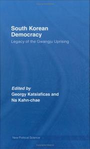

Search results from Open Library.
Recent natural events nearby
Ground air-quality sensors
Recently spotted species

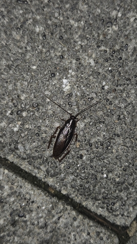
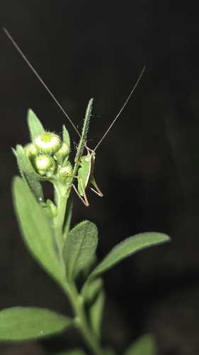
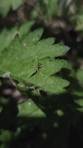
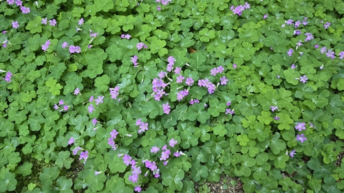
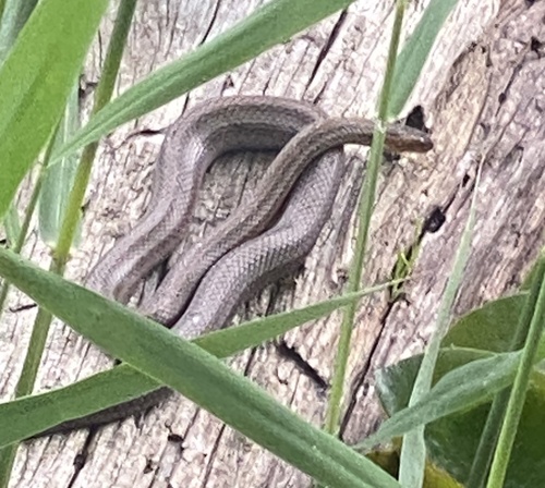
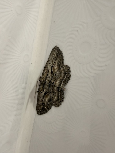
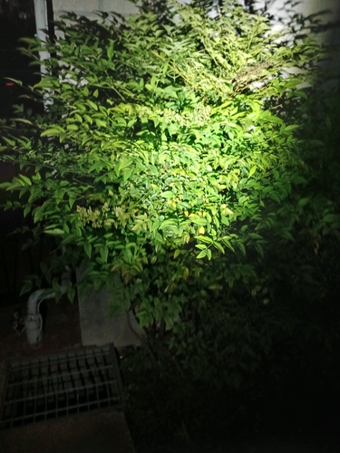
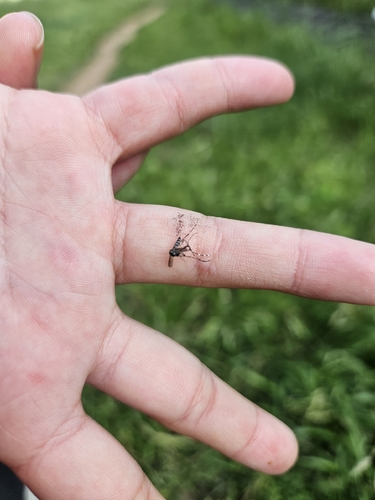
Research-grade observations from iNaturalist (within ~15 mi).
Events
Notable, recurring, and historical events associated with Gwangju, sourced from Wikidata.
- water polo at the 2019 World Aquatics Championships – men's tournamentJan 1, 2019sporting event
men's water polo tournament
- Jan 1, 2019
- Jan 1, 2019
- water polo at the 2015 Summer Universiade – men's tournamentJan 1, 2015sporting event
men's water polo tournament
- Jan 1, 2015
- swimming at the 2019 World Aquatics Championships – men's 4 × 200 metre freestyle relaysporting event
international Event
Source: Wikidata (CC0).
Gallery
Geotagged photos within ~6 miles of Gwangju, from Wikimedia Commons contributors.
 0.1 mi
 0.3 mi
 0.4 mi
 0.4 mi
 0.4 mi
 0.4 mi
 0.4 mi
 0.4 mi
 0.4 mi
 0.4 mi
 0.5 mi
 0.5 mi
 0.5 mi
 0.6 mi
 0.6 mi
 0.6 mi
 0.7 mi
 0.7 mi
 0.7 mi
 0.7 mi
 0.7 mi
 0.8 mi
 0.8 mi
 0.8 mi
Photos via Wikimedia Commons — see each image page for license & attribution.
Sources
- • Wikipedia
- • Open-Meteo (ERA5 reanalysis)
- • Wikimedia Commons
- • Wikidata
- • iNaturalist
- • Open-Elevation
- • Open-Meteo / sunrise-sunset.org
- • Wikipedia Pageviews API
- • Open Library