Browse / South Korea / Gyeonggi / Yongin
Yongin
Gyeonggicity

Yongin
Total population
1,004,081
Demographic figures from Statistics Korea (KOSTAT). Overview below cites Wikipedia and may reference a different year.
City facts
Sister cities
Facts from Wikidata (CC0).
Overview
Yongin is a city in the Seoul Metropolitan Area, the largest in Gyeonggi Province, South Korea. With a population over 1 million, the city has developed rapidly since the 21st century, recording the highest population growth of any city in the country. Yongin is a multi-nuclear city with multiple urban centers, not a single nuclear structure, and Giheung District crosses the Yeongdong Expressway and Dongbaek, while Suji District crosses Pungdeokcheon Stream and Jukjeon.
Read more on WikipediaHistory & geography
History
Although there is evidence of human settlement here as far back as the fifth century, Yongin was granted city status only in March 1996. * In 1979, Yongin-myeon was promoted to Yongin-eup under Presidential Decree No. 9409. In 1983, under Presidential Decree No. 11027, Yeosunae and Gasancheon basins of Jinae-myeon, which were merged into Suji-myeon during the Japanese colonial period, Iui-ri and Hari were incorporated into Suwon City, and Jinmok-ri and Bongmyeong-ri, part of Jinwicheon basin of Namsamyeon, were incorporated into Pyeongtaek City. In 1985, Giheung-myeon was promoted to Giheung-eup under Presidential Decree No. 11772. In 1995, 660,000 m2 of Yeongdeok-ri, Giheung-eup, were incorporated into Suwon City.
Geography
Yongin has an inland location in the southern part of Gyeonggi province. Yongin has a humid continental climate (Köppen: Dwa) due to its inland location. The average yearly temperature is 11.6 °C, the average temperature in January is -3.1 °C, the average temperature in August is 25.1 °C, and the average yearly precipitation is 1,300mm.
Excerpted from the corresponding Wikipedia article (CC BY-SA).
Geography
Coordinates & boundaries from the US Census TIGER/Line shapefiles.
Climate
10-year averages from ERA5 reanalysis (Open-Meteo).
Air quality
Walkability
Amenities nearby
Wildlife & biodiversity
Most-observed species
- Chinese Water DeerHydropotes inermis Swinhoe, 1870 · Mammalia1,888
- Oriental MagpiePica serica Gould, 1845 · Aves1,852
- Brown-eared BulbulHypsipetes amaurotis (Temminck, 1830) · Aves1,458
- Eurasian Tree SparrowPasser montanus (Linnaeus, 1758) · Aves1,270
- Eastern Spot-billed DuckAnas zonorhyncha Swinhoe, 1866 · Aves1,111
- Oriental Turtle-DoveStreptopelia orientalis (Latham, 1790) · Aves1,079
- Large-billed CrowCorvus macrorhynchos Wagler, 1827 · Aves1,041
- Cinereous TitParus cinereus Vieillot, 1818 · Aves985
Citizen-science & research observations from the Global Biodiversity Information Facility (GBIF).
Earthquake history
Photos
Sights & places nearby
Notable people from here
Nearby places in Gyeonggi
- Suwon8.4 mi away · pop. 1,203,000
- Osan8.4 mi away · pop. 193,892
- Yangchon-ri9.2 mi away
- Deokpyeong-ri10.2 mi away
- Yongsu-ri11.2 mi away
- Seongnam12.7 mi away · pop. 967,510
- Dopyeong-ri12.8 mi away
- Uiwang13.6 mi away · pop. 156,763
- Icheon14.8 mi away · pop. 213,059
- Deogu-ri14.9 mi away
- Songna-ri15.2 mi away
- Gunpo15.8 mi away · pop. 275,571
Geography & sun
Elevation, sunrise/sunset and daylight from Open-Meteo. Solar climatology from NASA POWER.
Nearby airports
Public attention
Books about Yongin
Search results from Open Library.
Recent natural events nearby
Ground air-quality sensors
Recently spotted species
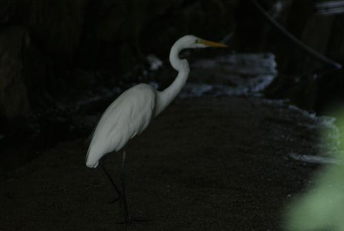
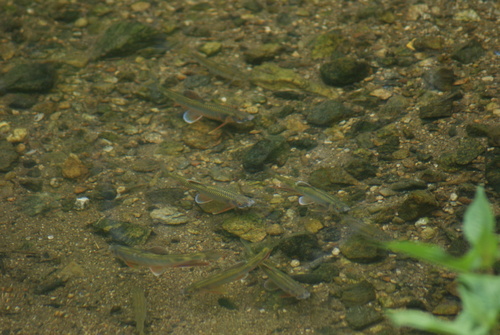
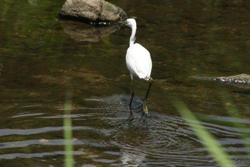

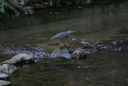
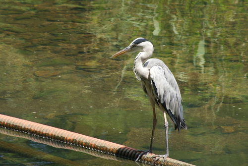
Research-grade observations from iNaturalist (within ~15 mi).
Events
Gallery
Sources
- • Wikipedia
- • Open-Meteo (ERA5 reanalysis)
- • Wikidata
- • GBIF (Global Biodiversity Information Facility)
- • iNaturalist
- • Open-Meteo / sunrise-sunset.org
- • Open Library