Browse / United States / Kansas / Arkansas City
Arkansas City
Kansascity

Arkansas City
Total population
11,884
Median home value
$86,800
Bachelor's+
Median income
$49,629
Founded
1870
Demographic figures from US Census Bureau · ACS 5-year estimates. Overview below cites Wikipedia and may reference a different year.
City facts
Facts from Wikidata (CC0).
Overview
Arkansas City is a city in Cowley County, Kansas, United States, situated at the confluence of the Arkansas and Walnut rivers in the southwestern part of the county. As of the 2020 census, the population of the city was 11,974.
Read more on WikipediaHistory & geography
History
Present-day Arkansas City sits on the site of an ancestral Wichita city, Etzanoa, which flourished from 1450 to 1700 and had an estimated population of 20,000. In 1601, New Mexico Governor Juan de Oñate led an expedition across the Great Plains and found a large settlement of Indians he called Rayados. They lived along the Walnut River in the eastern part of Arkansas City. Extensive remains of Indian settlements have been found along of the Walnut River. The Rayados were the ancestors of the Indians later called Wichita. Wichita settlements from the 18th century are also found a few miles south of Arkansas City on the west bank of the Arkansas River. European-American settlers first congregated in the area where Arkansas City now stands in the 1860s. Settlers established a town in 1870. They had difficulty choosing a name; early names included Adelphia, Creswell, and Walnut City before the present name was chosen. The first post office in Arkansas City was established on May 16, 1870. In 1877, the Florence, El Dorado, and Walnut Valley Railroad Company built a branch line from Florence to El Dorado, in 1881 it was extended to Douglass, and later to Arkansas City. The line was leased and operated by the Atchison, Topeka and Santa Fe Railway. The line from Florence to El Dorado was abandoned in 1942. The original branch line connected Florence, Burns, De Graff, El Dorado, Augusta, Douglass, Rock, Akron, Winfield, and Arkansas City. Arkansas City grew steadily through the latter part of the 19th century, and enjoyed a population explosion starting in 1891, when thousands of people moved into the area in anticipation of the Cherokee Strip Land Run. At the turn of the century, Arkansas City was a rival to Wichita in size and enterprise, boasting several busy rail…
Geography
Arkansas City is situated along the northern bank of the Arkansas River and to the west of its confluence with the Walnut River. It is located at the junction of US-77 and US-166, only north of the Kansas-Oklahoma border. Winfield, the county seat, is north of Arkansas City along US-77, and Strother Field, a general aviation airport, is approximately north. Arkansas City is located southeast of Wichita. According to the United States Census Bureau, the city has a total area of , of which is land and is water. The climate in this area is characterized by hot, humid summers and generally mild to cool winters. According to the Köppen Climate Classification system, Arkansas City has a humid subtropical climate, abbreviated "Cfa" on climate maps.
Excerpted from the corresponding Wikipedia article (CC BY-SA).
Demographics & economy
Race & ethnicity
Source: US Census Bureau — American Community Survey, 5-year estimates.
Geography
Coordinates & boundaries from the US Census TIGER/Line shapefiles.
Climate
Current forecast
Forecast for Arkansas City, KS from NOAA NWS API.
Air quality
Industrial & pollution facilities
Natural hazard risk
Health (adults)
Walkability
Amenities nearby
Wildlife & biodiversity
Most-observed species
- Northern CardinalCardinalis cardinalis (Linnaeus, 1758) · Aves937
- American CrowCorvus brachyrhynchos C.L.Brehm, 1822 · Aves782
- Mourning DoveZenaida macroura (Linnaeus, 1758) · Aves702
- Red-bellied WoodpeckerMelanerpes carolinus (Linnaeus, 1758) · Aves681
- Carolina ChickadeePoecile carolinensis (Audubon, 1834) · Aves598
- Red-tailed HawkButeo jamaicensis (Gmelin, 1788) · Aves584
- Tufted TitmouseBaeolophus bicolor (Linnaeus, 1766) · Aves566
- Turkey VultureCathartes aura (Linnaeus, 1758) · Aves561
Citizen-science & research observations from the Global Biodiversity Information Facility (GBIF).
Schools
Earthquake history
Most recent
- M 2.72 — 2026-06-037 km S of Perry, Oklahoma
- M 2.9 — 2026-05-2210 km N of Stillwater, Oklahoma
- M 2.5 — 2025-12-265 km SSW of Peru, Kansas
- M 2.6 — 2025-11-305 km WSW of Danville, Kansas
- M 2.66 — 2025-10-044 km W of Lucien, Oklahoma
- M 3.36 — 2025-06-264 km SE of Braman, Oklahoma
Events from the USGS Earthquake Catalog (global) (FDSN Event Web Service).
Photos
Sights & places nearby
Notable people from here


People born within ~10 km, from Wikidata (CC0). Click any name for their Wikipedia article.
Nearby places in Kansas
- Winfield12.2 mi away
- Oxford15.7 mi away · pop. 964
- Hunnewell20.9 mi away
- Wellington24.8 mi away
- Cambridge26.5 mi away · pop. 69
- Derby35.7 mi away · pop. 25,625
- Milan37.3 mi away
- Grenola37.7 mi away
- Oaklawn-Sunview39.7 mi away
- McConnell AFB40.7 mi away · pop. 1,907
- Elgin42.1 mi away · pop. 72
- Andover42.8 mi away · pop. 15,965
Geography & sun
Elevation, sunrise/sunset and daylight from Open-Meteo. Solar climatology from NASA POWER.
Nearby airports
Public attention
Pageview totals from the Wikimedia Pageviews API.
Books about Arkansas City


Search results from Open Library.
Recent natural events nearby
- Wildfire B.B, Osage, OklahomaWildfires · 2026-08-06 · 34 mi
- Wildfire BISON, Osage, OklahomaWildfires · 2026-08-21 · 41 mi
- Wildfire Burnt Canyon, Woodward, OklahomaWildfires · 2026-08-15 · 128 mi
- Wildfire GRACEMONT, Caddo, OklahomaWildfires · 2026-09-13 · 138 mi
- Wildfire WRIGHT, Hughes, OklahomaWildfires · 2026-08-29 · 138 mi
- Wildfire Semi 270, Woodward, OklahomaWildfires · 2026-08-01 · 142 mi
- Wildfire 2690, Caddo, OklahomaWildfires · 2026-08-21 · 147 mi
- Wildfire Calvary Creek, Washita, OklahomaWildfires · 2026-09-15 · 171 mi
Wildfires, storms and other events from NASA EONET (last 12 months, within 250 mi).
Ground air-quality sensors
Recently spotted species
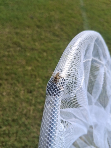
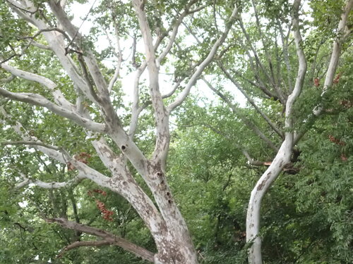
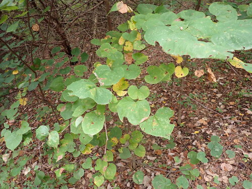
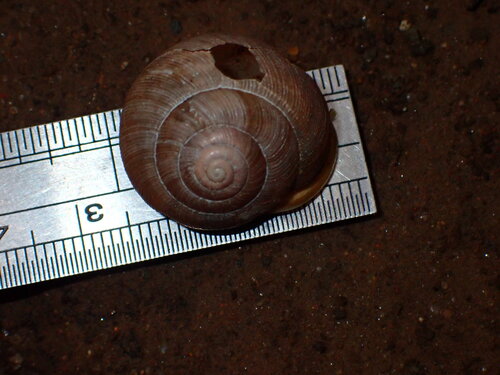
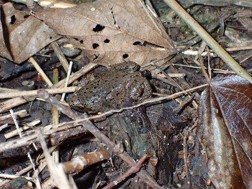
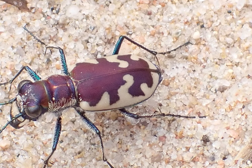
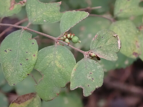
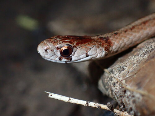
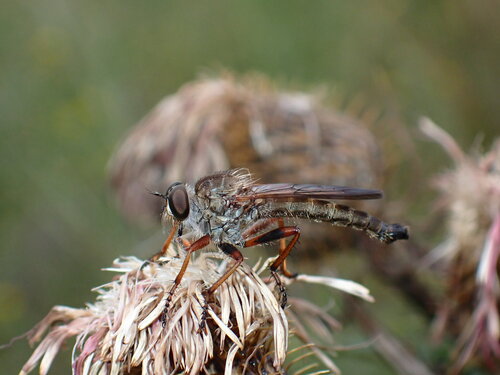
Research-grade observations from iNaturalist (within ~15 mi).
Nearest stream gauge
Events
Gallery
Sources
- • Wikipedia
- • US Census Bureau (ACS 5-year estimates)
- • NOAA National Weather Service
- • Wikidata
- • USGS Earthquake Catalog (global feed)
- • GBIF (Global Biodiversity Information Facility)
- • iNaturalist
- • Open-Meteo / sunrise-sunset.org
- • Wikipedia Pageviews API
- • Open Library
- • NASA EONET