Browse / United States / Kansas / Burns
Burns
Kansascity

Burns
Total population
297
Median home value
$57,400
Bachelor's+
Median income
$42,292
Founded
1880
Air quality index
Demographic figures from US Census Bureau · ACS 5-year estimates. Overview below cites Wikipedia and may reference a different year.
- Severe Thunderstorm Watch · SevereSevere Thunderstorm Watch issued September 19 at 3:22PM CDT until September 19 at 11:00PM CDT by NWS Wichita KS
Source: NOAA National Weather Service.
City facts
Facts from Wikidata (CC0).
Overview
Burns is a city in Marion County, Kansas, United States. As of the 2020 census, the population of the city was 234. The city name came from a nearby train station, which was named prior to the city being incorporated. It is located between El Dorado and Florence along the west side of U.S. Route 77 highway. The southern edge of the city is the border between Marion and Butler counties.
Read more on WikipediaHistory & geography
History
For many millennia, the Great Plains of North America was inhabited by nomadic Native Americans. From the 16th century to 18th century, the Kingdom of France claimed ownership of large parts of North America. In 1762, after the French and Indian War, France secretly ceded New France to Spain, per the Treaty of Fontainebleau. In 1802, Spain returned most of the land to France. In 1803, most of the land for modern day Kansas was acquired by the United States from France as part of the 828,000 square mile Louisiana Purchase for 2.83 cents per acre. In 1854, the Kansas Territory was organized, then in 1861 Kansas became the 34th U.S. state. In 1855, Marion County was established within the Kansas Territory, which included the land for modern day Burns. In 1877, the Florence, El Dorado, and Walnut Valley Railroad Company built a branch line from Florence to El Dorado, and a station called Burns was built north of the present city location. In 1881, the rail line was extended to Douglass, then later to Arkansas City. The line was leased and operated by the Atchison, Topeka and Santa Fe Railway. The line from Florence through Burns to El Dorado was abandoned in 1942. The original branch line connected Florence through El Dorado to Arkansas City. At the present location, a city named St. Francis was platted in August 1880. When the town incorporated, they discovered the official city name of St. Francis was already taken, so they changed the name to be the same as the nearby Burns train station, then soon afterward the station was moved into the new city. The original station was named after a railroad company official. Burns High School was closed in 1965 as a result of statewide school district consolidation. Burns Elementary & Junior High School closed in 1997…
Geography
Burns is located in the scenic Flint Hills and Great Plains of the state of Kansas. The southern city boundary of Burns is the county line shared between Marion and Butler counties. The climate in this area is characterized by hot, humid summers and generally mild to cool winters. According to the Köppen Climate Classification system, Burns has a humid subtropical climate, abbreviated "Cfa" on climate maps.
Excerpted from the corresponding Wikipedia article (CC BY-SA).
Demographics & economy
Race & ethnicity
Source: US Census Bureau — American Community Survey, 5-year estimates.
Geography
Coordinates & boundaries from the US Census TIGER/Line shapefiles.
Climate
10-year averages from ERA5 reanalysis (Open-Meteo).
Current forecast
Forecast for Burns, KS from NOAA NWS API.
Air quality
Current readings from Open-Meteo Air Quality API (Copernicus CAMS European reanalysis).
Industrial & pollution facilities
Natural hazard risk
Health (adults)
Age-adjusted prevalence estimates from CDC PLACES (latest release).
Walkability
Amenities nearby
Wildlife & biodiversity
Most-observed species
- American CrowCorvus brachyrhynchos C.L.Brehm, 1822 · Aves166
- Mourning DoveZenaida macroura (Linnaeus, 1758) · Aves151
- Northern CardinalCardinalis cardinalis (Linnaeus, 1758) · Aves150
- Eastern MeadowlarkSturnella magna (Linnaeus, 1758) · Aves135
- Red-tailed HawkButeo jamaicensis (Gmelin, 1788) · Aves128
- Red-winged BlackbirdAgelaius phoeniceus (Linnaeus, 1766) · Aves117
- Turkey VultureCathartes aura (Linnaeus, 1758) · Aves109
- Hen HarrierCircus cyaneus (Linnaeus, 1766) · Aves108
Citizen-science & research observations from the Global Biodiversity Information Facility (GBIF).
Schools
Earthquake history
Photos
Sights & places nearby
Notable people from here
Nearby places in Kansas
Geography & sun
Elevation, sunrise/sunset and daylight from Open-Meteo. Solar climatology from NASA POWER.
Nearby airports
Public attention
Pageview totals from the Wikimedia Pageviews API.
Books about Burns

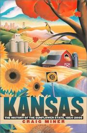


Search results from Open Library.
Recent natural events nearby
- Wildfire B.B, Osage, OklahomaWildfires · 2026-08-06 · 85 mi
- Wildfire BISON, Osage, OklahomaWildfires · 2026-08-21 · 89 mi
- Wildfire Burnt Canyon, Woodward, OklahomaWildfires · 2026-08-15 · 167 mi
- Wildfire Semi 270, Woodward, OklahomaWildfires · 2026-08-01 · 181 mi
- Wildfire WRIGHT, Hughes, OklahomaWildfires · 2026-08-29 · 203 mi
- Wildfire GRACEMONT, Caddo, OklahomaWildfires · 2026-09-13 · 205 mi
- Wildfire 2690, Caddo, OklahomaWildfires · 2026-08-21 · 215 mi
- Wildfire Black Kettle, Roger Mills, OklahomaWildfires · 2026-09-14 · 222 mi
Wildfires, storms and other events from NASA EONET (last 12 months, within 250 mi).
Ground air-quality sensors
Recently spotted species
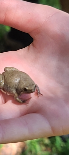
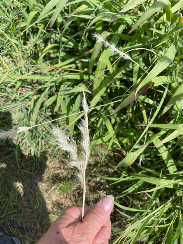
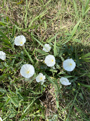
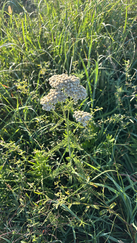
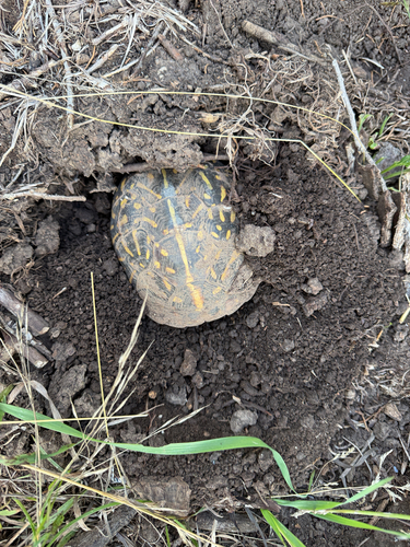
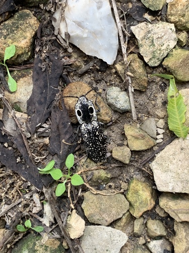
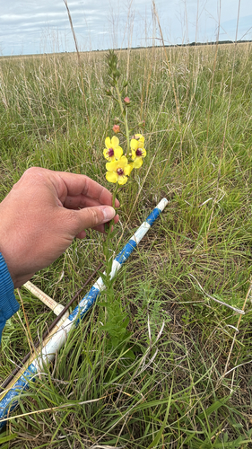
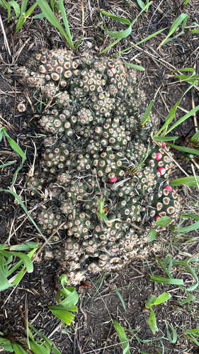
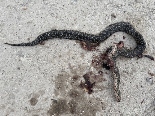
Research-grade observations from iNaturalist (within ~15 mi).
Nearest stream gauge
Live readings from USGS NWIS · measured 2026-09-20 20:15 UTC.
Events
Gallery
Sources
- • Wikipedia
- • US Census Bureau (ACS 5-year estimates)
- • Open-Meteo (ERA5 reanalysis)
- • NOAA National Weather Service
- • Wikidata
- • Open-Meteo Air Quality (CAMS)
- • USGS NWIS (water data)
- • GBIF (Global Biodiversity Information Facility)
- • iNaturalist
- • CDC PLACES
- • Open-Meteo / sunrise-sunset.org
- • Wikipedia Pageviews API
- • Open Library
- • NASA EONET