Browse / United States / Kansas / Culver
Culver
Kansascity

Culver
Total population
83
Median home value
$0
Bachelor's+
Median income
$0
Demographic figures from US Census Bureau · ACS 5-year estimates. Overview below cites Wikipedia and may reference a different year.
City facts
Overview
Culver is a city in Ottawa County, Kansas, United States. As of the 2020 census, the population of the city was 114. It is located northwest of Salina at the intersection of 90th Road and Aspen Road, next to an abandoned railroad.
Read more on WikipediaHistory & geography
History
Culver was laid out circa 1878. It was named after George Washington Culver, who was living in Ottawa County in August 1868 when he was recruited to be a scout for Col. George Forsyth, following the first Spillman-Bacon Creek Indian raid. At daybreak on September 17, 1868, Forsyth's band of 50 civilian scouts was attacked by approximately 1,000 of Roman Nose's dog soldier warriors in northeastern Colorado Territory. This was known as Beecher Island. They took cover on a small sandy island in the middle of the Arickaree fork of the Republican River, about 17 miles south of present-day Wray, Colorado. The next three days were spent fighting and by the time the fighting ended, the scouts were out of rations and living on horse and mule meat. About half of the scouts were wounded at the outbreak of the fighting. Culver was one of five scouts killed or mortally wounded. Culver was buried at the battleground, later moved to Fort Wallace Cemetery and eventually to Fort Leavenworth National Cemetery. Before Beecher Island, during the Civil War he served as 2nd Lt, Co E, Second Colorado Cavalry. Following the Civil War, he worked for a time as a watchmaker in Junction City, Kansas, and shortly before his death was elected to public office in Ottawa County. The town and township of Culver were named in honor of him. A post office was opened at Culver in 1873 and remained in operation until it was discontinued in 1984.
Geography
According to the United States Census Bureau, the city has a total area of , all land.
Excerpted from the corresponding Wikipedia article (CC BY-SA).
Demographics & economy
Race & ethnicity
Source: US Census Bureau — American Community Survey, 5-year estimates.
Geography
Coordinates & boundaries from the US Census TIGER/Line shapefiles.
Climate
Current forecast
Forecast for Culver, KS from NOAA NWS API.
Air quality
Industrial & pollution facilities
Natural hazard risk
Health (adults)
Age-adjusted prevalence estimates from CDC PLACES (latest release).
Walkability
Amenities nearby
Wildlife & biodiversity
Schools
Largest nearby schools
- Bennington ElemElementary · Bennington · 236 students · 14.8:1 ratio
- Bennington Junior High/High SchoolHigh · Bennington · 205 students · 13.7:1 ratio
- Tescott ElemElementary · Tescott · 95 students · 13.6:1 ratio
- Tescott Junior High/High SchoolHigh · Tescott · 70 students · 8.8:1 ratio
Public K–12 schools within ~10 mi from Urban Institute Education Data Portal (NCES Common Core of Data, 2022).
Earthquake history
Photos
Sights & places nearby
Notable people from here
Nearby places in Kansas
Geography & sun
Elevation, sunrise/sunset and daylight from Open-Meteo. Solar climatology from NASA POWER.
Nearby airports
Public attention
Pageview totals from the Wikimedia Pageviews API.
Books about Culver
Search results from Open Library.
Recent natural events nearby
- Wildfire B.B, Osage, OklahomaWildfires · 2026-08-06 · 159 mi
- Wildfire BISON, Osage, OklahomaWildfires · 2026-08-21 · 164 mi
- Wildfire Burnt Canyon, Woodward, OklahomaWildfires · 2026-08-15 · 184 mi
- Wildfire Semi 270, Woodward, OklahomaWildfires · 2026-08-01 · 195 mi
- Wildfire Black Kettle, Roger Mills, OklahomaWildfires · 2026-09-14 · 245 mi
Wildfires, storms and other events from NASA EONET (last 12 months, within 250 mi).
Ground air-quality sensors
Recently spotted species
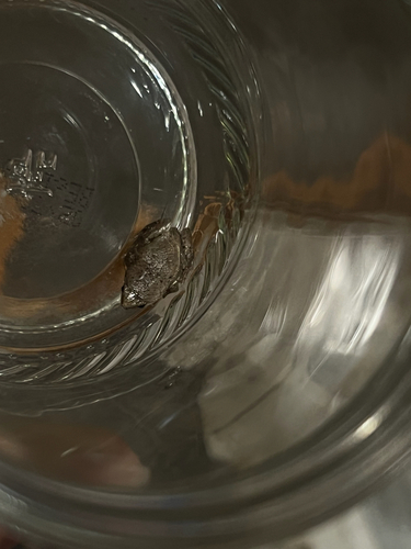
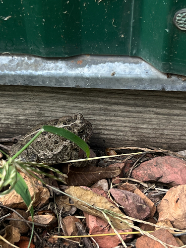
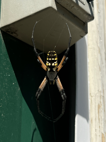
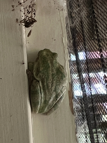
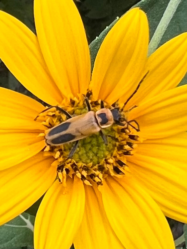
Research-grade observations from iNaturalist (within ~15 mi).
Nearest stream gauge
Events
Gallery
Sources
- • Wikipedia
- • US Census Bureau (ACS 5-year estimates)
- • NOAA National Weather Service
- • Wikidata
- • NCES via Urban Institute Education Data Portal
- • iNaturalist
- • CDC PLACES
- • Open-Meteo / sunrise-sunset.org
- • Wikipedia Pageviews API
- • Open Library
- • NASA EONET