Browse / United States / Kansas / Fort Scott
Fort Scott
Kansascity

Fort Scott
Total population
7,555
Median home value
$100,500
Bachelor's+
Median income
$52,159
Demographic figures from US Census Bureau · ACS 5-year estimates. Overview below cites Wikipedia and may reference a different year.
City facts
Facts from Wikidata (CC0).
Overview
Fort Scott is a city in and the county seat of Bourbon County, Kansas, United States. As of the 2020 census, the population of the city was 7,552. It is named for Gen. Winfield Scott. The city is located 88 miles (142 km) south of Kansas City on the Marmaton River. It is the home of the Fort Scott National Historic Site and the Fort Scott National Cemetery.
Read more on WikipediaHistory & geography
History
Established and garrisoned by the U.S. Army from 1842 to 1853, soldiers at military Fort Scott assisted with the protection of the Permanent Indian Frontier. After the army abandoned the fort in 1853, the buildings were purchased by local settlers at a government auction in 1855. The community of Fort Scott was laid out in 1857, and was chartered as a city in 1860. Between 1855 and 1861, the citizens of Fort Scott experienced the violent unrest that preceded the American Civil War on the Kansas and Missouri border. Eastern newspapers described this violence as "Bleeding Kansas", a result of the national controversy concerning the extension of slavery into the new territories. On January 29, 1861, Kansas entered the union as a free state, but the turmoil of "Bleeding Kansas" continued throughout the Civil War. During the Civil War, Fort Scott was a U.S. Army district Headquarters, quartermaster supply depot, training center, and recruitment station. It was strategically vital to the defense of Kansas and the Midwest. A battle over the fort occurred in August 1861 just across the Missouri line in the Battle of Dry Wood Creek. The battle was a pro-South victory for Sterling Price and his Missouri State Guard. Price did not hold the fort and instead continued a northern push into Missouri in an attempt to recapture the state. Senator James H. Lane was to launch a Jayhawker offensive behind Price from Fort Scott that led to the Sacking of Osceola. The ill will of these actions was to be the basis for the 1976 Clint Eastwood film The Outlaw Josey Wales. After the Civil War, Fort Scott was a premier city of the frontier, one of the largest cities in eastern Kansas. On three occasions, between 1870 and 1900, Fort Scott was in competition with Kansas City to become the…
Geography
Fort Scott lies on the Osage Plains on the south side of the Marmaton River. Located at the intersection of U.S. Routes 54 and 69 in southeastern Kansas, Fort Scott is approximately north of Joplin, Missouri, south of Kansas City and east of Wichita. According to the United States Census Bureau, the city has a total area of , of which is land and is water. Fort Scott has a humid subtropical climate (Köppen Cfa) with hot, humid summers and cool winters. The average temperature in Fort Scott is with temperatures exceeding on an average of 52.6 afternoons a year and dropping below during an average of 100.6 mornings per year. }}
Excerpted from the corresponding Wikipedia article (CC BY-SA).
Demographics & economy
Race & ethnicity
Source: US Census Bureau — American Community Survey, 5-year estimates.
Geography
Coordinates & boundaries from the US Census TIGER/Line shapefiles.
Climate
Current forecast
Forecast for Fort Scott, KS from NOAA NWS API.
Air quality
Industrial & pollution facilities
Natural hazard risk
Health (adults)
Age-adjusted prevalence estimates from CDC PLACES (latest release).
Walkability
Amenities nearby
Wildlife & biodiversity
Schools
Largest nearby schools
- Fort Scott Sr HighHigh · Fort Scott · 581 students · 13.5:1 ratio
- Winfield Scott ElemElementary · Fort Scott · 469 students · 13:1 ratio
- Fort Scott Middle SchoolMiddle · Fort Scott · 430 students · 11.3:1 ratio
- Eugene Ware ElemElementary · Fort Scott · 359 students · 11.2:1 ratio
Public K–12 schools within ~10 mi from Urban Institute Education Data Portal (NCES Common Core of Data, 2022).
Earthquake history
Photos
Sights & places nearby
Notable people from here


People born within ~10 km, from Wikidata (CC0). Click any name for their Wikipedia article.
Nearby places in Kansas
- Garland8 mi away
- Devon8.9 mi away · pop. 73
- Arcadia13.6 mi away · pop. 248
- Uniontown14.9 mi away · pop. 467
- Farlington16.1 mi away · pop. 61
- Mapleton16.3 mi away
- Prescott16.3 mi away · pop. 276
- Hepler18.4 mi away · pop. 120
- Mulberry19.3 mi away
- Bronson20.7 mi away · pop. 537
- Girard23.4 mi away
- Yale23.6 mi away
Geography & sun
Nearby airports
Public attention
Books about this place
Recent natural events nearby
- Wildfire BISON, Osage, OklahomaWildfires · 2026-08-21 · 111 mi
- Wildfire B.B, Osage, OklahomaWildfires · 2026-08-06 · 116 mi
- Wildfire WRIGHT, Hughes, OklahomaWildfires · 2026-08-29 · 196 mi
- Wildfire Snake Mountain, Pushmataha, OklahomaWildfires · 2026-08-14 · 233 mi
- Wildfire Alexander Trail Fire, Pushmataha, OklahomaWildfires · 2026-08-30 · 234 mi
- Wildfire Alexander Trail, Pushmataha, OklahomaWildfires · 2026-08-30 · 234 mi
- Wildfire Buck Creek, Pushmataha, OklahomaWildfires · 2026-08-25 · 237 mi
- Wildfire Tram Trail, Pushmataha, OklahomaWildfires · 2026-09-14 · 248 mi
Wildfires, storms and other events from NASA EONET (last 12 months, within 250 mi).
Ground air-quality sensors
Recently spotted species
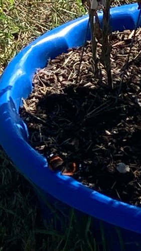

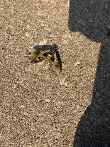
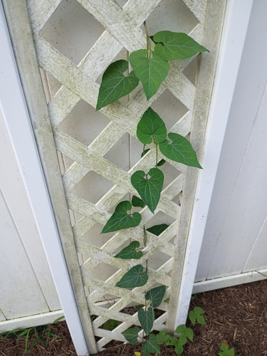

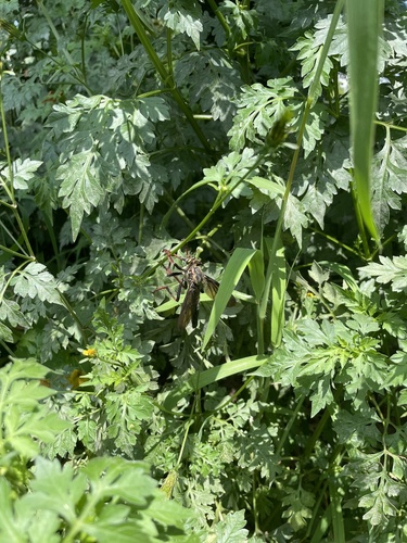
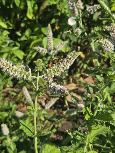
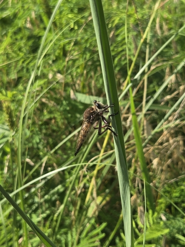

Research-grade observations from iNaturalist (within ~15 mi).
Nearest stream gauge
Events
Gallery
Sources
- • Wikipedia
- • US Census Bureau (ACS 5-year estimates)
- • NOAA National Weather Service
- • Wikidata
- • NCES via Urban Institute Education Data Portal
- • iNaturalist
- • CDC PLACES
- • NASA EONET