Browse / United States / Kansas / Greeley
Greeley
Kansascity

Greeley
Total population
243
Median home value
$90,400
Bachelor's+
Median income
$33,056
Demographic figures from US Census Bureau · ACS 5-year estimates. Overview below cites Wikipedia and may reference a different year.
City facts
Facts from Wikidata (CC0).
Overview
Greeley is a city in Walker Township, Anderson County, Kansas, United States. As of the 2020 census, the population of the city was 273.
Read more on WikipediaHistory & geography
History
Nomadic Native Americans, perhaps the Wichita as early as the 1400s and the Osage by the 1700s, would have been present in the area for many centuries. The Trail of Death relocated the Potawatomie to the area in 1838, and they had established subsistence farming at what would become Greeley prior to the arrival of European-Americans. The first European-American settlement at Greeley was made in May 1854 by Valentine Gerth and Francis Myer. Though the town of Greeley had not yet been established, Myer's cabin served as Anderson County's temporary county seat from August 1855 through the county's first Territorial District Court session in April 1856. At that time the county seat moved to its first "permanent" location at what would become the town of Shannon. Greeley was laid out in December 1856 by several Free Staters and named for Horace Greeley. The post office was established in May 1857, though not without some controversy. Postal officials in the Buchanan Administration apparently objected to naming the office after an abolitionist newspaperman, so instead used the name of Buchannan-appointed Territorial Governor Robert J. Walker. Greeley was incorporated as a city in 1881. In 1901 Arizona cattle baron Colin Cameron established his midwestern operations just east of Greeley. Cameron's Fields of Lochiel ranch served as the finishing operation for his San Rafael Ranch Herefords prior to sale in Kansas City, Missouri.
Geography
Greeley is located in the Pottawatomie Valley near the confluence of the North Fork and South Fork of Pottawatomie Creek. According to the United States Census Bureau, the city has a total area of , of which is land and is water. Several of Greeley's east–west streets are named for Free Staters who were Jayhawkers or were involved in Territorial government during the Bleeding Kansas era. * Cochran Street - Named for Benjamin L. Cochran, a town founder who had been involved in the Wakarusa War, the Battle of Black Jack, and was a member of the Pottawatomie Rifles. * Kaiser Avenue - Named for Charles Kaiser, a Bavarian immigrant who was seriously wounded in the Battle of Osawatomie, taken prisoner, and assassinated by his Border Ruffian captors near Olathe, Kansas. * Brown Avenue - Greeley's primary commercial street, named for John Brown. * Bondi Avenue - Named for August Bondi, a town founder who fought in the Battle of Black Jack and was a member of the Pottawatomie Rifles. * Mitchell Avenue - Named for Robert B. Mitchell, who represented Linn County in the Territorial Legislature and was a delegate to the Leavenworth constitutional convention. The climate in this area is characterized by hot, humid summers and generally mild to cool winters. According to the Köppen Climate Classification system, Greeley has a humid subtropical climate, abbreviated "Cfa" on climate maps.
Excerpted from the corresponding Wikipedia article (CC BY-SA).
Demographics & economy
Race & ethnicity
Source: US Census Bureau — American Community Survey, 5-year estimates.
Geography
Coordinates & boundaries from the US Census TIGER/Line shapefiles.
Climate
Air quality
Industrial & pollution facilities
Natural hazard risk
Health (adults)
Walkability
Amenities nearby
Wildlife & biodiversity
Schools
Earthquake history
Photos
Sights & places nearby
Notable people from here
People born within ~10 km, from Wikidata (CC0). Click any name for their Wikipedia article.
Nearby places in Kansas
- Garnett8.4 mi away · pop. 3,202
- Centerville11.3 mi away
- Osawatomie13.4 mi away · pop. 4,182
- Mont Ida16.6 mi away
- Ottawa17.7 mi away · pop. 12,678
- Harris17.7 mi away · pop. 9
- Kincaid19.9 mi away
- Williamsburg20.1 mi away
- Paola20.5 mi away · pop. 5,770
- Lone Elm20.9 mi away
- Linn Valley22.5 mi away · pop. 962
- Westphalia23.5 mi away
Geography & sun
Elevation, sunrise/sunset and daylight from Open-Meteo. Solar climatology from NASA POWER.
Nearby airports
Public attention
Pageview totals from the Wikimedia Pageviews API.
Books about Greeley
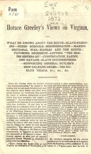
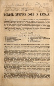
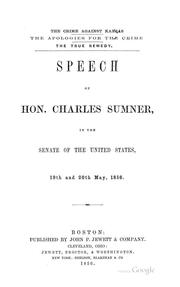
Search results from Open Library.
Recent natural events nearby
- Wildfire BISON, Osage, OklahomaWildfires · 2026-08-21 · 122 mi
- Wildfire B.B, Osage, OklahomaWildfires · 2026-08-06 · 125 mi
- Wildfire WRIGHT, Hughes, OklahomaWildfires · 2026-08-29 · 224 mi
Wildfires, storms and other events from NASA EONET (last 12 months, within 250 mi).
Ground air-quality sensors
Recently spotted species
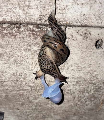
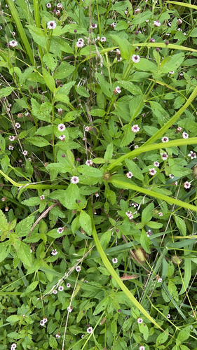
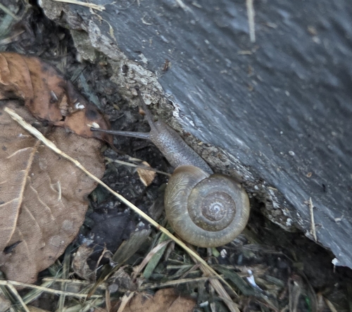
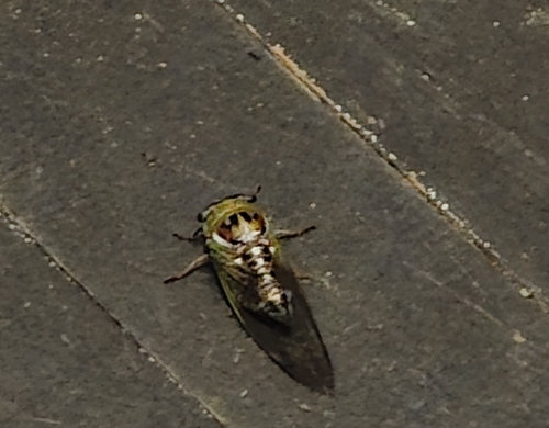
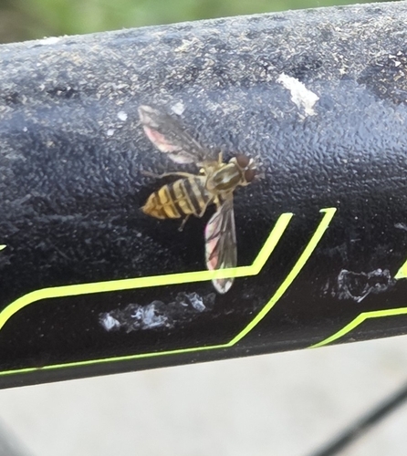
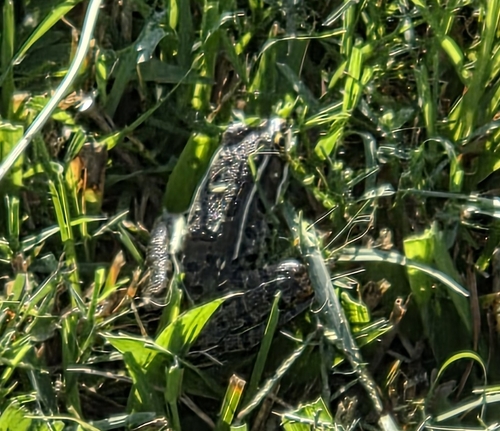
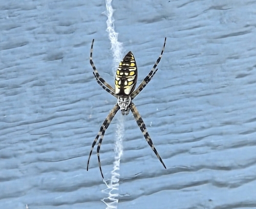
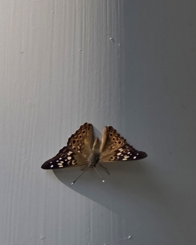
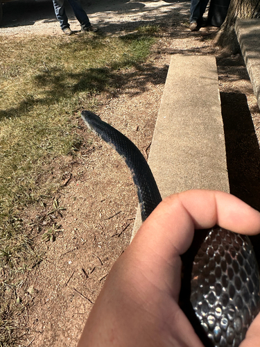
Research-grade observations from iNaturalist (within ~15 mi).
Nearest stream gauge
Events
Gallery
Sources
- • Wikipedia
- • US Census Bureau (ACS 5-year estimates)
- • Wikidata
- • iNaturalist
- • Open-Elevation
- • Open-Meteo / sunrise-sunset.org
- • Wikipedia Pageviews API
- • Open Library
- • NASA EONET