Browse / United States / Kansas / Idana
Idana
KansasCDP

Idana
Total population
33
Median home value
$0
Bachelor's+
Median income
$0
Demographic figures from US Census Bureau · ACS 5-year estimates. Overview below cites Wikipedia and may reference a different year.
City facts
Facts from Wikidata (CC0).
Overview
Idana is a census-designated place (CDP) in Clay County, Kansas, United States. As of the 2020 census, the population was 54. It is located approximately 6.5 miles west of Clay Center, and 1.5 miles south of US Route 24 along 16th Rd.
Read more on WikipediaHistory & geography
History
Idana is combination of the names of two settlers: Ida Howland and Anna Broughton. A post office was opened in Chapmanville (an extinct town) in 1879, but it was moved to Idana in 1882 and remained in operation until it was discontinued in 1980. Idana was located on the Union Pacific Railroad.
Excerpted from the corresponding Wikipedia article (CC BY-SA).
Demographics & economy
Race & ethnicity
Source: US Census Bureau — American Community Survey, 5-year estimates.
Geography
Coordinates & boundaries from the US Census TIGER/Line shapefiles.
Climate
Current forecast
Forecast for Idana, KS from NOAA NWS API.
Air quality
Industrial & pollution facilities
Natural hazard risk
Health (adults)
Walkability
Amenities nearby
Wildlife & biodiversity
Most-observed species
- Northern CardinalCardinalis cardinalis (Linnaeus, 1758) · Aves53
- Blue JayCyanocitta cristata (Linnaeus, 1758) · Aves45
- Red-tailed HawkButeo jamaicensis (Gmelin, 1788) · Aves43
- American RobinTurdus migratorius Linnaeus, 1766 · Aves41
- American CrowCorvus brachyrhynchos C.L.Brehm, 1822 · Aves39
- Mourning DoveZenaida macroura (Linnaeus, 1758) · Aves37
- European StarlingSturnus vulgaris Linnaeus, 1758 · Aves37
- Red-bellied WoodpeckerMelanerpes carolinus (Linnaeus, 1758) · Aves35
Citizen-science & research observations from the Global Biodiversity Information Facility (GBIF).
Schools
Largest nearby schools
- Lincoln ElemElementary · Clay Center · 384 students · 12.8:1 ratio
- Clay Center Community HighHigh · Clay Center · 335 students · 14.6:1 ratio
- Clay Center Community MiddleMiddle · Clay Center · 246 students · 11.7:1 ratio
- Garfield ElemElementary · Clay Center · 151 students · 12.6:1 ratio
- eLearn 379 Virtual SchoolHigh · Clay Center · 6 students
Public K–12 schools within ~10 mi from Urban Institute Education Data Portal (NCES Common Core of Data, 2022).
Earthquake history
Most recent
- M 2.9 — 2026-09-165 km SSW of Assaria, Kansas
- M 2.5 — 2026-07-315 km SW of Hope, Kansas
- M 3.5 — 2026-02-256 km E of Assaria, Kansas
- M 2.6 — 2025-12-136 km NW of Ramona, Kansas
- M 3.7 — 2025-12-0910 km SW of Gypsum, Kansas
- M 2.7 — 2025-10-277 km SE of Enterprise, Kansas
Events from the USGS Earthquake Catalog (global) (FDSN Event Web Service).
Photos
Sights & places nearby
Notable people from here
Nearby places in Kansas
Geography & sun
Elevation, sunrise/sunset and daylight from Open-Meteo. Solar climatology from NASA POWER.
Nearby airports
Public attention
Pageview totals from the Wikimedia Pageviews API.
Books about this place
Recent natural events nearby
- Wildfire B.B, Osage, OklahomaWildfires · 2026-08-06 · 175 mi
- Wildfire BISON, Osage, OklahomaWildfires · 2026-08-21 · 179 mi
- Wildfire Burnt Canyon, Woodward, OklahomaWildfires · 2026-08-15 · 220 mi
- Wildfire Semi 270, Woodward, OklahomaWildfires · 2026-08-01 · 232 mi
Wildfires, storms and other events from NASA EONET (last 12 months, within 250 mi).
Ground air-quality sensors
Recently spotted species
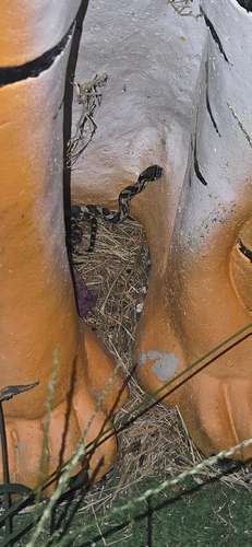
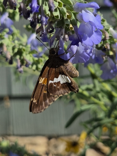
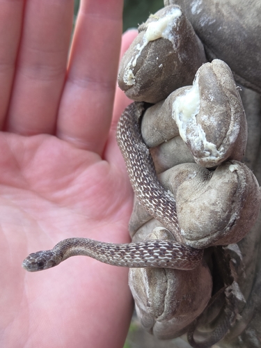
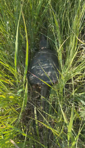
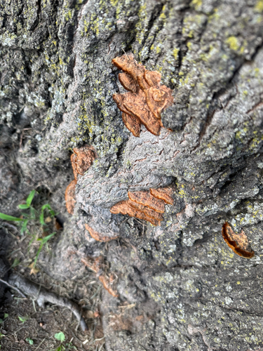
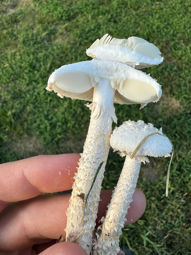
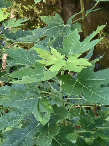
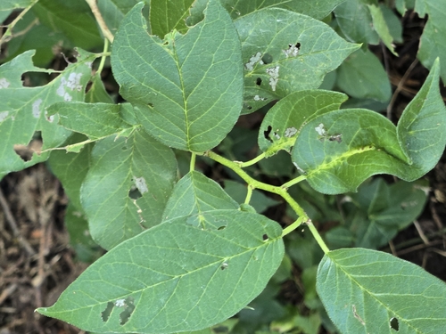
Research-grade observations from iNaturalist (within ~15 mi).
Nearest stream gauge
Events
Gallery
Sources
- • Wikipedia
- • US Census Bureau (ACS 5-year estimates)
- • NOAA National Weather Service
- • Wikidata
- • USGS Earthquake Catalog (global feed)
- • NCES via Urban Institute Education Data Portal
- • GBIF (Global Biodiversity Information Facility)
- • iNaturalist
- • Open-Meteo / sunrise-sunset.org
- • Wikipedia Pageviews API
- • NASA EONET