Browse / United States / Kansas / Iola
Iola
Kansascity

Iola
Total population
5,348
Median home value
$78,300
Bachelor's+
Median income
$54,221
Founded
1859
Demographic figures from US Census Bureau · ACS 5-year estimates. Overview below cites Wikipedia and may reference a different year.
- Flood Watch · SevereFlood Watch issued October 14 at 2:46AM CDT until October 15 at 1:00PM CDT by NWS Wichita KS
Source: NOAA National Weather Service.
City facts
Facts from Wikidata (CC0).
Overview
Iola is a city in and the county seat of Allen County, Kansas, United States. The city is situated along the Neosho River in southeast Kansas. As of the 2020 census, the population of the city was 5,396. It is named in honor of Iola Colborn, the wife of Josiah Colborn, one of the town's founders.
Read more on WikipediaHistory & geography
History
The history of Iola began in 1859. After the location of the county seat at Humboldt, by the legislature of 1858, there was a great deal of dissatisfaction among the residents of the central and northern parts of the county, and a number of citizens selected the present site of Iola, with the intention of ultimately securing the county seat. On January 1, 1859, a large meeting was held at the Deer Creek schoolhouse. The meeting decided to organize a town company, which was immediately done. A constitution was then adopted, and officers were elected. The officers of the company after due consideration of different points selected a site for the proposed town, about two miles (3 km) north of Cofachique, at the confluence of Elm Creek and the Neosho River. The site was owned in part by J.F. Colborn and W.H. Cochrane. The claims on two quarter-sections were bought, and were soon after surveyed into lots. The town company worked to get the town started. A meeting was held to choose a name. Several were proposed, and the choice was determined by ballot. The name Iola, the Christian name of J.F. Colborn's wife, was proposed. As a result of the vote, this name was chosen. Meetings of the company were held every week during the first year, and efforts made to induce settlement. By the close of the year a number of lots had been disposed of, several buildings erected, and other improvements made, as all who bought lots were required to make some improvements at once. The residents of Cofachique, despairing of making their town a success, joined with Iola, and most of them moved to the new site, all working together in the endeavor to secure the location of the county seat at once. The first building on the town site was a small log cabin owned by D.B. Bayne. Late in…
Geography
Iola is situated along the eastern bank of the Neosho River between Deer Creek, to the north, and Rock Creek, to the south, with Coon Creek flowing through the city. Important natural gas fields are in the vicinity. U.S. Route 54 passes through Iola along Madison Street and interchanges with U.S. Route 169, which passes by the east side of the city. The smaller cities of Gas and La Harpe are a few miles to the east along US-54. The tiny city of Bassett lies adjacent to Iola's southern border, and the city of Humboldt is approximately to the south along US-169. According to the United States Census Bureau, the city has a total area of , of which is land and is water. The climate in this area is characterized by hot, humid summers and generally mild to cool winters. According to the Köppen Climate Classification system, Iola has a humid subtropical climate, abbreviated "Cfa" on climate maps.
Excerpted from the corresponding Wikipedia article (CC BY-SA).
Demographics & economy
Race & ethnicity
Source: US Census Bureau — American Community Survey, 5-year estimates.
Geography
Coordinates & boundaries from the US Census TIGER/Line shapefiles.
Climate
Current forecast
Forecast for Iola, KS from NOAA NWS API.
Air quality
Industrial & pollution facilities
Natural hazard risk
Health (adults)
Age-adjusted prevalence estimates from CDC PLACES (latest release).
Walkability
Amenities nearby
Wildlife & biodiversity
Most-observed species
- Northern CardinalCardinalis cardinalis (Linnaeus, 1758) · Aves642
- Blue JayCyanocitta cristata (Linnaeus, 1758) · Aves603
- American CrowCorvus brachyrhynchos C.L.Brehm, 1822 · Aves592
- Mourning DoveZenaida macroura (Linnaeus, 1758) · Aves533
- Red-bellied WoodpeckerMelanerpes carolinus (Linnaeus, 1758) · Aves511
- House SparrowPasser domesticus (Linnaeus, 1758) · Aves371
- European StarlingSturnus vulgaris Linnaeus, 1758 · Aves358
- American RobinTurdus migratorius Linnaeus, 1766 · Aves353
Citizen-science & research observations from the Global Biodiversity Information Facility (GBIF).
Schools
Largest nearby schools
- Humboldt Virtual EducationHigh · Humboldt · 326 students
- Humboldt Elementary SchoolElementary · Humboldt · 322 students · 16.9:1 ratio
- Iola Sr HighHigh · Iola · 313 students · 13.6:1 ratio
- Iola Middle SchoolMiddle · Iola · 246 students · 12.9:1 ratio
- Humboldt High SchoolHigh · Humboldt · 185 students · 14.2:1 ratio
- Humboldt Middle SchoolMiddle · Humboldt · 141 students · 14.1:1 ratio
- Iola High School VirtualHigh · Iola · 11 students
Public K–12 schools within ~10 mi from Urban Institute Education Data Portal (NCES Common Core of Data, 2022).
Earthquake history
Photos
Sights & places nearby
Notable people from here


People born within ~10 km, from Wikidata (CC0). Click any name for their Wikipedia article.
Nearby places in Kansas
- Mildred14.1 mi away · pop. 33
- LeRoy16.7 mi away · pop. 510
- Kincaid17 mi away
- Bronson18 mi away · pop. 537
- Mont Ida20.1 mi away
- Buffalo22.1 mi away · pop. 282
- Uniontown23.8 mi away · pop. 467
- Earlton23.8 mi away · pop. 111
- Blue Mound24 mi away · pop. 234
- Urbana25.5 mi away
- Garnett26.2 mi away · pop. 3,202
- Burlington26.3 mi away · pop. 2,605
Geography & sun
Elevation, sunrise/sunset and daylight from Open-Meteo. Solar climatology from NASA POWER.
Nearby airports
Public attention
Pageview totals from the Wikimedia Pageviews API.
Books about Iola

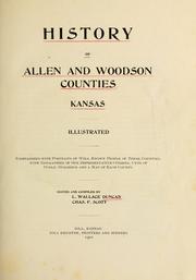
Search results from Open Library.
Recent natural events nearby
- Wildfire BISON, Osage, OklahomaWildfires · 2026-08-21 · 89 mi
- Wildfire B.B, Osage, OklahomaWildfires · 2026-08-06 · 91 mi
- Wildfire WRIGHT, Hughes, OklahomaWildfires · 2026-08-29 · 191 mi
- Wildfire Burnt Canyon, Woodward, OklahomaWildfires · 2026-08-15 · 232 mi
- Wildfire Alexander Trail Fire, Pushmataha, OklahomaWildfires · 2026-08-30 · 238 mi
- Wildfire Alexander Trail, Pushmataha, OklahomaWildfires · 2026-08-30 · 238 mi
- Wildfire Buck Creek, Pushmataha, OklahomaWildfires · 2026-08-25 · 238 mi
- Wildfire Snake Mountain, Pushmataha, OklahomaWildfires · 2026-08-14 · 238 mi
Wildfires, storms and other events from NASA EONET (last 12 months, within 250 mi).
Ground air-quality sensors
Recently spotted species
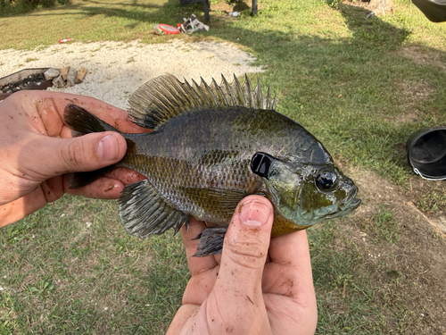
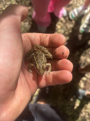
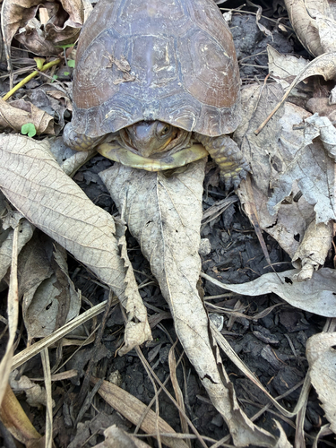
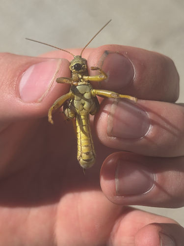
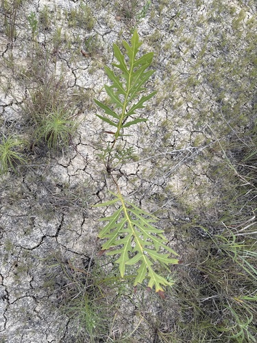
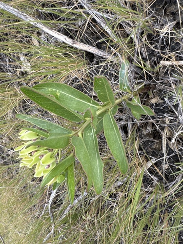
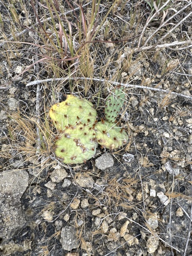
Research-grade observations from iNaturalist (within ~15 mi).
Nearest stream gauge
Events
Gallery
Sources
- • Wikipedia
- • US Census Bureau (ACS 5-year estimates)
- • NOAA National Weather Service
- • Wikidata
- • NCES via Urban Institute Education Data Portal
- • GBIF (Global Biodiversity Information Facility)
- • iNaturalist
- • CDC PLACES
- • Open-Meteo / sunrise-sunset.org
- • Wikipedia Pageviews API
- • Open Library
- • NASA EONET