Browse / United States / Kansas / Lawrence
Lawrence
Kansascity

Lawrence
Total population
97,265
Median home value
$315,100
Bachelor's+
Median income
$67,129
Founded
1854
Air quality index
Demographic figures from US Census Bureau · ACS 5-year estimates. Overview below cites Wikipedia and may reference a different year.
- Frost Advisory · MinorFrost Advisory issued October 16 at 9:55AM CDT until October 17 at 9:00AM CDT by NWS Topeka KS
Source: NOAA National Weather Service.
City facts
Sister cities
Facts from Wikidata (CC0).
Overview
Lawrence is a city in and the county seat of Douglas County, Kansas, United States, and the sixth-largest city in the state. It is in the northeastern sector of the state, astride Interstate 70, between the Kansas and Wakarusa rivers. As of the 2020 census, the population of the city was 94,934. The city is a college town with a significant student population, because it is home to both the University of Kansas (KU) and Haskell Indian Nations University (HINU).
Read more on WikipediaHistory & geography
History
The Kaw people, also known as the Kansa, settled the region including what is now Lawrence in the late 17th or early 18th century. A series of treaties with the U.S. government compelled the Kaw to relinquish the land to the Shawnee and their Indian Reservation, established in 1830. The Kansas Territory was established in May 1854. During this period, the Oregon Trail ran parallel to the Kansas River, roughly through the area where Lawrence is now. A hill in the area, then known as Hogback Ridge and now known as Mount Oread, which sits on the water divide separating the Kansas and Wakarusa River, was used as a landmark and outlook by those on the trail. While the territory was technically closed to settlement until 1854, there were a few "squatter settlements" in the area, especially just north of the Kansas River. Lawrence was founded "strictly for political reasons" having to do with slavery, which was heavily debated in the United States in the early to mid-1800s. Northern Democrats, led by Senators Lewis Cass of Michigan and Stephen A. Douglas of Illinois, promoted "popular sovereignty" as a middle position on the slavery issue. Its proponents argued it was more democratic, as it allowed the citizens of newly organized territories (and not Washington, D.C. politicians) to have a direct say as to the legality of slavery in their own lands.) Douglas eventually made popular sovereignty the backbone of his Kansas–Nebraska Actlegislation that effectively repealed the Missouri Compromise of 1820 and created the territories of Kansas and Nebraskawhich passed Congress in 1854. The Christian abolitionist and Protestant minister Richard Cordley later noted that after the bill became law, "there was a feeling of despondency all over the north" because its passage "opened…
Geography
Lawrence is located approximately east of Topeka, and west of Kansas City, Kansas. Though Lawrence has a designated elevation of 866 feet (264 m), The city lies on the southern edge of the Dissected Till Plains, bordering the Osage Plains to the south. According to the United States Census Bureau, the city has a total area of , of which, is land and is water, and is split between Wakarusa Township and Grant Township with small portions in Lecompton, Kanwaka and Clinton Townships. Lawrence is between the Kansas and Wakarusa Rivers. Several major creeks flow through Lawrence. Burroughs Creek in East Lawrence (named after the writer William S. Burroughs, who retired in East Lawrence) and Baldwin Creek in northwestern Lawrence empty into the Kansas River. Yankee Tank Creek in southwest Lawrence and an unnamed creek that flows through central Lawrence converge with the Wakarusa River south of the city. Yankee Tank Creek is dammed to form Lake Alvamar, which was originally called Yankee Tank Lake. The Wakarusa River was dammed to form Clinton Lake. Potter Lake is on the University of Kansas Campus and Mary's Lake is in southeastern Lawrence within Prairie Park. The Haskell-Baker Wetlands, maintained by Haskell University and Baker University, is an extensive open space in the southern part of the city that features wetlands, native plants, hiking and biking trails, and interpretative signage about the prairie and wetland ecosystems. Lawrence has 54 parks which include community and neighborhood parks, trails, cemeteries and nature preserves. A new, multi-use trail system called the Lawrence Loop ("the Loop") encircles the city and, when fully completed, will create a 22-mile paved recreational trail, a green transportation network, and multiple opportunities for…
Excerpted from the corresponding Wikipedia article (CC BY-SA).
Demographics & economy
Race & ethnicity
Source: US Census Bureau — American Community Survey, 5-year estimates.
Geography
Coordinates & boundaries from the US Census TIGER/Line shapefiles.
Climate
Current forecast
Forecast for Lawrence, KS from NOAA NWS API.
Air quality
Current readings from Open-Meteo Air Quality API (Copernicus CAMS European reanalysis).
Industrial & pollution facilities
Natural hazard risk
Health (adults)
Age-adjusted prevalence estimates from CDC PLACES (latest release).
Walkability
Amenities nearby
Wildlife & biodiversity
Most-observed species
- Northern CardinalCardinalis cardinalis (Linnaeus, 1758) · Aves17,821
- Black-capped ChickadeePoecile atricapillus (Linnaeus, 1766) · Aves14,064
- American CrowCorvus brachyrhynchos C.L.Brehm, 1822 · Aves13,871
- Blue JayCyanocitta cristata (Linnaeus, 1758) · Aves12,635
- Red-bellied WoodpeckerMelanerpes carolinus (Linnaeus, 1758) · Aves11,311
- Mourning DoveZenaida macroura (Linnaeus, 1758) · Aves11,230
- Tufted TitmouseBaeolophus bicolor (Linnaeus, 1766) · Aves11,078
- American RobinTurdus migratorius Linnaeus, 1766 · Aves10,839
Citizen-science & research observations from the Global Biodiversity Information Facility (GBIF).
Schools
Largest nearby schools
- Lawrence Free State HighHigh · Lawrence · 1,777 students · 19.7:1 ratio
- Lawrence HighHigh · Lawrence · 1,589 students · 18.3:1 ratio
- Lawrence Virtual SchoolOther · Lawrence · 766 students · 22.5:1 ratio
- Eudora Elementary SchoolElementary · Eudora · 742 students · 15.1:1 ratio
- Lawrence Southwest Middle SchoolMiddle · Lawrence · 641 students · 14.2:1 ratio
- Lawrence West Middle SchoolMiddle · Lawrence · 609 students · 14.5:1 ratio
- Eudora High SchoolHigh · Eudora · 541 students · 17.5:1 ratio
- Billy Mills Middle SchoolMiddle · Lawrence · 516 students · 12.9:1 ratio
Public K–12 schools within ~10 mi from Urban Institute Education Data Portal (NCES Common Core of Data, 2022).
Earthquake history
Photos
Sights & places nearby
Notable people from here


People born within ~10 km, from Wikidata (CC0). Click any name for their Wikipedia article.
Nearby places in Kansas
- Williamstown8.1 mi away
- Eudora9.2 mi away · pop. 6,119
- Linwood12.5 mi away · pop. 312
- Baldwin City13.2 mi away · pop. 4,911
- De Soto16.8 mi away · pop. 6,414
- Gardner20.7 mi away · pop. 24,526
- Topeka23.8 mi away · pop. 125,475
- Wakarusa24.2 mi away · pop. 209
- Olathe24.4 mi away · pop. 149,027
- Lenexa24.7 mi away · pop. 58,384
- Ottawa24.9 mi away · pop. 12,678
- Shawnee24.9 mi away · pop. 68,542
Geography & sun
Elevation, sunrise/sunset and daylight from Open-Meteo. Solar climatology from NASA POWER.
Nearby airports
Public attention
Pageview totals from the Wikimedia Pageviews API.
Books about Lawrence


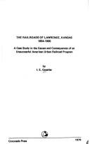
Search results from Open Library.
Recent natural events nearby
- Wildfire BISON, Osage, OklahomaWildfires · 2026-08-21 · 155 mi
- Wildfire B.B, Osage, OklahomaWildfires · 2026-08-06 · 156 mi
Wildfires, storms and other events from NASA EONET (last 12 months, within 250 mi).
Ground air-quality sensors
Recently spotted species
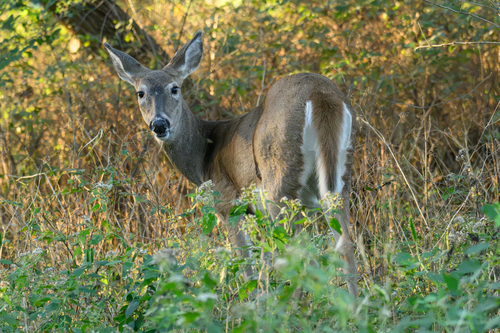
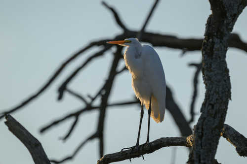
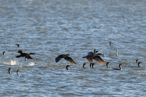
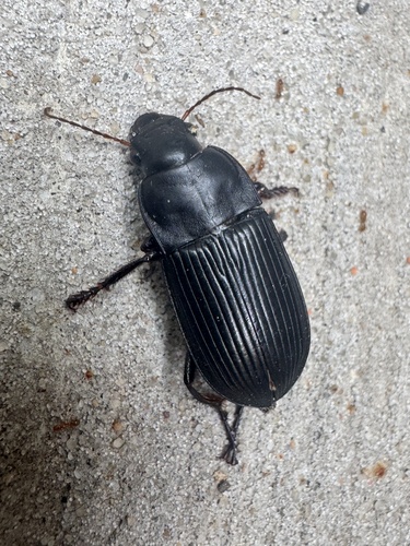
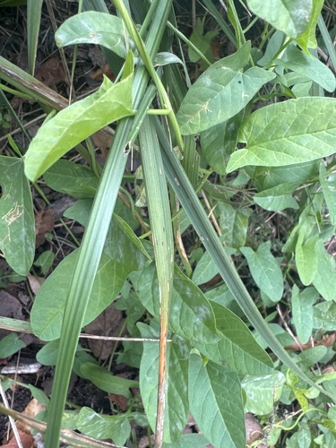
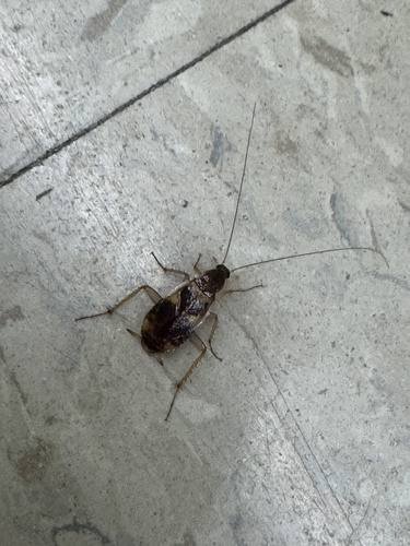
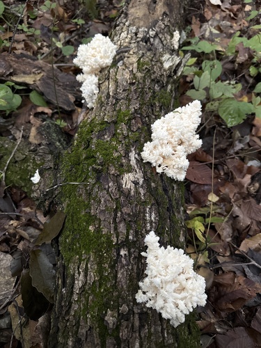
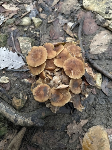
Research-grade observations from iNaturalist (within ~15 mi).
Nearest stream gauge
Live readings from USGS NWIS · measured 2026-10-16 10:35 UTC.
Events
Gallery
Geotagged photos within ~6 miles of Lawrence, from Wikimedia Commons contributors.
 0.1 mi
 0.1 mi
 0.1 mi
 0.1 mi
 0.1 mi
 0.1 mi
 0.4 mi
 0.4 mi
 0.4 mi
 0.4 mi
.jpg) 0.5 mi
0.5 mi.jpg) 0.5 mi
0.5 mi.jpg) 0.5 mi
0.5 mi.jpg) 0.5 mi
0.5 mi.jpg) 0.5 mi
0.5 mi.jpg) 0.5 mi
0.5 mi.jpg) 0.5 mi
0.5 mi.jpg) 0.5 mi
0.5 mi.jpg) 0.5 mi
0.5 mi.jpg) 0.5 mi
0.5 mi.jpg) 0.5 mi
0.5 mi.jpg) 0.5 mi
0.5 mi.jpg) 0.5 mi
0.5 mi 0.5 mi
Photos via Wikimedia Commons — see each image page for license & attribution.
Sources
- • Wikipedia
- • US Census Bureau (ACS 5-year estimates)
- • NOAA National Weather Service
- • Wikimedia Commons
- • Wikidata
- • Open-Meteo Air Quality (CAMS)
- • USGS NWIS (water data)
- • NCES via Urban Institute Education Data Portal
- • GBIF (Global Biodiversity Information Facility)
- • iNaturalist
- • CDC PLACES
- • Open-Meteo / sunrise-sunset.org
- • Wikipedia Pageviews API
- • Open Library
- • NASA EONET