Browse / United States / Kansas / Liberal
Liberal
Kansascity

Liberal
Total population
19,316
Median home value
$137,100
Bachelor's+
Median income
$63,706
Founded
1888
Demographic figures from US Census Bureau · ACS 5-year estimates. Overview below cites Wikipedia and may reference a different year.
City facts
Facts from Wikidata (CC0).
Overview
Liberal is a city in and the county seat of Seward County, Kansas, United States. As of 2024, the population of the city was 18,743. It is located in southwestern Kansas, along U.S. Route 54 highway, near the Kansas-Oklahoma state line. Liberal is the home of Seward County Community College.
Read more on WikipediaHistory & geography
History
Early settler Seymour S. Rogers built the first house in what would become Liberal in 1872. Rogers became famous in the region for giving free water to thirsty travelers. Reportedly, Liberal gained its name from the common response to his acts of kindness, "That's very liberal of you." In 1885 Rogers built a general store, and with it came an official U.S. Post Office. Rogers named the post office 'Liberal'. After the railroad was built close by, a plan for the town site was created in 1888. A year later the population was around 800. Drought caused some farmers to give up and look for more fertile territory; however, when the nearby Indian Territory was opened, more settlers headed to the cheap land that would become Oklahoma. Natural gas was discovered west of town, in what would become part of the massive Panhandle-Hugoton Gas Field, in 1920. Oil was discovered southwest of town in 1951. In 1963 the largest helium plant in the world, National Helium, was opened.
Geography
Liberal is located in southwestern Kansas at the intersection of U.S. routes 54 and 83. Liberal is north-northeast of Amarillo, Texas, west-southwest of Wichita, and southeast of Denver, Colorado. The city lies approximately southwest of the Cimarron River in the High Plains region of the Great Plains. According to the United States Census Bureau, the city has a total area of , of which is land and is water. Liberal has a semi-arid steppe climate (Köppen BSk) characterized by hot, dry summers, cool, dry winters, and large diurnal temperature variation year-round; relative humidity averages 63%. On average, January is the coldest month, July is the hottest month, February is the driest month and June is the wettest month. The high temperature reaches or exceeds an average of 80.1 days a year and an average of 16.5 days. The minimum temperature falls to or below on an average of 1.6 days a year. The highest temperature recorded in Liberal was on June 10, 1981; the coldest temperature recorded was on February 27, 1930. |source 2 = National Weather Service }}
Excerpted from the corresponding Wikipedia article (CC BY-SA).
Demographics & economy
Race & ethnicity
Source: US Census Bureau — American Community Survey, 5-year estimates.
Geography
Coordinates & boundaries from the US Census TIGER/Line shapefiles.
Climate
Current forecast
Forecast for Liberal, KS from NOAA NWS API.
Air quality
Industrial & pollution facilities
Natural hazard risk
Health (adults)
Age-adjusted prevalence estimates from CDC PLACES (latest release).
Walkability
Amenities nearby
Wildlife & biodiversity
Most-observed species
- Mourning DoveZenaida macroura (Linnaeus, 1758) · Aves406
- Great-tailed GrackleQuiscalus mexicanus (Gmelin, 1788) · Aves348
- Eurasian Collared-DoveStreptopelia decaocto (Frivaldszky, 1838) · Aves297
- European StarlingSturnus vulgaris Linnaeus, 1758 · Aves297
- Western KingbirdTyrannus verticalis Say, 1823 · Aves243
- House SparrowPasser domesticus (Linnaeus, 1758) · Aves237
- Western MeadowlarkSturnella neglecta Audubon, 1844 · Aves223
- KilldeerCharadrius vociferus Linnaeus, 1758 · Aves217
Citizen-science & research observations from the Global Biodiversity Information Facility (GBIF).
Schools
Largest nearby schools
- Liberal Sr HighHigh · Liberal · 1,353 students · 15.4:1 ratio
- Sunflower Elementary SchoolElementary · Liberal · 582 students · 26.5:1 ratio
- Eisenhower Middle SchoolMiddle · Liberal · 559 students · 14:1 ratio
- Cottonwood Elementary SchoolElementary · Liberal · 498 students · 15.1:1 ratio
- Seymour Rogers Middle SchoolMiddle · Liberal · 496 students · 12.7:1 ratio
- Prairie View Elementary SchoolElementary · Liberal · 401 students · 13.4:1 ratio
- MacArthur Elementary SchoolElementary · Liberal · 391 students · 14.5:1 ratio
- Meadowlark Elementary SchoolElementary · Liberal · 379 students · 13.5:1 ratio
Public K–12 schools within ~10 mi from Urban Institute Education Data Portal (NCES Common Core of Data, 2022).
Earthquake history
Photos
Sights & places nearby
Notable people from here


People born within ~10 km, from Wikidata (CC0). Click any name for their Wikipedia article.
Nearby places in Kansas
- Hugoton24.6 mi away · pop. 3,974
- Meade36.1 mi away · pop. 1,341
- Copeland37.9 mi away · pop. 365
- Rolla39.1 mi away · pop. 542
- Fowler46.5 mi away · pop. 599
- Big Bow49.6 mi away · pop. 86
- Ensign56.7 mi away · pop. 125
- Minneola57.3 mi away · pop. 835
- Pierceville59.4 mi away
- Ingalls60 mi away · pop. 315
- Cimarron61.7 mi away · pop. 1,949
- Dodge City70.2 mi away · pop. 27,613
Geography & sun
Elevation, sunrise/sunset and daylight from Open-Meteo. Solar climatology from NASA POWER.
Nearby airports
Public attention
Pageview totals from the Wikimedia Pageviews API.
Books about Liberal
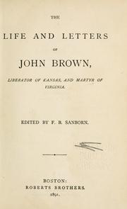


Search results from Open Library.
Recent natural events nearby
- Wildfire Semi 270, Woodward, OklahomaWildfires · 2026-08-01 · 86 mi
- Wildfire Burnt Canyon, Woodward, OklahomaWildfires · 2026-08-15 · 97 mi
- Wildfire Old Deer, Carson, TexasWildfires · 2026-08-23 · 111 mi
- Wildfire Black Kettle, Roger Mills, OklahomaWildfires · 2026-09-14 · 114 mi
- Wildfire Rabbit Ear East, Union, New MexicoWildfires · 2026-08-24 · 128 mi
- Wildfire Sheep Pen, Las Animas, ColoradoWildfires · 2026-08-12 · 130 mi
- Wildfire Brown, Oldham, TexasWildfires · 2026-08-09 · 163 mi
- Wildfire Calvary Creek, Washita, OklahomaWildfires · 2026-09-15 · 170 mi
Wildfires, storms and other events from NASA EONET (last 12 months, within 250 mi).
Ground air-quality sensors
Recently spotted species
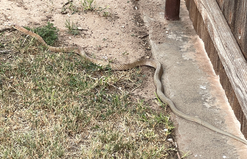
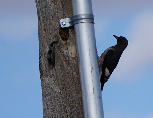
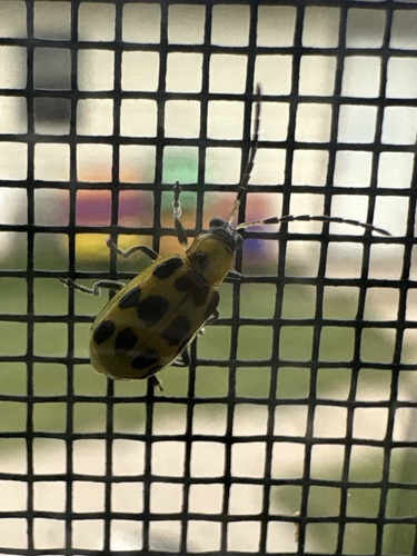
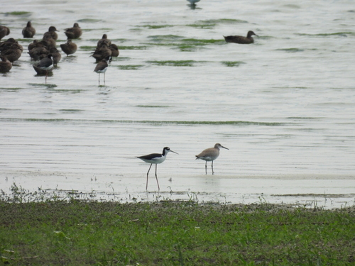
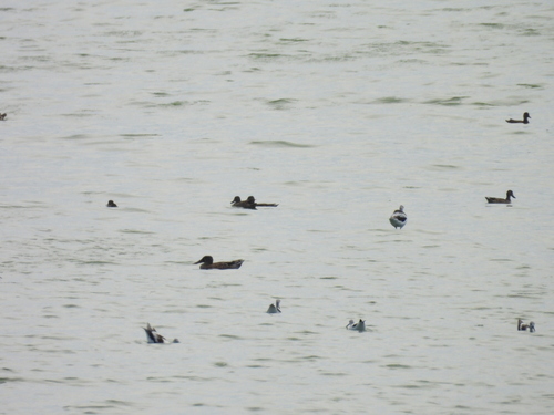
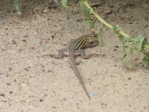
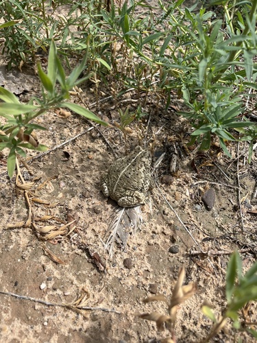
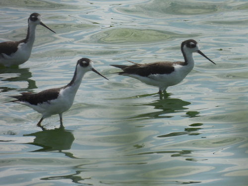
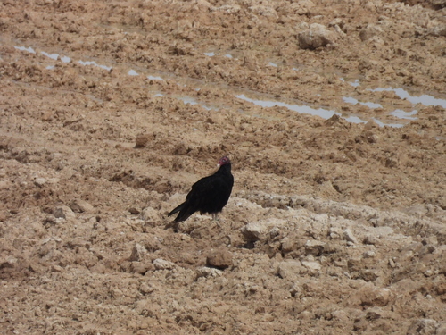
Research-grade observations from iNaturalist (within ~15 mi).
Nearest stream gauge
Events
Gallery
Sources
- • Wikipedia
- • US Census Bureau (ACS 5-year estimates)
- • NOAA National Weather Service
- • Wikidata
- • NCES via Urban Institute Education Data Portal
- • GBIF (Global Biodiversity Information Facility)
- • iNaturalist
- • CDC PLACES
- • Open-Meteo / sunrise-sunset.org
- • Wikipedia Pageviews API
- • Open Library
- • NASA EONET