Browse / United States / Kansas / Lyons
Lyons
Kansascity

Lyons
Total population
3,553
Median home value
$104,800
Bachelor's+
Median income
$62,569
Demographic figures from US Census Bureau · ACS 5-year estimates. Overview below cites Wikipedia and may reference a different year.
City facts
Overview
Lyons is a city in and the county seat of Rice County, Kansas, United States. As of the 2020 census, the population of the city was 3,611.
Read more on WikipediaHistory & geography
History
For millennia, the land now known as Kansas was inhabited by Native Americans. Although Coronado's exact route across the plains is uncertain and has been widely disputed, his men and he are thought to have camped near the present location of Lyons on their quest for Quivira, a Native American place that Indians to the southwest had told them was fabulously wealthy in gold. West of Lyons is a cross commemorating Juan de Padilla, a member of Coronado's expedition, who returned the following year as a missionary. He was killed in 1542 by Native Americans after establishing a church in the area, and is considered the first Christian martyr in North America. In 1803, most of modern Kansas was secured by the United States as part of the Louisiana Purchase. Lyons Main Street (U.S. Highway 56) is based on the Santa Fe Trail. In 1854, the Kansas Territory was organized, then in 1861 Kansas became the 34th U.S. state. In 1867, Rice County was founded. Lyons was originally called Atlanta, and under the latter name was founded in 1870. It was renamed Lyons in 1876, in honor of Freeman J. Lyons. In 1878, Atchison, Topeka and Santa Fe Railway and parties from Marion County and McPherson County chartered the Marion and McPherson Railway Company. In 1879, a branch line was built from Florence to McPherson, in 1880, it was extended to Lyons, and in 1881, it was extended to Ellinwood. The line was leased and operated by the Atchison, Topeka and Santa Fe Railway. The line from Florence to Marion, was abandoned in 1968. In 1992, the line from Marion to McPherson was sold to Central Kansas Railway. In 1993, after heavy flood damage, the line from Marion to McPherson was abandoned. The original branch line connected Florence, Marion, Canada, Hillsboro, Lehigh, Canton, Galva,…
Geography
According to the United States Census Bureau, the city has a total area of , all land. According to the Köppen climate classification, Lyons has a humid continental climate, Dfa on climate maps.
Excerpted from the corresponding Wikipedia article (CC BY-SA).
Demographics & economy
Race & ethnicity
Source: US Census Bureau — American Community Survey, 5-year estimates.
Geography
Coordinates & boundaries from the US Census TIGER/Line shapefiles.
Climate
Current forecast
Forecast for Lyons, KS from NOAA NWS API.
Air quality
Industrial & pollution facilities
Natural hazard risk
Health (adults)
Age-adjusted prevalence estimates from CDC PLACES (latest release).
Walkability
Amenities nearby
Wildlife & biodiversity
Most-observed species
- Mourning DoveZenaida macroura (Linnaeus, 1758) · Aves114
- European StarlingSturnus vulgaris Linnaeus, 1758 · Aves99
- American RobinTurdus migratorius Linnaeus, 1766 · Aves90
- Red-winged BlackbirdAgelaius phoeniceus (Linnaeus, 1766) · Aves78
- Blue JayCyanocitta cristata (Linnaeus, 1758) · Aves63
- House SparrowPasser domesticus (Linnaeus, 1758) · Aves57
- Red-tailed HawkButeo jamaicensis (Gmelin, 1788) · Aves54
- Eurasian Collared-DoveStreptopelia decaocto (Frivaldszky, 1838) · Aves53
Citizen-science & research observations from the Global Biodiversity Information Facility (GBIF).
Schools
Largest nearby schools
- Sterling Grade SchoolElementary · Sterling · 260 students · 13.7:1 ratio
- Sterling Junior High/Senior HighHigh · Sterling · 214 students · 11.3:1 ratio
- Lyons High SchoolHigh · Lyons · 212 students · 10.6:1 ratio
- Lyons Middle SchoolMiddle · Lyons · 187 students · 9.8:1 ratio
- Lyons Park ElementaryElementary · Lyons · 181 students · 9.5:1 ratio
- Lyons Central ElementaryElementary · Lyons · 157 students · 11.2:1 ratio
- Chase ElemElementary · Chase · 68 students · 8.5:1 ratio
- Chase HighHigh · Chase · 44 students · 8.8:1 ratio
Public K–12 schools within ~10 mi from Urban Institute Education Data Portal (NCES Common Core of Data, 2022).
Earthquake history
Photos
Sights & places nearby
Notable people from here
Nearby places in Kansas
Geography & sun
Elevation, sunrise/sunset and daylight from Open-Meteo. Solar climatology from NASA POWER.
Nearby airports
Public attention
Pageview totals from the Wikimedia Pageviews API.
Books about Lyons
Search results from Open Library.
Recent natural events nearby
- Wildfire Burnt Canyon, Woodward, OklahomaWildfires · 2026-08-15 · 134 mi
- Wildfire B.B, Osage, OklahomaWildfires · 2026-08-06 · 138 mi
- Wildfire BISON, Osage, OklahomaWildfires · 2026-08-21 · 144 mi
- Wildfire Semi 270, Woodward, OklahomaWildfires · 2026-08-01 · 146 mi
- Wildfire Black Kettle, Roger Mills, OklahomaWildfires · 2026-09-14 · 196 mi
- Wildfire GRACEMONT, Caddo, OklahomaWildfires · 2026-09-13 · 209 mi
- Wildfire 2690, Caddo, OklahomaWildfires · 2026-08-21 · 220 mi
- Wildfire Calvary Creek, Washita, OklahomaWildfires · 2026-09-15 · 225 mi
Wildfires, storms and other events from NASA EONET (last 12 months, within 250 mi).
Ground air-quality sensors
Recently spotted species
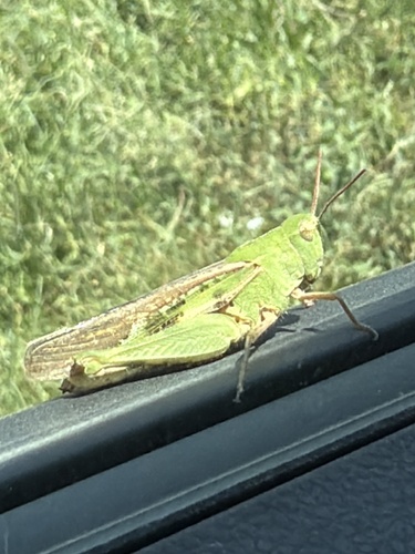


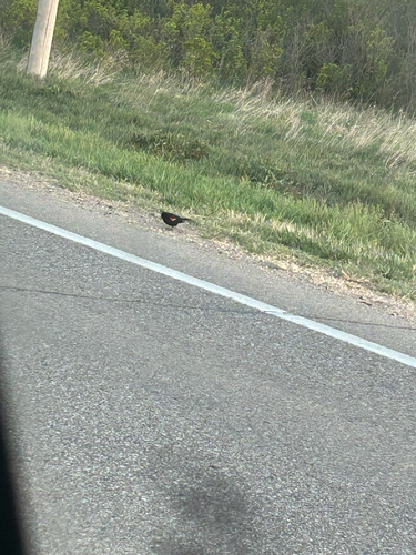
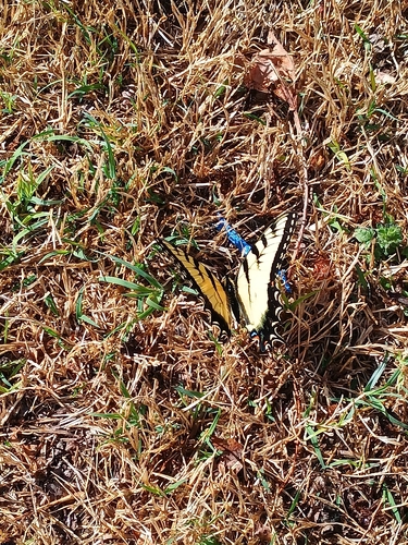
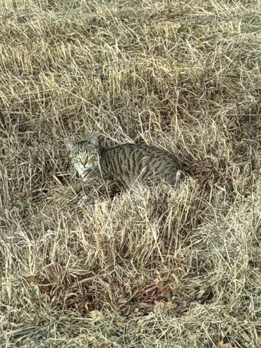

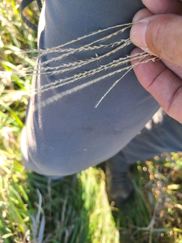
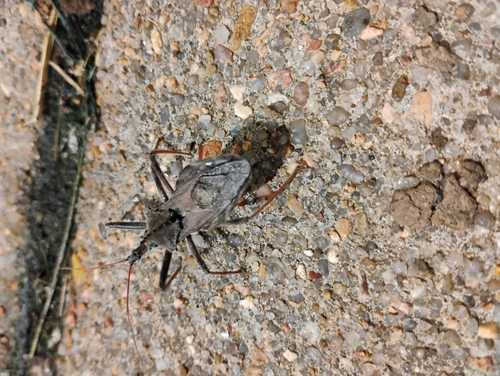
Research-grade observations from iNaturalist (within ~15 mi).
Nearest stream gauge
Events
Gallery
Sources
- • Wikipedia
- • US Census Bureau (ACS 5-year estimates)
- • NOAA National Weather Service
- • NCES via Urban Institute Education Data Portal
- • GBIF (Global Biodiversity Information Facility)
- • iNaturalist
- • CDC PLACES
- • Open-Meteo / sunrise-sunset.org
- • Wikipedia Pageviews API
- • Open Library
- • NASA EONET