Browse / United States / Kansas / Manhattan
Manhattan
Kansascity

Manhattan
Total population
54,239
Median home value
$246,700
Bachelor's+
Median income
$60,172
Founded
1855
Demographic figures from US Census Bureau · ACS 5-year estimates. Overview below cites Wikipedia and may reference a different year.
- Dense Fog Advisory · ModerateDense Fog Advisory issued September 17 at 12:36AM CDT until September 17 at 10:00AM CDT by NWS Topeka KS
Source: NOAA National Weather Service.
City facts
Facts from Wikidata (CC0).
Overview
Manhattan is a city in and the county seat of Riley County, Kansas, United States, although the city extends into Pottawatomie County. It is located in northeastern Kansas at the junction of the Kansas River and Big Blue River. As of the 2020 census, the population of the city was 54,100.
Read more on WikipediaHistory & geography
History
Before settlement by European-Americans in the 1850s, the land around Manhattan was home to Native tribes. From 1780 to 1830, it was home to the Kaw people, also known as the Kansa. The Kansas–Nebraska Act opened the territory to settlement by U.S. citizens in 1854. That fall, George S. Park founded the first Euro-American settlement within the borders of the current Manhattan. Park named it Polistra (some histories refer to it as Poliska or Poleska). Later that year, Samuel D. Houston and three other pioneers founded Canton, a neighboring community near the mouth of the Big Blue River. Neither Canton nor Polistra ever grew beyond their original founders. Led by Isaac Goodnow, the first members of the group (with the help of Samuel C. Pomeroy) selected the location of the Polistra and Canton claims for the Aid Company's new settlement. Soon after the New Englanders arrived at the site, in April 1855, they agreed to join Canton and Polistra to make one settlement named Boston. After realizing they were stranded, the Hartford passengers accepted an invitation to join the new town, but insisted that it be renamed Manhattan, which was done on June 29, 1855. Manhattan was incorporated on May 30, 1857. Early Manhattan settlers sometimes conflicted with Native tribes, and the town was threatened by pro-enslavement Southerners. Manhattan was staunchly Free-State, and it elected the only two Free-State legislators to the first Territorial Legislature, commonly called the "Bogus Legislature". By the time the Kansas Pacific Railroad laid its tracks west through Manhattan in 1866, the 11-year-old settlement was permanently ensconced in the tallgrass prairie. Manhattan's population has grown every decade since its founding. The town received the All-America City Award in 1952,…
Geography
Manhattan is located at coordinates 39.1836082, -96.5716694 in the scenic Flint Hills and Great Plains of the state of Kansas, Manhattan is in the Flint Hills region of Kansas, which consists of continuous rolling hills covered in tall grasses. However, the downtown area – Manhattan's original site – was built on a broad, flat floodplain at the junction of the Kansas and Big Blue rivers. Manhattan is the largest town in the Flint Hills, and is home to the Flint Hills Discovery Center. Tuttle Creek Reservoir is north of Manhattan. The lake was formed when the Big Blue River was dammed for flood control in the 1960s, and it is now a state park that offers many recreational opportunities. South of the city is the Konza Prairie, a tallgrass prairie preserve owned by The Nature Conservancy and Kansas State University. Kansas is not known for earthquake activity, but Manhattan is near the Nemaha Ridge, a long structure bounded by several faults, and which is still active. In particular, the Humboldt Fault Zone lies just eastward of Tuttle Creek Reservoir. On April 24, 1867, the 1867 Manhattan earthquake struck Riley County. Measuring 5.1 on the Richter magnitude scale, the earthquake's epicenter was by Manhattan. It remains the strongest earthquake to originate in Kansas, at an intensity of VII (Very strong) on the Mercalli intensity scale, and felt across roughly . It caused largely minor damage, reports of which were confined to Kansas, Iowa, and Missouri, according to the United States Geological Survey. Although Kansas is not seismically active, a strong earthquake could pose significant threats to the state. If an earthquake had occurred along the Nemaha Ridge prior to 2010, it could have destroyed the dam on Tuttle Creek Reservoir, releasing of water per…
Excerpted from the corresponding Wikipedia article (CC BY-SA).
Demographics & economy
Race & ethnicity
Source: US Census Bureau — American Community Survey, 5-year estimates.
Geography
Coordinates & boundaries from the US Census TIGER/Line shapefiles.
Climate
Current forecast
Forecast for Manhattan, KS from NOAA NWS API.
Air quality
Industrial & pollution facilities
Natural hazard risk
Health (adults)
Age-adjusted prevalence estimates from CDC PLACES (latest release).
Walkability
Amenities nearby
Wildlife & biodiversity
Schools
Largest nearby schools
- Manhattan High School West/East CampusHigh · Manhattan · 1,954 students · 13.7:1 ratio
- Susan B Anthony Middle SchoolMiddle · Manhattan · 747 students · 13.8:1 ratio
- Dwight D Eisenhower Middle SchoolMiddle · Manhattan · 740 students · 13:1 ratio
- Frank V Bergman ElemElementary · Manhattan · 536 students · 17.9:1 ratio
- Theo Roosevelt ElemElementary · Manhattan · 449 students · 23.6:1 ratio
- Marlatt ElemElementary · Manhattan · 447 students · 14.9:1 ratio
- Amanda Arnold ElemElementary · Manhattan · 439 students · 13.3:1 ratio
- Northview ElemElementary · Manhattan · 376 students · 13.4:1 ratio
Public K–12 schools within ~10 mi from Urban Institute Education Data Portal (NCES Common Core of Data, 2022).
Earthquake history
Photos
Sights & places nearby
Notable people from here


People born within ~10 km, from Wikidata (CC0). Click any name for their Wikipedia article.
Nearby places in Kansas
- St. George10 mi away · pop. 1,039
- Louisville16.2 mi away · pop. 175
- Milford16.3 mi away · pop. 337
- Junction City17.3 mi away · pop. 22,331
- Bala20.3 mi away
- McFarland21.8 mi away · pop. 363
- Wakefield22.2 mi away
- Belvue22.9 mi away · pop. 175
- Alta Vista23.3 mi away · pop. 443
- Newbury24.3 mi away · pop. 50
- Wheaton26.6 mi away
- Chapman26.8 mi away · pop. 1,454
Geography & sun
Elevation, sunrise/sunset and daylight from Open-Meteo. Solar climatology from NASA POWER.
Nearby airports
Public attention
Pageview totals from the Wikimedia Pageviews API.
Books about Manhattan

Search results from Open Library.
Recent natural events nearby
- Wildfire B.B, Osage, OklahomaWildfires · 2026-08-06 · 158 mi
- Wildfire BISON, Osage, OklahomaWildfires · 2026-08-21 · 160 mi
- Wildfire Burnt Canyon, Woodward, OklahomaWildfires · 2026-08-15 · 230 mi
- Wildfire Semi 270, Woodward, OklahomaWildfires · 2026-08-01 · 244 mi
Wildfires, storms and other events from NASA EONET (last 12 months, within 250 mi).
Ground air-quality sensors
Recently spotted species
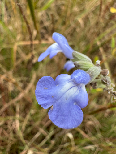
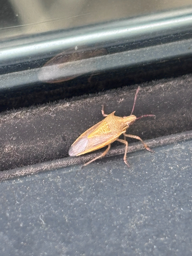
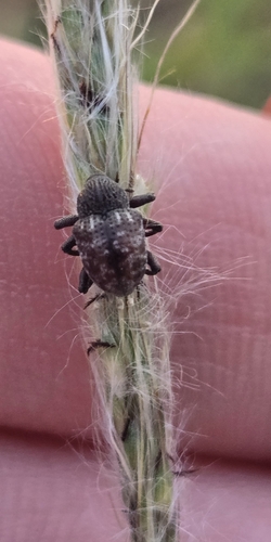
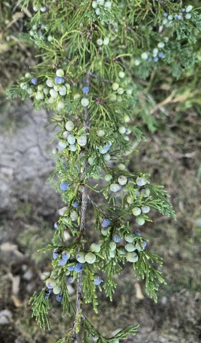
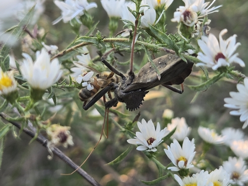
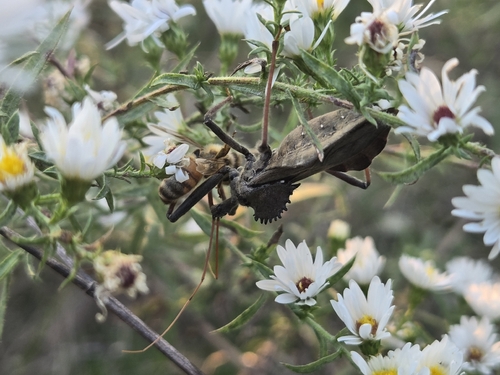
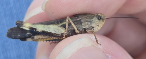
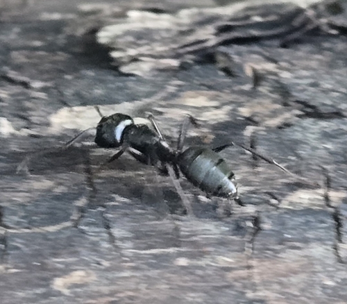
Research-grade observations from iNaturalist (within ~15 mi).
Nearest stream gauge
Live readings from USGS NWIS · measured 2026-10-13 19:30 UTC.
Events
Gallery
Sources
- • Wikipedia
- • US Census Bureau (ACS 5-year estimates)
- • NOAA National Weather Service
- • Wikidata
- • USGS NWIS (water data)
- • NCES via Urban Institute Education Data Portal
- • iNaturalist
- • CDC PLACES
- • Open-Meteo / sunrise-sunset.org
- • Wikipedia Pageviews API
- • Open Library
- • NASA EONET