Browse / United States / Kansas / McPherson
McPherson
Kansascity

McPherson
Total population
13,995
Median home value
$211,700
Bachelor's+
Median income
$77,529
Founded
1872
Air quality index
Demographic figures from US Census Bureau · ACS 5-year estimates. Overview below cites Wikipedia and may reference a different year.
City facts
Facts from Wikidata (CC0).
Overview
McPherson is a city in and the county seat of McPherson County, Kansas, United States. As of the 2020 census, the population of the city was 14,082. The city is named after Union General James Birdseye McPherson, a Civil War general. It is home to McPherson College and Central Christian College.
Read more on WikipediaHistory & geography
History
For millennia, the land now known as Kansas was inhabited by Native Americans. In 1803, most of modern Kansas was secured by the United States as part of the Louisiana Purchase. In 1854, the Kansas Territory was organized, then in 1861 Kansas became the 34th U.S. state. In 1867, McPherson County was founded. McPherson was founded in 1870 by the twelve members of the McPherson Town Company. In 1887, city officials began a failed attempt to have the community named the state capital. The first post office in McPherson was established in 1873. McPherson was incorporated as a city in 1874. As early as 1875, city leaders of Marion held a meeting to consider a branch railroad from Florence. In 1878, Atchison, Topeka and Santa Fe Railway and parties from Marion and McPherson counties chartered the Marion and McPherson Railway Company. In 1879, a branch line was built from Florence to McPherson. In 1880 it was extended to Lyons and in 1881 it was extended to Ellinwood. The line was leased and operated by the Atchison, Topeka and Santa Fe Railway. The line from Florence to Marion was abandoned in 1968. In 1992, the line from Marion to McPherson was sold to Central Kansas Railway. In 1993, after heavy flood damage, the line from Marion to McPherson was abandoned. The original branch line connected Florence, Marion, Canada, Hillsboro, Lehigh, Canton, Galva, McPherson, Conway, Windom, Little River, Mitchell, Lyons, Chase and Ellinwood. In 1887, the Chicago, Kansas and Nebraska Railway built a main line from Herington through McPherson to Pratt. In 1888, this line was extended to Liberal. Later, it was extended to Tucumcari, New Mexico and El Paso, Texas. It foreclosed in 1891 and taken over by Chicago, Rock Island and Pacific Railway, which shut down in 1980 and reorganized as…
Geography
According to the United States Census Bureau, the city has a total area of , of which is land and is water. The community is located on U.S. Route 56, just west of Interstate 135. McPherson is part of the Little Arkansas River Watershed that ultimately empties into the Arkansas River in Wichita. Dry Turkey Creek is a wet weather stream that composes several enhanced lakes within the city limits. It feeds the Lakeside Park Lagoon before crossing under East Euclid Street and Kansas Avenue, where it then forms Wall Park Lake. South and west of town are four units of the reclaimed McPherson Valley Wetlands, acquired and managed by Kansas Department of Wildlife and Parks, Ducks Unlimited, and the U.S. Fish and Wildlife Service. Prior to 1880, this natural wetlands was an important waterfowl and wildlife habitat second only to Cheyenne Bottoms in importance to migratory bird populations. These wetlands continue to see improvement and development. The climate in this area is characterized by hot, humid summers and generally mild to cool winters. According to the Köppen Climate Classification system, McPherson has a humid subtropical climate, abbreviated "Cfa" on climate maps.
Excerpted from the corresponding Wikipedia article (CC BY-SA).
Demographics & economy
Race & ethnicity
Source: US Census Bureau — American Community Survey, 5-year estimates.
Geography
Coordinates & boundaries from the US Census TIGER/Line shapefiles.
Climate
Current forecast
Forecast for McPherson, KS from NOAA NWS API.
Air quality
Current readings from Open-Meteo Air Quality API (Copernicus CAMS European reanalysis).
Industrial & pollution facilities
Natural hazard risk
Health (adults)
Age-adjusted prevalence estimates from CDC PLACES (latest release).
Walkability
Amenities nearby
Wildlife & biodiversity
Most-observed species
- Red-winged BlackbirdAgelaius phoeniceus (Linnaeus, 1766) · Aves730
- Mourning DoveZenaida macroura (Linnaeus, 1758) · Aves698
- Northern CardinalCardinalis cardinalis (Linnaeus, 1758) · Aves658
- American RobinTurdus migratorius Linnaeus, 1766 · Aves627
- Canada Goose (canadensis Group)Branta canadensis (Linnaeus, 1758) · Aves564
- Blue JayCyanocitta cristata (Linnaeus, 1758) · Aves535
- KilldeerCharadrius vociferus Linnaeus, 1758 · Aves487
- European StarlingSturnus vulgaris Linnaeus, 1758 · Aves482
Citizen-science & research observations from the Global Biodiversity Information Facility (GBIF).
Schools
Largest nearby schools
- McPherson HighHigh · McPherson · 709 students · 13.9:1 ratio
- McPherson Middle SchoolMiddle · McPherson · 492 students · 15.4:1 ratio
- Washington ElemElementary · McPherson · 285 students · 14.3:1 ratio
- Roosevelt ElemElementary · McPherson · 266 students · 12.7:1 ratio
- Eisenhower ElementaryElementary · McPherson · 265 students · 13.3:1 ratio
- Lincoln ElemElementary · McPherson · 253 students · 12:1 ratio
- Canton-Galva ElementaryElementary · Galva · 204 students · 13.6:1 ratio
Public K–12 schools within ~10 mi from Urban Institute Education Data Portal (NCES Common Core of Data, 2022).
Earthquake history
Photos
Sights & places nearby
Notable people from here


People born within ~10 km, from Wikidata (CC0). Click any name for their Wikipedia article.
Nearby places in Kansas
- Elyria5.8 mi away
- Galva6.9 mi away · pop. 1,002
- Canton12.7 mi away · pop. 706
- Moundridge14.2 mi away · pop. 1,628
- Marquette15.8 mi away · pop. 585
- Buhler17 mi away · pop. 1,525
- Little River19.1 mi away · pop. 402
- Goessel19.3 mi away · pop. 600
- Hesston20.5 mi away · pop. 3,582
- Burrton23.9 mi away · pop. 808
- Hillsboro25.2 mi away · pop. 2,700
- North Newton26.6 mi away · pop. 2,155
Geography & sun
Elevation, sunrise/sunset and daylight from Open-Meteo. Solar climatology from NASA POWER.
Nearby airports
Public attention
Pageview totals from the Wikimedia Pageviews API.
Books about McPherson

Search results from Open Library.
Recent natural events nearby
- Wildfire B.B, Osage, OklahomaWildfires · 2026-08-06 · 121 mi
- Wildfire BISON, Osage, OklahomaWildfires · 2026-08-21 · 126 mi
- Wildfire Burnt Canyon, Woodward, OklahomaWildfires · 2026-08-15 · 151 mi
- Wildfire Semi 270, Woodward, OklahomaWildfires · 2026-08-01 · 164 mi
- Wildfire Black Kettle, Roger Mills, OklahomaWildfires · 2026-09-14 · 211 mi
- Wildfire GRACEMONT, Caddo, OklahomaWildfires · 2026-09-13 · 213 mi
- Wildfire 2690, Caddo, OklahomaWildfires · 2026-08-21 · 223 mi
- Wildfire Calvary Creek, Washita, OklahomaWildfires · 2026-09-15 · 234 mi
Wildfires, storms and other events from NASA EONET (last 12 months, within 250 mi).
Ground air-quality sensors
Recently spotted species
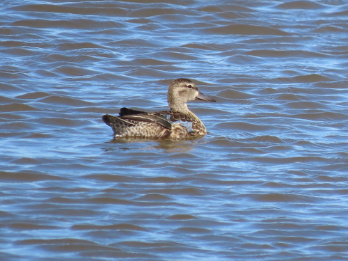
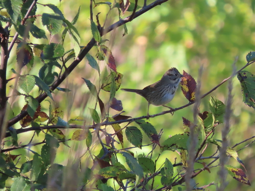
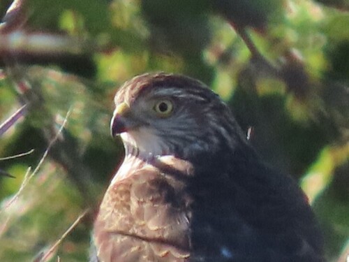
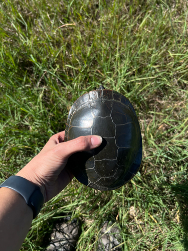
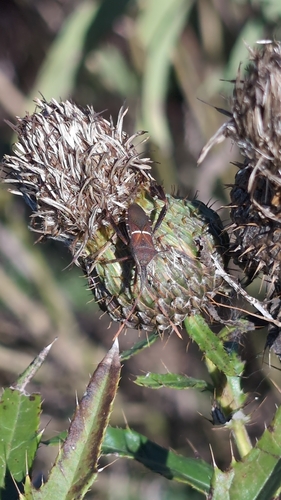
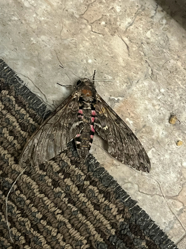
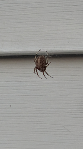

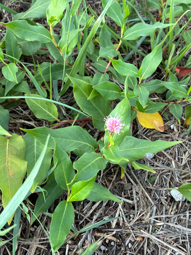
Research-grade observations from iNaturalist (within ~15 mi).
Nearest stream gauge
Events
Gallery
Sources
- • Wikipedia
- • US Census Bureau (ACS 5-year estimates)
- • NOAA National Weather Service
- • Wikidata
- • Open-Meteo Air Quality (CAMS)
- • NCES via Urban Institute Education Data Portal
- • GBIF (Global Biodiversity Information Facility)
- • iNaturalist
- • CDC PLACES
- • Open-Meteo / sunrise-sunset.org
- • Wikipedia Pageviews API
- • Open Library
- • NASA EONET