Browse / United States / Kansas / Wichita
Wichita
Kansascity

Wichita
Total population
400,993
Median home value
$212,900
Bachelor's+
Median income
$65,855
Founded
1868
Air quality index
Demographic figures from US Census Bureau · ACS 5-year estimates. Overview below cites Wikipedia and may reference a different year.
- Frost Advisory · MinorFrost Advisory issued October 16 at 9:51AM CDT until October 17 at 9:00AM CDT by NWS Wichita KS
Source: NOAA National Weather Service.
City facts
Sister cities
Facts from Wikidata (CC0).
Overview
Wichita is the most populous city in the U.S. state of Kansas and the county seat of Sedgwick County. As of the 2020 census, the population of the city was 397,532, and the Wichita metropolitan area had a population of 647,610. It is located in south-central Kansas along the Arkansas River.
Read more on WikipediaHistory & geography
History
Archaeological evidence indicates human habitation near the confluence of the Arkansas and Little Arkansas Rivers, the site of present-day Wichita, as early as 3000 BC. In 1541, a Spanish expedition led by explorer Francisco Vázquez de Coronado found the area populated by the Quivira, or Wichita, people. Conflict with the Osage in the 1750s drove the Wichita further south. Prior to European settlement of the region, the site was in the territory of the Kiowa. Claimed first by France as part of Louisiana and later acquired by the United States with the Louisiana Purchase in 1803, it became part of Kansas Territory in 1854 and then the state of Kansas in 1861. The Wichita people returned in 1863, driven from their land in Indian Territory by Confederate forces in the American Civil War, and established a settlement on the banks of the Little Arkansas. During this period, trader Jesse Chisholm established a trading post at the site, one of several along a trail extending south to Texas which became known as the Chisholm Trail. In 1867, after the war, the Wichita returned to Indian Territory. Business opportunities attracted area hunters and traders, and a new settlement began to form. That summer, Mead and others organized the Wichita Town Company, naming the settlement after the Wichita tribe. The Atchison, Topeka and Santa Fe Railway reached the city in 1872. As a result, Wichita became a railhead for the cattle drives, earning it the nickname "Cowtown". James Earp ran a brothel with his wife Nellie "Bessie" Ketchum. His brother Wyatt was likely a pimp, although historian Gary L. Roberts believes that he was an enforcer or bouncer. Local arrest records show that Nellie, and Earp's common-law wife Sally, managed a brothel there from early 1874 to the middle of…
Geography
Wichita is in south-central Kansas at the junction of Interstate 35 and U.S. Route 54. Part of the Midwestern United States, it is north of Oklahoma City, Oklahoma; southwest of Kansas City, Missouri; and east-southeast of Denver, Colorado. The city lies on the Arkansas River near the western edge of the Flint Hills in the Wellington-McPherson Lowlands region of the Great Plains. The area's topography is characterized by the broad alluvial plain of the Arkansas River valley and the moderately rolling slopes that rise to the higher lands on either side. The Arkansas follows a winding course, south-southeast through Wichita, roughly bisecting the city. It is joined along its course by several tributaries, all of which flow generally south. The largest is the Little Arkansas River, which enters the city from the north and joins the Arkansas immediately west of downtown. Further east lies Chisholm Creek, which joins the Arkansas in the far southern part of the city. According to the United States Census Bureau, the city has a total area of , of which are covered by water. As the core of the Wichita metropolitan area, the city is surrounded by suburbs. Bordering Wichita on the north are, from west to east, Valley Center, Park City, Kechi, and Bel Aire. Enclosed within east-central Wichita is Eastborough. Adjacent to the city's east side is Andover. McConnell Air Force Base is in the extreme southeast corner of the city. To the south, from east to west, lie Derby and Haysville. Goddard and Maize border Wichita to the west and northwest, respectively. The National Weather Service has a local office in Wichita, supporting 20 counties in Kansas. Wichita lies within the humid subtropical climate zone (Köppen Cfa), typically experiencing hot, humid summers and cold, dry…
Excerpted from the corresponding Wikipedia article (CC BY-SA).
Demographics & economy
Race & ethnicity
Source: US Census Bureau — American Community Survey, 5-year estimates.
Geography
Coordinates & boundaries from the US Census TIGER/Line shapefiles.
Climate
Current forecast
Forecast for Wichita, KS from NOAA NWS API.
Air quality
Current readings from Open-Meteo Air Quality API (Copernicus CAMS European reanalysis).
Industrial & pollution facilities
Natural hazard risk
Health (adults)
Age-adjusted prevalence estimates from CDC PLACES (latest release).
Walkability
Amenities nearby
Wildlife & biodiversity
Most-observed species
- Northern CardinalCardinalis cardinalis (Linnaeus, 1758) · Aves8,903
- American RobinTurdus migratorius Linnaeus, 1766 · Aves8,553
- Blue JayCyanocitta cristata (Linnaeus, 1758) · Aves7,807
- MallardAnas platyrhynchos Linnaeus, 1758 · Aves6,576
- European StarlingSturnus vulgaris Linnaeus, 1758 · Aves6,451
- Canada Goose (canadensis Group)Branta canadensis (Linnaeus, 1758) · Aves6,250
- Black-capped ChickadeePoecile atricapillus (Linnaeus, 1766) · Aves6,188
- Mourning DoveZenaida macroura (Linnaeus, 1758) · Aves5,741
Citizen-science & research observations from the Global Biodiversity Information Facility (GBIF).
Schools
Largest nearby schools
- East HighHigh · Wichita · 2,295 students · 15.8:1 ratio
- Southeast HighHigh · Wichita · 2,189 students · 17.9:1 ratio
- North HighHigh · Wichita · 2,074 students · 16.1:1 ratio
- Campus High HaysvilleHigh · Wichita · 1,893 students · 20.4:1 ratio
- South HighHigh · Wichita · 1,632 students · 13.9:1 ratio
- Northwest HighHigh · Wichita · 1,416 students · 16.3:1 ratio
- West HighHigh · Wichita · 1,370 students · 14.7:1 ratio
- Heights HighHigh · Wichita · 1,292 students · 15.8:1 ratio
Public K–12 schools within ~10 mi from Urban Institute Education Data Portal (NCES Common Core of Data, 2022).
Earthquake history
Most recent
- M 2.6 — 2025-11-305 km WSW of Danville, Kansas
- M 2.5 — 2025-08-236 km SSE of Spivey, Kansas
- M 3.36 — 2025-06-264 km SE of Braman, Oklahoma
- M 2.6 — 2025-04-217 km ESE of Marion, Kansas
- M 2.6 — 2025-03-255 km S of Milton, Kansas
- M 2.7 — 2024-09-256 km NE of Cedar Point, Kansas
Events from the USGS Earthquake Catalog (global) (FDSN Event Web Service).
Photos
Sights & places nearby
Notable people from here


People born within ~10 km, from Wikidata (CC0). Click any name for their Wikipedia article.
Nearby places in Kansas
- Eastborough4.8 mi away · pop. 919
- Oaklawn-Sunview6.2 mi away · pop. 2,789
- McConnell AFB6.2 mi away · pop. 1,907
- Bel Aire8 mi away · pop. 9,043
- Kechi8.4 mi away · pop. 2,901
- Maize8.5 mi away · pop. 6,824
- Haysville8.6 mi away · pop. 11,117
- Greenwich10.1 mi away · pop. 62
- Andover11.8 mi away · pop. 15,965
- Goddard11.8 mi away · pop. 6,030
- St. Marks12.1 mi away · pop. 156
- Colwich12.2 mi away · pop. 1,492
Geography & sun
Elevation, sunrise/sunset and daylight from Open-Meteo. Solar climatology from NASA POWER.
Nearby airports
Public attention
Pageview totals from the Wikimedia Pageviews API.
Books about Wichita
Search results from Open Library.
Recent natural events nearby
- Wildfire B.B, Osage, OklahomaWildfires · 2026-08-06 · 73 mi
- Wildfire BISON, Osage, OklahomaWildfires · 2026-08-21 · 79 mi
- Wildfire Burnt Canyon, Woodward, OklahomaWildfires · 2026-08-15 · 130 mi
- Wildfire GRACEMONT, Caddo, OklahomaWildfires · 2026-09-13 · 171 mi
- Wildfire 2690, Caddo, OklahomaWildfires · 2026-08-21 · 181 mi
- Wildfire WRIGHT, Hughes, OklahomaWildfires · 2026-08-29 · 184 mi
- Wildfire Black Kettle, Roger Mills, OklahomaWildfires · 2026-09-14 · 185 mi
- Wildfire Calvary Creek, Washita, OklahomaWildfires · 2026-09-15 · 197 mi
Wildfires, storms and other events from NASA EONET (last 12 months, within 250 mi).
Ground air-quality sensors
Recently spotted species
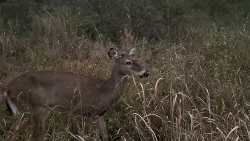
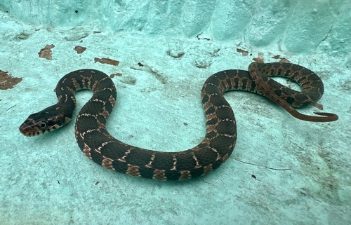
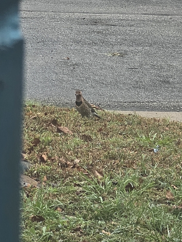
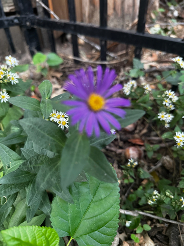
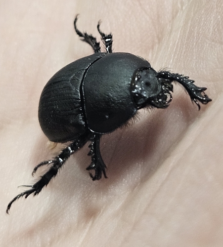
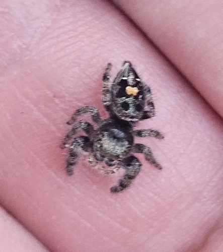
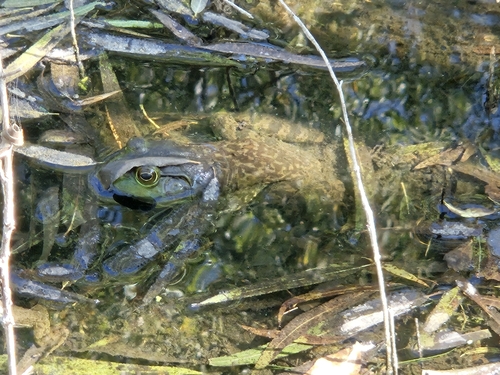
Research-grade observations from iNaturalist (within ~15 mi).
Nearest stream gauge
Live readings from USGS NWIS · measured 2026-06-27 11:45 UTC.
Events
Notable, recurring, and historical events associated with Wichita, sourced from Wikidata.
Source: Wikidata (CC0).
Gallery
Geotagged photos within ~6 miles of Wichita, from Wikimedia Commons contributors.
.jpg) 0.1 mi
0.1 mi.jpg) 0.1 mi
0.1 mi.jpg) 0.1 mi
0.1 mi.jpg) 0.1 mi
0.1 mi.jpg) 0.1 mi
0.1 mi.jpg) 0.1 mi
0.1 mi.jpg) 0.1 mi
0.1 mi.jpg) 0.1 mi
0.1 mi.jpg) 0.1 mi
0.1 mi.jpg) 0.1 mi
0.1 mi.jpg) 0.1 mi
0.1 mi.jpg) 0.1 mi
0.1 mi.jpg) 0.1 mi
0.1 mi.jpg) 0.1 mi
0.1 mi.jpg) 0.1 mi
0.1 mi.jpg) 0.1 mi
0.1 mi.jpg) 0.1 mi
0.1 mi.jpg) 0.1 mi
0.1 mi.jpg) 0.1 mi
0.1 mi.jpg) 0.1 mi
0.1 mi 0.1 mi
 0.1 mi
 0.1 mi
 0.1 mi
Photos via Wikimedia Commons — see each image page for license & attribution.
Sources
- • Wikipedia
- • US Census Bureau (ACS 5-year estimates)
- • NOAA National Weather Service
- • Wikimedia Commons
- • Wikidata
- • Open-Meteo Air Quality (CAMS)
- • USGS Earthquake Catalog (global feed)
- • USGS NWIS (water data)
- • NCES via Urban Institute Education Data Portal
- • GBIF (Global Biodiversity Information Facility)
- • iNaturalist
- • CDC PLACES
- • Open-Meteo / sunrise-sunset.org
- • Wikipedia Pageviews API
- • Open Library
- • NASA EONET