Browse / United States / Kentucky / Cynthiana
Cynthiana
Kentuckycity

Cynthiana
Total population
6,458
Median home value
$172,500
Bachelor's+
Median income
$54,647
Demographic figures from US Census Bureau · ACS 5-year estimates. Overview below cites Wikipedia and may reference a different year.
City facts
Overview
Cynthiana is a home rule-class city in Harrison County, Kentucky, in the United States. As of the 2020 census, Cynthiana had a population of 6,333. It is the seat of its county.
Read more on WikipediaHistory & geography
History
The settlement developed on both sides of the South Fork of the Licking River. It was named after Cynthia and Anna Harrison, daughters of Robert Harrison, who had donated land to establish the town center. Harrison County, on the other hand, was named after Colonel Benjamin Harrison, an early settler in the area who had served as sheriff of Bourbon County. Two Civil War battles were fought in Cynthiana. The first on July 17, 1862, was part of a cavalry raid into Kentucky (which stayed in the Union) by Confederate General John Hunt Morgan; the second, on June 11 and 12, 1864, resulted in Union defeat of Confederate forces during Morgan's last raid into the state. On January 23, 1877, an LL chondrite meteorite fell in Cynthiana. On March 2, 1997, the South Fork of the Licking River flooded, causing extensive damage in Cynthiana and neighboring communities. In early March 2020, near the beginning of the COVID-19 pandemic in the United States, Cynthiana was reported to have the first case of the disease diagnosed in Kentucky. Four more cases soon followed, and by March 12, most businesses, schools and churches closed in an effort to prevent further spread.
Geography
Cynthiana is located in southern Harrison County. U.S. Routes 27 and 62 pass through the city, passing west of the downtown area. US 27 leads north to Cincinnati and south to Paris, while US 62 leads northeast to Maysville and southwest to Georgetown. Lexington is to the southwest via US 27 or via Kentucky Route 353. According to the United States Census Bureau, the city has a total area of , of which are land and , or 1.09%, are water. The South Fork of the Licking River, a tributary of the Ohio River, flows south to north through the city, passing west of the downtown area. The climate in this area is characterized by hot, humid summers and generally mild to cool winters. According to the Köppen Climate Classification system, Cynthiana has a humid subtropical climate, abbreviated "Cfa" on climate maps.
Excerpted from the corresponding Wikipedia article (CC BY-SA).
Demographics & economy
Race & ethnicity
Source: US Census Bureau — American Community Survey, 5-year estimates.
Geography
Coordinates & boundaries from the US Census TIGER/Line shapefiles.
Climate
Current forecast
Forecast for Cynthiana, KY from NOAA NWS API.
Air quality
Industrial & pollution facilities
Natural hazard risk
Health (adults)
Walkability
Amenities nearby
Wildlife & biodiversity
Most-observed species
- Northern CardinalCardinalis cardinalis (Linnaeus, 1758) · Aves447
- Red-bellied WoodpeckerMelanerpes carolinus (Linnaeus, 1758) · Aves335
- Blue JayCyanocitta cristata (Linnaeus, 1758) · Aves326
- American CrowCorvus brachyrhynchos C.L.Brehm, 1822 · Aves304
- Tufted TitmouseBaeolophus bicolor (Linnaeus, 1766) · Aves304
- American RobinTurdus migratorius Linnaeus, 1766 · Aves284
- Mourning DoveZenaida macroura (Linnaeus, 1758) · Aves259
- Turkey VultureCathartes aura (Linnaeus, 1758) · Aves252
Citizen-science & research observations from the Global Biodiversity Information Facility (GBIF).
Schools
Earthquake history
Photos
Sights & places nearby
Notable people from here


People born within ~10 km, from Wikidata (CC0). Click any name for their Wikipedia article.
Nearby places in Kentucky
Geography & sun
Elevation, sunrise/sunset and daylight from Open-Meteo. Solar climatology from NASA POWER.
Nearby airports
Public attention
Pageview totals from the Wikimedia Pageviews API.
Books about Cynthiana
Search results from Open Library.
Recent natural events nearby
Ground air-quality sensors
Recently spotted species
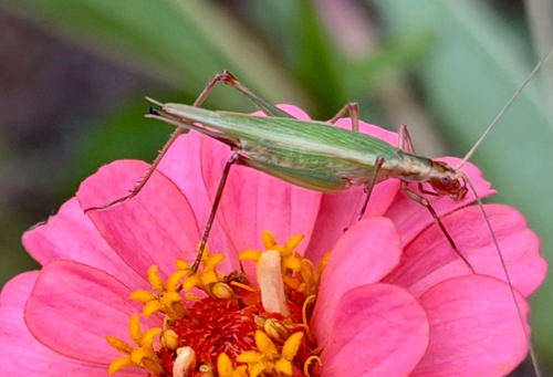
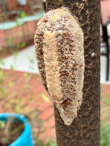
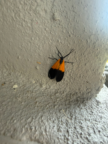
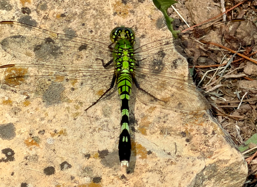
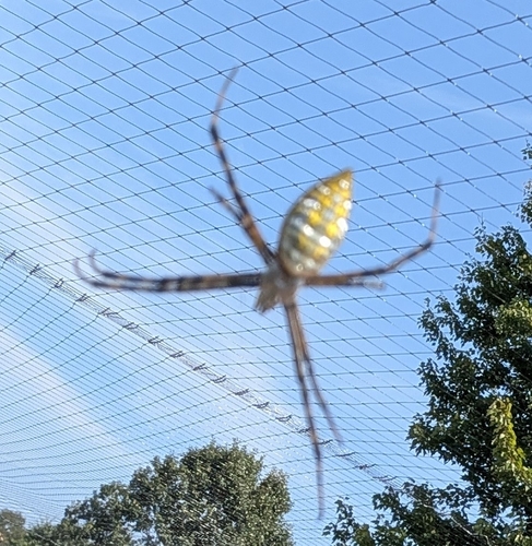
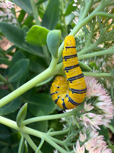
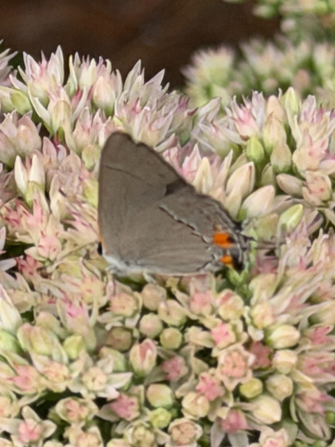
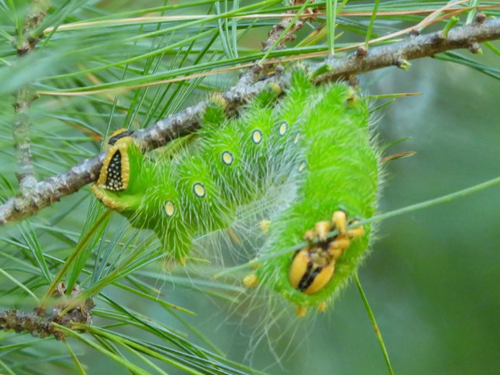
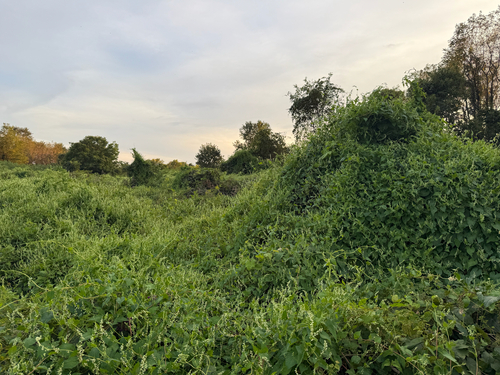
Research-grade observations from iNaturalist (within ~15 mi).
Nearest stream gauge
Events
Gallery
Sources
- • Wikipedia
- • US Census Bureau (ACS 5-year estimates)
- • NOAA National Weather Service
- • Wikidata
- • GBIF (Global Biodiversity Information Facility)
- • iNaturalist
- • Open-Meteo / sunrise-sunset.org
- • Wikipedia Pageviews API
- • Open Library