Browse / United States / Kentucky / Ezel
Ezel
KentuckyCDP
Total population
313
Median home value
$105,400
Bachelor's+
Median income
$41,000
Demographic figures from US Census Bureau · ACS 5-year estimates. Overview below cites Wikipedia and may reference a different year.
City facts
Facts from Wikidata (CC0).
Overview
Ezel is an unincorporated community and census-designated place (CDP) in Morgan County, Kentucky, United States. As of the 2020 census, it had a population of 209. It has a small post office, with the ZIP code 41425.
Read more on WikipediaHistory & geography
History
First incorporated in 1882, the town was given the name "Ezel", for a rock in the Bible, by its first postmaster, Eli Pieratt, when the post office opened in 1875. It is now home to Ezel Elementary School and the Blackwater Volunteer Fire Department.
Geography
Ezel lies along U.S. Route 460, west of the city of West Liberty, the county seat of Morgan County. Frenchburg is further west along US 460. The elevation of Ezel is . According to the U.S. Census Bureau, the Ezel CDP has a total area of , of which , or 0.45%, are water. Blackwater Creek runs along the southeast edge of the community, leading northeast to the Licking River near Kellacey.
Excerpted from the corresponding Wikipedia article (CC BY-SA).
Demographics & economy
Race & ethnicity
Source: US Census Bureau — American Community Survey, 5-year estimates.
Geography
Coordinates & boundaries from the US Census TIGER/Line shapefiles.
Climate
Current forecast
Forecast for Ezel, KY from NOAA NWS API.
Air quality
Industrial & pollution facilities
Natural hazard risk
Health (adults)
Walkability
Amenities nearby
Wildlife & biodiversity
Most-observed species
- American CrowCorvus brachyrhynchos C.L.Brehm, 1822 · Aves1,058
- Red-eyed VireoVireo olivaceus (Linnaeus, 1766) · Aves867
- Hooded WarblerSetophaga citrina (Boddaert, 1783) · Aves813
- Carolina WrenThryothorus ludovicianus (Latham, 1790) · Aves764
- Carolina ChickadeePoecile carolinensis (Audubon, 1834) · Aves694
- Black-and-white WarblerMniotilta varia (Linnaeus, 1766) · Aves685
- Tufted TitmouseBaeolophus bicolor (Linnaeus, 1766) · Aves672
- Blue JayCyanocitta cristata (Linnaeus, 1758) · Aves665
Citizen-science & research observations from the Global Biodiversity Information Facility (GBIF).
Schools
Largest nearby schools
- Morgan County High SchoolHigh · West Liberty · 598 students · 18.7:1 ratio
- Morgan County Middle SchoolMiddle · West Liberty · 413 students · 15.3:1 ratio
- Morgan Central Elementary SchoolElementary · West Liberty · 293 students · 14.7:1 ratio
- Ezel Elementary SchoolElementary · Ezel · 120 students · 12:1 ratio
- Woodsbend Youth Development CenterHigh · West Liberty · 25 students · 8.3:1 ratio
- Morgan County Area Technology CenterHigh · West Liberty
- Eastern KY Education CenterOther · West Liberty
Public K–12 schools within ~10 mi from Urban Institute Education Data Portal (NCES Common Core of Data, 2022).
Earthquake history
Most recent
- M 3.09 — 2025-12-2811 km ENE of Lancaster, Kentucky
- M 2.74 — 2024-05-2218 km SSE of Hyden, Kentucky
- M 2.51 — 2024-01-283 km SW of Old Washington, Kentucky
- M 2.63 — 2023-08-0411 km ENE of Lancaster, Kentucky
- M 3.04 — 2021-12-122 km E of Manchester, Ohio
- M 2.78 — 2017-12-176 km ENE of Germantown, Kentucky
Events from the USGS Earthquake Catalog (global) (FDSN Event Web Service).
Photos
Sights & places nearby
Notable people from here
People born within ~10 km, from Wikidata (CC0). Click any name for their Wikipedia article.
Geography & sun
Elevation, sunrise/sunset and daylight from Open-Meteo. Solar climatology from NASA POWER.
Nearby airports
Public attention
Pageview totals from the Wikimedia Pageviews API.
Books about this place
Recent natural events nearby
Ground air-quality sensors
Recently spotted species
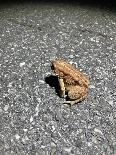
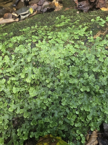
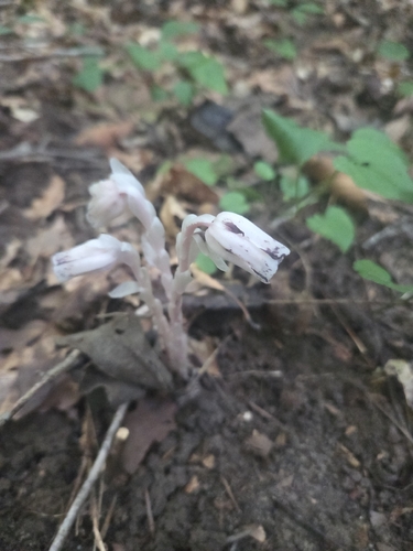
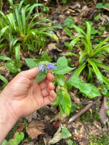
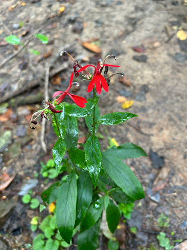
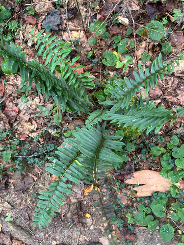
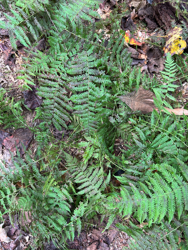
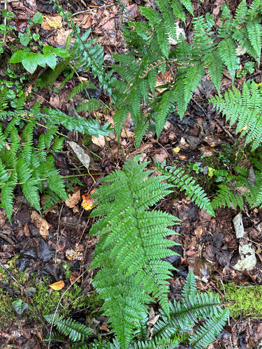
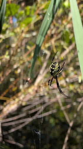
Research-grade observations from iNaturalist (within ~15 mi).
Nearest stream gauge
Events
Gallery
Sources
- • Wikipedia
- • US Census Bureau (ACS 5-year estimates)
- • NOAA National Weather Service
- • Wikidata
- • USGS Earthquake Catalog (global feed)
- • NCES via Urban Institute Education Data Portal
- • GBIF (Global Biodiversity Information Facility)
- • iNaturalist
- • Open-Meteo / sunrise-sunset.org
- • Wikipedia Pageviews API