Browse / United States / Kentucky / Fairview
Fairview
KentuckyCDP

Fairview
Total population
226
Demographic figures from US Census Bureau · ACS 5-year estimates. Overview below cites Wikipedia and may reference a different year.
City facts
Overview
Fairview is a small census-designated place on the boundary between Christian and Todd counties in the western part of the U.S. state of Kentucky. As of the 2020 census, the population was 258, down from the 2010 census total of 286, with 186 living in Christian County and 100 living in Todd County. It is chiefly notable as the birthplace of Jefferson Davis, later President of the Confederate States of America, and as the location of the Jefferson Davis State Historic Site.
Read more on WikipediaHistory & geography
History
The community was likely first established by Samuel Davis, a Revolutionary War veteran who settled on the Todd County side around 1793. Davis opened the first post office there on October 1, 1802, naming the locale "Davisburg." His son, Jefferson Davis, the future President of the Confederate States of America, was born here on June 3, 1808. The Davis family remained in the area until 1810, when they relocated to the Bayou Teche in St. Mary Parish, Louisiana. The community was later known as "Georgetown" after local tavern keeper George Nichols. The town was incorporated as "Fairview" on February 6, 1846; the Fairview Post Office opened on the Christian County side on June 8. The post office moved back and forth between Christian and Todd counties over the years; in the early 1980s it was located on the Christian County side. In 1917, construction of the Jefferson Davis State Historic Site began. It was completed in 1924.
Geography
Fairview is located along U.S. Route 68 / Kentucky Route 80, about east of Hopkinsville and west of Elkton. The original route of U.S. 68 passed through the town; the new route passes less than north of the town, and the original route is now called Jefferson Davis Road. The community is part of the Clarksville, TN–KY Metropolitan Statistical Area.
Excerpted from the corresponding Wikipedia article (CC BY-SA).
Demographics & economy
Geography
Coordinates & boundaries from the US Census TIGER/Line shapefiles.
Climate
Current forecast
Forecast for Fairview, KY from NOAA NWS API.
Air quality
Industrial & pollution facilities
Natural hazard risk
Health (adults)
Walkability
Amenities nearby
Wildlife & biodiversity
Schools
Earthquake history
Photos
Sights & places nearby
Notable people from here


People born within ~10 km, from Wikidata (CC0). Click any name for their Wikipedia article.
Nearby places in Kentucky
Geography & sun
Elevation, sunrise/sunset and daylight from Open-Meteo. Solar climatology from NASA POWER.
Nearby airports
Public attention
Pageview totals from the Wikimedia Pageviews API.
Books about Fairview

Search results from Open Library.
Recent natural events nearby
Ground air-quality sensors
Recently spotted species
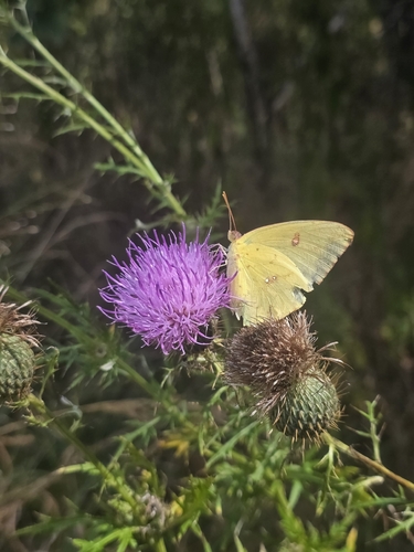
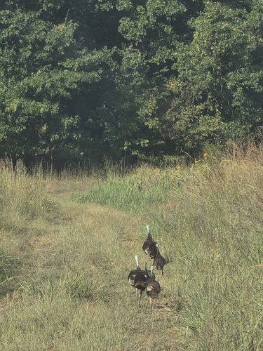
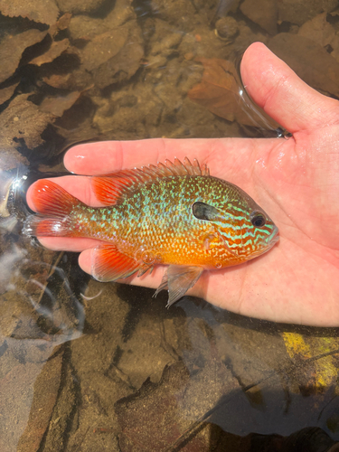
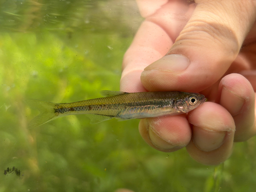
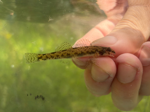
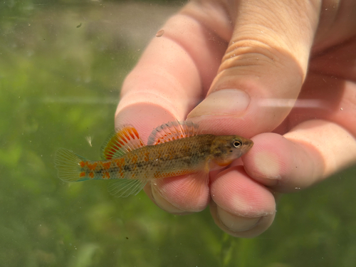
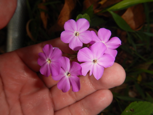
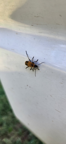
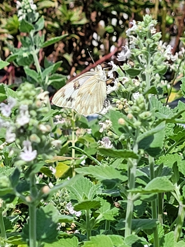
Research-grade observations from iNaturalist (within ~15 mi).
Nearest stream gauge
Events
Gallery
Sources
- • Wikipedia
- • NOAA National Weather Service
- • Wikidata
- • iNaturalist
- • Open-Meteo / sunrise-sunset.org
- • Wikipedia Pageviews API
- • Open Library