Browse / United States / Kentucky / Kuttawa
Kuttawa
Kentuckycity

Kuttawa
Total population
588
Median home value
$292,200
Bachelor's+
Median income
$78,214
Demographic figures from US Census Bureau · ACS 5-year estimates. Overview below cites Wikipedia and may reference a different year.
City facts
Facts from Wikidata (CC0).
Overview
Kuttawa is a home rule-class city in Lyon County, Kentucky, United States. As of the 2020 census, Kuttawa had a population of 629.
Read more on WikipediaHistory & geography
History
Former Ohio governor Charles Anderson founded the town on land he purchased in 1866. Originally spelled "Cuttawa" and "Kittawa", Kuttawa seems to have been the name of a Cherokee village near the site, whose meaning is a matter of dispute: it has been variously translated as "beautiful", "city in the woods", and "great wilderness". the same year it received its post office. In the early 1960s, the Tennessee Valley Authority constructed a dam across the Cumberland River at Grand Rivers, forming Lake Barkley. Eddyville and Kuttawa were both moved from their original locations owing to the impounded lake.
Geography
Kuttawa is located in north-central Lyon County and is bordered to the east by Eddyville and to the south by Lake Barkley, an impoundment of the Cumberland River, just upstream from Barkley Dam. The city is concentrated primarily in an area adjacent to the western intersection of U.S. Route 62 and Kentucky Route 295, though its municipal boundaries extend southwestward along US 62 and Kentucky Route 810, northeastward to the intersection of US 62 and the merged Interstate 24/Interstate 69, and along KY 295 as it follows the lakeshore to its eastern intersection with US 62. The Land Between the Lakes National Recreation Area lies along the lakeshore opposite Kuttawa. Mineral Mound State Park borders the city to the east. Both Barkley Dam and Kentucky Dam (the latter of which impounds the Tennessee River) are located southwest of Kuttawa. By highway, Kuttawa is east of Paducah, northwest of Hopkinsville, and southwest of Madisonville. According to the United States Census Bureau, the city of Kuttawa has a total area of , of which are land and , or 27.40%, are water.
Excerpted from the corresponding Wikipedia article (CC BY-SA).
Demographics & economy
Race & ethnicity
Source: US Census Bureau — American Community Survey, 5-year estimates.
Geography
Coordinates & boundaries from the US Census TIGER/Line shapefiles.
Climate
Current forecast
Forecast for Kuttawa, KY from NOAA NWS API.
Air quality
Industrial & pollution facilities
Natural hazard risk
Health (adults)
Walkability
Amenities nearby
Wildlife & biodiversity
Most-observed species
- American CrowCorvus brachyrhynchos C.L.Brehm, 1822 · Aves2,486
- Northern CardinalCardinalis cardinalis (Linnaeus, 1758) · Aves2,171
- Ring-billed GullLarus delawarensis Ord, 1815 · Aves2,045
- Tufted TitmouseBaeolophus bicolor (Linnaeus, 1766) · Aves1,991
- Blue JayCyanocitta cristata (Linnaeus, 1758) · Aves1,979
- Great Blue/Cocoi HeronArdea herodias Linnaeus, 1758 · Aves1,901
- Red-bellied WoodpeckerMelanerpes carolinus (Linnaeus, 1758) · Aves1,771
- Turkey VultureCathartes aura (Linnaeus, 1758) · Aves1,747
Citizen-science & research observations from the Global Biodiversity Information Facility (GBIF).
Schools
Earthquake history
Most recent
- M 2.59 — 2023-08-233 km ENE of Wilson City, Missouri
- M 2.52 — 2023-06-037 km N of Nebo, Kentucky
- M 2.51 — 2023-05-307 km W of Calhoun, Kentucky
- M 3.03 — 2023-05-306 km W of Calhoun, Kentucky
- M 2.77 — 2020-04-251 km E of Wilson City, Missouri
- M 2.61 — 2020-02-275 km SW of Bremen, Kentucky
Events from the USGS Earthquake Catalog (global) (FDSN Event Web Service).
Photos
Sights & places nearby
Notable people from here


People born within ~10 km, from Wikidata (CC0). Click any name for their Wikipedia article.
Nearby places in Kentucky
Geography & sun
Elevation, sunrise/sunset and daylight from Open-Meteo. Solar climatology from NASA POWER.
Nearby airports
Public attention
Pageview totals from the Wikimedia Pageviews API.
Books about Kuttawa
Search results from Open Library.
Recent natural events nearby
Ground air-quality sensors
Recently spotted species
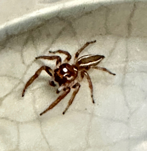
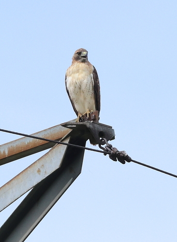
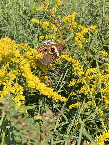
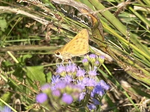
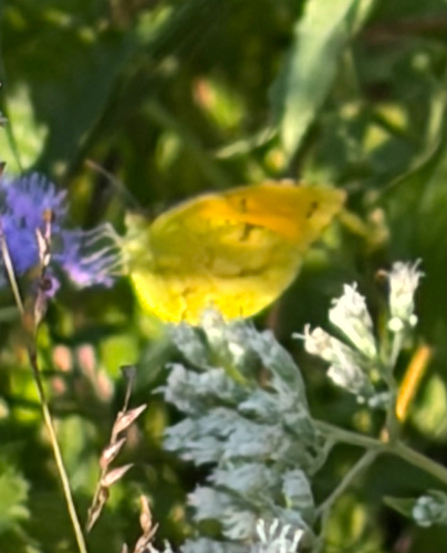
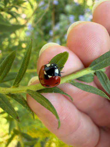
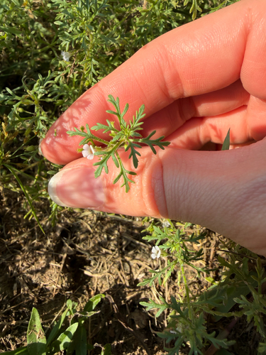
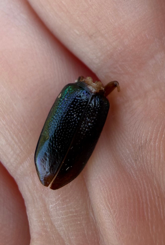
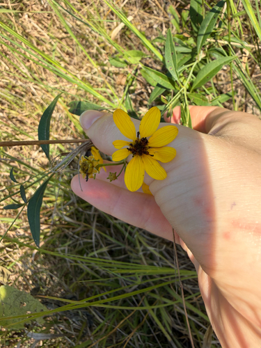
Research-grade observations from iNaturalist (within ~15 mi).
Nearest stream gauge
Events
Gallery
Sources
- • Wikipedia
- • US Census Bureau (ACS 5-year estimates)
- • NOAA National Weather Service
- • Wikidata
- • USGS Earthquake Catalog (global feed)
- • GBIF (Global Biodiversity Information Facility)
- • iNaturalist
- • Open-Meteo / sunrise-sunset.org
- • Wikipedia Pageviews API
- • Open Library