Browse / United States / Kentucky / Seneca Gardens
Seneca Gardens
Kentuckycity

Seneca Gardens
Total population
586
Median home value
$556,100
Bachelor's+
Median income
$120,000
Founded
1941
Demographic figures from US Census Bureau · ACS 5-year estimates. Overview below cites Wikipedia and may reference a different year.
City facts
Facts from Wikidata (CC0).
Overview
Seneca Gardens is a home rule-class city in Jefferson County, Kentucky, United States, and a part of the Louisville Metro government. With the single exception of the Keneseth Israel Synagogue, all buildings within city limits are residential. As of the 2020 census, Seneca Gardens had a population of 674.
Read more on WikipediaHistory & geography
History
The site of the present city was originally part of Farmington, the 1810 estate of the Hon. John Speed and his second wife Lucy Gilmer Fry. Abraham Lincoln was a friend of the judge's son Joshua and spent three weeks at Farmington in 1841 while courting Mary Todd of Lexington. Lincoln would later name Joshua his Attorney General during his second administration. His descendants established the Discher Land Company and participated with Weigel in the development of Broadmeade and the present community of Seneca Gardens in 1922. Owing to Weigel's mortgages, however, the 1929 stock market crash ruined him, and his share of the land fell to his creditors.
Excerpted from the corresponding Wikipedia article (CC BY-SA).
Demographics & economy
Race & ethnicity
Source: US Census Bureau — American Community Survey, 5-year estimates.
Geography
Coordinates & boundaries from the US Census TIGER/Line shapefiles.
Climate
Current forecast
Forecast for Seneca Gardens, KY from NOAA NWS API.
Air quality
Industrial & pollution facilities
Natural hazard risk
Health (adults)
Walkability
Amenities nearby
Wildlife & biodiversity
Schools
Largest nearby schools
- Marion C. Moore SchoolHigh · Louisville · 2,320 students · 18.3:1 ratio
- Eastern HighHigh · Middletown · 2,036 students · 18.2:1 ratio
- Pathfinder School of InnovationOther · Louisville · 2,030 students · 28.2:1 ratio
- Ballard HighHigh · Louisville · 2,014 students · 18.6:1 ratio
- Louisville Male HighHigh · Louisville · 1,991 students · 21.2:1 ratio
- duPont Manual HighHigh · Louisville · 1,929 students · 18.2:1 ratio
- Fern Creek HighHigh · Louisville · 1,688 students · 15.6:1 ratio
- Atherton HighHigh · Louisville · 1,461 students · 18.3:1 ratio
Public K–12 schools within ~10 mi from Urban Institute Education Data Portal (NCES Common Core of Data, 2022).
Earthquake history
Photos
Sights & places nearby
Notable people from here


People born within ~10 km, from Wikidata (CC0). Click any name for their Wikipedia article.
Nearby places in Kentucky
- Strathmoor Village0.5 mi away
- Kingsley0.5 mi away · pop. 442
- Strathmoor Manor0.7 mi away
- Meadowview Estates2.2 mi away
- Watterson Park2.3 mi away · pop. 734
- Bellewood2.4 mi away · pop. 308
- Brownsboro Village2.5 mi away · pop. 325
- St. Matthews2.6 mi away · pop. 17,577
- Druid Hills2.7 mi away · pop. 320
- Mockingbird Valley2.9 mi away
- Beechwood Village3.2 mi away · pop. 1,292
- Audubon Park3.2 mi away · pop. 1,707
Geography & sun
Elevation, sunrise/sunset and daylight from Open-Meteo. Solar climatology from NASA POWER.
Nearby airports
Public attention
Pageview totals from the Wikimedia Pageviews API.
Books about this place
Recent natural events nearby
Ground air-quality sensors
Recently spotted species

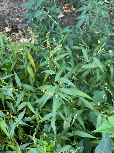
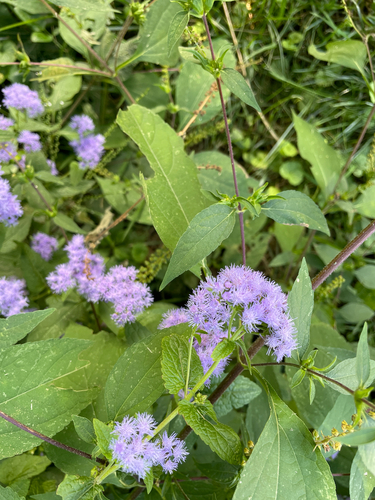
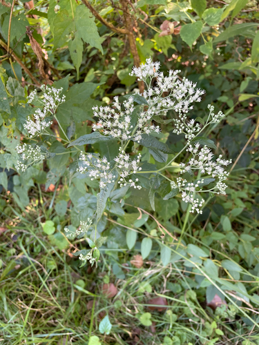
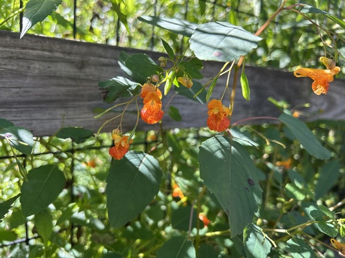
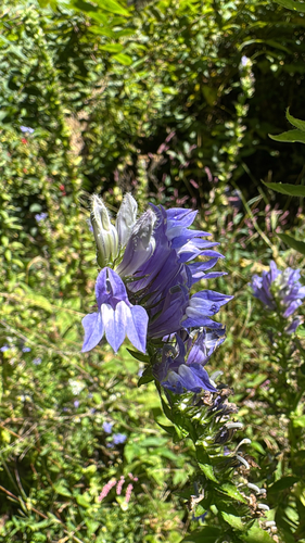
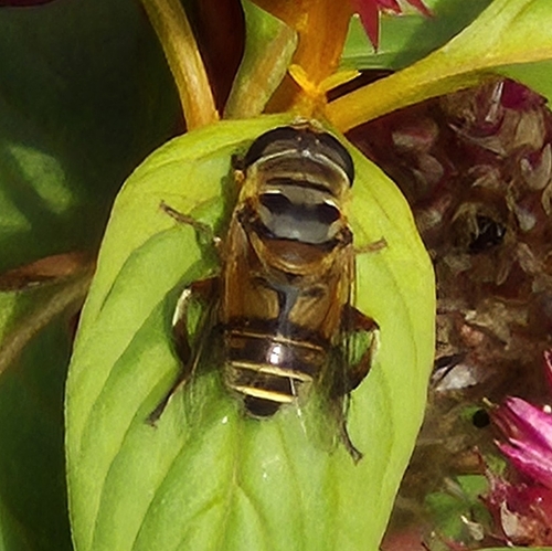
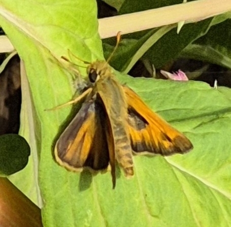
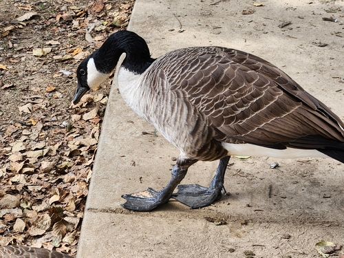
Research-grade observations from iNaturalist (within ~15 mi).
Nearest stream gauge
Events
Gallery
Sources
- • Wikipedia
- • US Census Bureau (ACS 5-year estimates)
- • NOAA National Weather Service
- • Wikidata
- • NCES via Urban Institute Education Data Portal
- • iNaturalist
- • Open-Meteo / sunrise-sunset.org
- • Wikipedia Pageviews API