Browse / United States / Kentucky / Stanford
Stanford
Kentuckycity

Stanford
Total population
3,643
Median home value
$155,000
Bachelor's+
Median income
$49,337
Demographic figures from US Census Bureau · ACS 5-year estimates. Overview below cites Wikipedia and may reference a different year.
City facts
Overview
Stanford is a home rule-class city in Lincoln County, Kentucky, United States. It is one of the oldest settlements in Kentucky, having been founded in 1775. Its population was 3,487 at the 2010 census and an estimated 3,702 in 2024. It is the county seat of Lincoln County. Stanford is part of the Danville Micropolitan Statistical Area.
Read more on WikipediaHistory & geography
History
Stanford was founded in 1775 by Benjamin Logan as "St. Asaph"; the early settlement was also known simply as "Logan's Fort". The site of the fort is about one mile west of the courthouse at the center of town. The name "Fort Logan" is still used to this day by local businesses, including the Fort Logan Hospital and Standing Fort Collectibles. The main street was built on what was originally a buffalo trail. The name "Stanford" may have come from "Standing Fort", a name given to Fort Logan because it survived multiple attacks by British-led Native Americans during the American Revolution. Alternately, it may have been named for Stamford, England. Although it was one of the smaller pioneer forts, it never fell to an attack. In 1781, the original settlement expanded when Benjamin Logan donated part of his own land as the site for a courthouse. The county court continued to meet at Fort Harrod (now Harrodsburg) until 1785, when Mercer County was established. By 1786 Stanford had received its charter, making it one of the first towns in the former (1776–1780) Kentucky County, Virginia, with a formal charter. In 1787 the courthouse opened in a building made of logs. It has been expanded and upgraded over time, but the courthouse remains on the same site. Unlike most courthouses in Kentucky, it has never suffered from a fire or other major loss of records. Lincoln County has all its original records and archives dating from November 1789, making it one of the more complete archives in Kentucky. Among its original land deeds kept on vellum are deeds granting land to both Daniel Boone and Simon Kenton. The first recorded church in Stanford was a Presbyterian church built in 1790, reflecting the staunch Presbyterian beliefs of the Logan family. The building still stands and…
Geography
Stanford is located in south-central Kentucky in the southernmost extent of the Bluegrass region along the Southern Knobs in northern Lincoln County. U.S. Route 27 passes through the east side of the city, leading northeast to Lancaster and to Lexington, and south to Somerset. U.S. Route 150 passes through the northern side of the city, leading northwest to Danville and southeast to Mount Vernon. According to the United States Census Bureau, Stanford has a total area of , of which , or 0.85%, are water.
Excerpted from the corresponding Wikipedia article (CC BY-SA).
Demographics & economy
Race & ethnicity
Source: US Census Bureau — American Community Survey, 5-year estimates.
Geography
Coordinates & boundaries from the US Census TIGER/Line shapefiles.
Climate
Current forecast
Forecast for Stanford, KY from NOAA NWS API.
Air quality
Industrial & pollution facilities
Natural hazard risk
Health (adults)
Walkability
Amenities nearby
Wildlife & biodiversity
Schools
Earthquake history
Photos
Sights & places nearby
Notable people from here
Nearby places in Kentucky
- Lancaster7.2 mi away · pop. 4,013
- Junction City8.2 mi away
- Hustonville9.3 mi away
- Crab Orchard9.5 mi away · pop. 739
- Danville9.9 mi away
- Perryville18.1 mi away
- Harrodsburg19.5 mi away
- High Bridge21 mi away
- Mount Vernon21.5 mi away · pop. 2,398
- Richmond23.9 mi away · pop. 34,585
- Wilmore24 mi away
- Science Hill24.7 mi away · pop. 647
Geography & sun
Elevation, sunrise/sunset and daylight from Open-Meteo. Solar climatology from NASA POWER.
Nearby airports
Public attention
Pageview totals from the Wikimedia Pageviews API.
Books about Stanford

Search results from Open Library.
Recent natural events nearby
Ground air-quality sensors
Recently spotted species
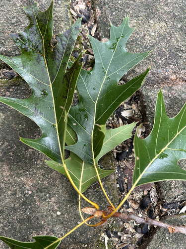



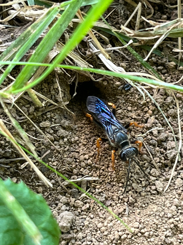
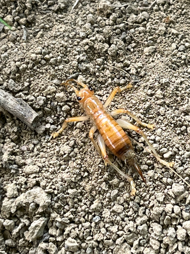

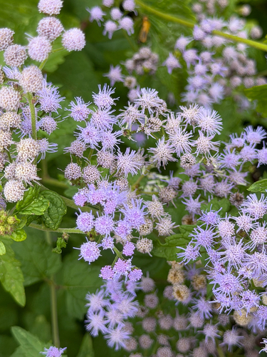

Research-grade observations from iNaturalist (within ~15 mi).
Nearest stream gauge
Events
Gallery
Sources
- • Wikipedia
- • US Census Bureau (ACS 5-year estimates)
- • NOAA National Weather Service
- • iNaturalist
- • Open-Meteo / sunrise-sunset.org
- • Wikipedia Pageviews API
- • Open Library