Browse / United States / Kentucky / West Point
West Point
Kentuckycity

West Point
Total population
1,025
Median home value
$91,000
Bachelor's+
Median income
$37,449
Founded
1789
Demographic figures from US Census Bureau · ACS 5-year estimates. Overview below cites Wikipedia and may reference a different year.
- Heat Advisory · ModerateHeat Advisory issued September 18 at 12:47PM EDT until September 19 at 8:00PM EDT by NWS Louisville KY
Source: NOAA National Weather Service.
City facts
Facts from Wikidata (CC0).
Overview
West Point is a home rule-class city in Hardin County, Kentucky, United States, near the edge of Fort Knox military reservation on Dixie Highway. It is located in a former meander bend of the Ohio River. The population was 952 as of the 2020 Census, up from 797 from the 2010 census, but still down from 1,100 at the 2000 census.
Read more on WikipediaHistory & geography
History
West Point was founded by pioneer James Young, who built a cabin at the site in 1789 and, in 1797, built a brick house and inn that is still standing today. In 1803, Lewis and Clark passed nearby and recruited West Point citizen John Shields to join their Corps of Discovery. West Point sits at the confluence of the Ohio and Salt rivers, a strategic position that led Union forces to construct a fort here during the Civil War to protect their supply routes. Fort Duffield is the state's largest and best-preserved earthen fortification from the period. West Point also retains many of its other historic resources, and a large portion of the community is listed in the National Register of Historic Places as a historic district. One of the newest preservation projects in West Point is the rehabilitation of the West Point Independent Colored School (1926), one of the "Rosenwald Schools" built by philanthropist Julius Rosenwald to educate African-Americans in rural areas. Plans call for using the one-room school as a visitor, educational, and research facility. West Point commemorated the bicentennial of Lewis and Clark's visit with a heritage festival that celebrated local history and drew heritage tourists. Year-round, Fort Duffield is an important tourist destination, and the city recently secured a grant to fund walking trails at the site. West Point was a childhood residence of the late Louisiana Governor James A. Noe Sr., a wealthy oilman and landowner.
Geography
West Point is located at the northern end of Hardin County at (37.991543, -85.954540), at the confluence of the Ohio and Salt rivers. The Dixie Highway (U.S. Routes 31W and 60) passes through the city just east of the downtown, leading northeast to Louisville and south to Elizabethtown, the Hardin County seat. Fort Duffield Park is located in the southern part of the city, with the remains of the fort sitting on top of a hill that rises above the downtown. The city is bordered to the south by the northern end of Fort Knox. According to the United States Census Bureau, the city of West Point has a total area of , all land.
Excerpted from the corresponding Wikipedia article (CC BY-SA).
Demographics & economy
Race & ethnicity
Source: US Census Bureau — American Community Survey, 5-year estimates.
Geography
Coordinates & boundaries from the US Census TIGER/Line shapefiles.
Climate
Current forecast
Forecast for West Point, KY from NOAA NWS API.
Air quality
Industrial & pollution facilities
Natural hazard risk
Health (adults)
Walkability
Amenities nearby
Wildlife & biodiversity
Schools
Earthquake history
Photos
Sights & places nearby
Notable people from here


People born within ~10 km, from Wikidata (CC0). Click any name for their Wikipedia article.
Geography & sun
Elevation, sunrise/sunset and daylight from Open-Meteo. Solar climatology from NASA POWER.
Nearby airports
Public attention
Pageview totals from the Wikimedia Pageviews API.
Books about West Point


Search results from Open Library.
Recent natural events nearby
Ground air-quality sensors
Recently spotted species

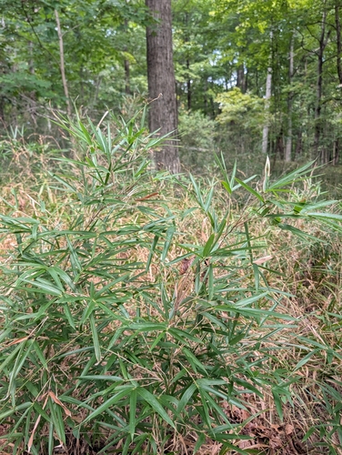
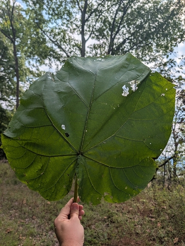
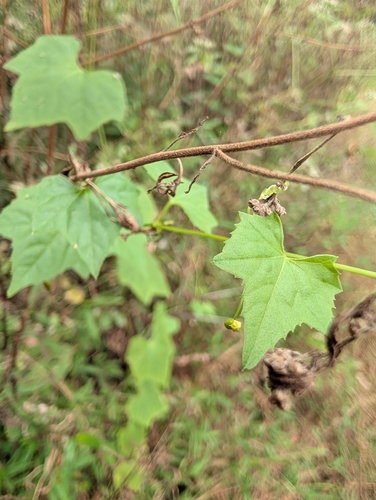
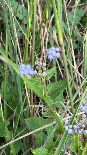
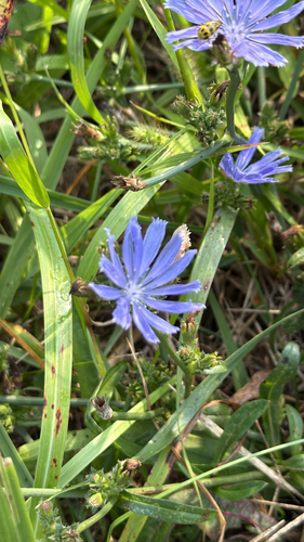
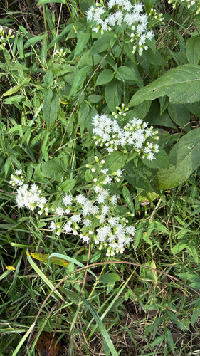
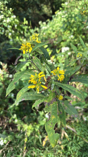

Research-grade observations from iNaturalist (within ~15 mi).
Nearest stream gauge
Events
Gallery
Sources
- • Wikipedia
- • US Census Bureau (ACS 5-year estimates)
- • NOAA National Weather Service
- • Wikidata
- • iNaturalist
- • Open-Meteo / sunrise-sunset.org
- • Wikipedia Pageviews API
- • Open Library