Browse / United States / Louisiana / Convent
Convent
LouisianaCDP

Convent
Total population
637
Median home value
$0
Bachelor's+
Median income
$0
Demographic figures from US Census Bureau · ACS 5-year estimates. Overview below cites Wikipedia and may reference a different year.
City facts
Facts from Wikidata (CC0).
Overview
Convent is a census-designated place in and the parish seat of St. James Parish, Louisiana, United States. It has been the parish seat since 1869. It is part of the New Orleans metropolitan area.
Read more on WikipediaHistory & geography
History
The area now known as Convent was originally settled between 1722 and 1739 and called Baron. The town’s name derives from the Convent of the Sacred Heart, established in 1825 by the Religious of the Sacred Heart, who operated a girls’ school until 1932. St. Michael Parish, founded in 1809, is among the oldest Catholic parishes in Louisiana. The present church, built in 1833 and enlarged in the 1870s, features Romanesque and Gothic architectural elements and includes a Lourdes Grotto constructed in 1876. The church and its associated historic district are listed on the National Register of Historic Places. Jefferson College, chartered in 1831 and opened in 1834, operated under several names before closing in 1928. The campus was occupied by Union troops during the Civil War and later donated to the Marist Fathers. In 1931, it became the Manresa House of Retreats, a Jesuit retreat center that remains active today. The main building, rebuilt after an 1842 fire, is an example of Greek Revival architecture. The community’s history is closely tied to sugar plantation culture, and records indicate that both the convent and college relied on enslaved labor during the antebellum period. On February 23, 2016, an EF-3 tornado struck the area, causing severe damage at the Sugar Hill RV Park, killing two people and injuring dozens.
Geography
Convent is located on the east bank of the Mississippi River in St. James Parish, Louisiana, at . The census-designated place covers , of which is land and is water. Its average elevation is about above sea level. Convent lies approximately west of New Orleans and southeast of Baton Rouge, accessible via Louisiana Highway 44 and Louisiana Highway 3125. The area has a humid subtropical climate, typical of southern Louisiana.
Excerpted from the corresponding Wikipedia article (CC BY-SA).
Demographics & economy
Race & ethnicity
Source: US Census Bureau — American Community Survey, 5-year estimates.
Geography
Coordinates & boundaries from the US Census TIGER/Line shapefiles.
Climate
Current forecast
Forecast for Convent, LA from NOAA NWS API.
Air quality
Industrial & pollution facilities
Natural hazard risk
Health (adults)
Age-adjusted prevalence estimates from CDC PLACES (latest release).
Walkability
Amenities nearby
Wildlife & biodiversity
Schools
Largest nearby schools
- Lutcher High SchoolHigh · Lutcher · 1,043 students · 16:1 ratio
- Paulina Elementary SchoolElementary · Paulina · 774 students · 15.2:1 ratio
- St. James High SchoolHigh · Vacherie · 634 students · 13.5:1 ratio
- Gramercy Elementary SchoolMiddle · Gramercy · 410 students · 14.6:1 ratio
- Vacherie Elementary SchoolElementary · Vacherie · 386 students · 13.3:1 ratio
- Sixth Ward Elementary SchoolMiddle · Vacherie · 290 students · 12.1:1 ratio
Public K–12 schools within ~10 mi from Urban Institute Education Data Portal (NCES Common Core of Data, 2022).
Earthquake history
Photos
Sights & places nearby
Notable people from here


People born within ~10 km, from Wikidata (CC0). Click any name for their Wikipedia article.
Geography & sun
Nearby airports
Public attention
Books about this place
Recent natural events nearby
- Wildfire Jackson - Hwy 90, Jackson, MississippiWildfires · 2026-08-16 · 143 mi
- Prescribed Fire RX CALV BU 104-108, Vernon, LouisianaWildfires · 2026-09-16 · 154 mi
- Wildfire RAY COAKER, Washington, AlabamaWildfires · 2026-09-09 · 176 mi
- Wildfire Star Lake, Jefferson, TexasWildfires · 2026-09-11 · 202 mi
- Wildfire Pine Tree Rd, Union, ArkansasWildfires · 2026-08-20 · 239 mi
Wildfires, storms and other events from NASA EONET (last 12 months, within 250 mi).
Ground air-quality sensors
Recently spotted species
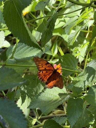
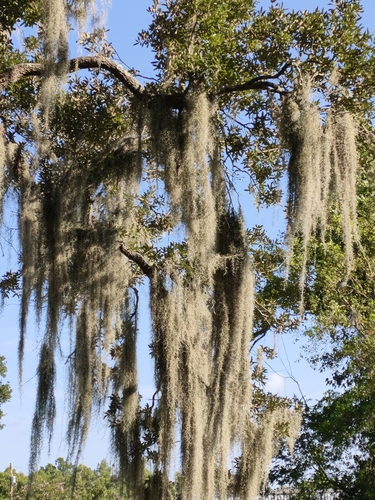
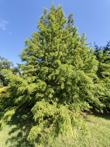

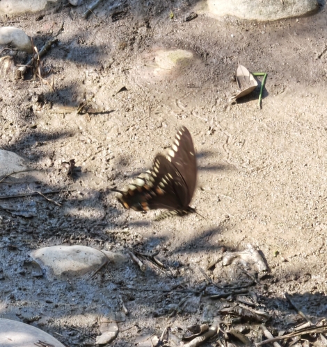
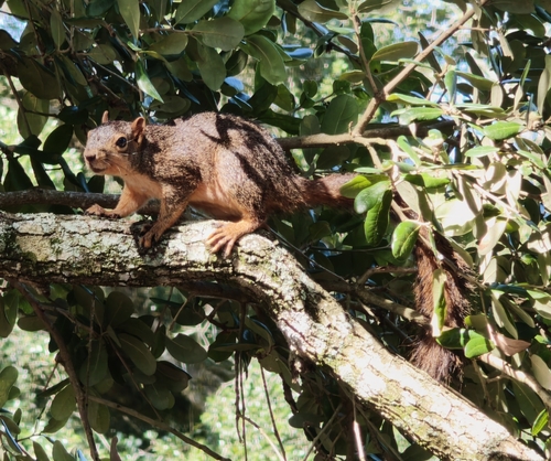
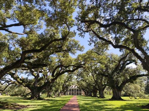
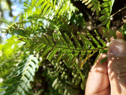
Research-grade observations from iNaturalist (within ~15 mi).
Nearest stream gauge
Live readings from USGS NWIS · measured 2026-09-18 11:15 UTC.
Events
Gallery
Sources
- • Wikipedia
- • US Census Bureau (ACS 5-year estimates)
- • NOAA National Weather Service
- • Wikidata
- • USGS NWIS (water data)
- • NCES via Urban Institute Education Data Portal
- • iNaturalist
- • CDC PLACES
- • NASA EONET