Browse / United States / Louisiana / Reserve
Reserve
LouisianaCDP

Reserve
Total population
7,791
Median home value
$154,100
Bachelor's+
Median income
$55,450
Demographic figures from US Census Bureau · ACS 5-year estimates. Overview below cites Wikipedia and may reference a different year.
City facts
Facts from Wikidata (CC0).
Overview
Reserve is an unincorporated community in St. John the Baptist Parish, Louisiana, United States. It is located on the east bank of the Mississippi River. As of the 2020 census, Reserve had a population of 8,541. For statistical purposes, the United States Census Bureau has defined Reserve as a census-designated place (CDP).
Read more on WikipediaHistory & geography
History
Prior to the name Reserve, this town was called Bonnet Carre; the town name had been changed by businessman and resident Leon Godchaux by the late 1800s. The Godchaux–Reserve Plantation was built by Godchaux, and the oldest portion of the plantation home dates to 1764, is listed on the National Register of Historic Places (NRHP). In the early 20th century, the plantation at Reserve had the largest sugarcane refinery in the United States, named Godchaux Sugar Refinery. President William Howard Taft visited Reserve and the Godchaux–Reserve Plantation in 1909. President Gerald Ford visited Reserve on September 25, 1976. In addition, in 2005 Our Lady of Grace Church, which dates back to 1937, is listed on the National Register of Historic Places. In 2015, the United States Environmental Protection Agency reported findings of the existence of an extremely high risk of cancer in the region and noted that Reserve was the epicenter of the area known as cancer alley. The agency identified releases of the chemical compound chloroprene as responsible for the high risk. This chemical compound was being released from the Pontchartrain Works facility, a manufacturing facility owned and operated for decades by DuPont and sold in 2015 to Denka of Japan. The facility is the only producer of the chemical in the United States.
Geography
Reserve is located at (30.062566, -90.553296). According to the United States Census Bureau, the CDP has a total area of 17.1 square miles (44.3 km), of which 16.1 square miles (41.6 km) is land and 1.0 square mile (2.7 km) (6.13%) is water.
Excerpted from the corresponding Wikipedia article (CC BY-SA).
Demographics & economy
Race & ethnicity
Source: US Census Bureau — American Community Survey, 5-year estimates.
Geography
Coordinates & boundaries from the US Census TIGER/Line shapefiles.
Climate
Current forecast
Forecast for Reserve, LA from NOAA NWS API.
Air quality
Industrial & pollution facilities
Natural hazard risk
Health (adults)
Age-adjusted prevalence estimates from CDC PLACES (latest release).
Walkability
Amenities nearby
Wildlife & biodiversity
Most-observed species
- Great EgretArdea alba Linnaeus, 1758 · Aves840
- Red-winged BlackbirdAgelaius phoeniceus (Linnaeus, 1766) · Aves660
- American CrowCorvus brachyrhynchos C.L.Brehm, 1822 · Aves610
- Bald EagleHaliaeetus leucocephalus (Linnaeus, 1766) · Aves518
- Northern CardinalCardinalis cardinalis (Linnaeus, 1758) · Aves501
- Great Blue/Cocoi HeronArdea herodias Linnaeus, 1758 · Aves486
- AnhingaAnhinga anhinga (Linnaeus, 1766) · Aves445
- Snowy EgretEgretta thula (Molina, 1782) · Aves421
Citizen-science & research observations from the Global Biodiversity Information Facility (GBIF).
Schools
Largest nearby schools
- East St. John High SchoolHigh · Reserve · 1,459 students · 17.8:1 ratio
- LaPlace Elementary SchoolElementary · LaPlace · 787 students · 17.5:1 ratio
- Lake Pontchartrain Elementary SchoolElementary · LaPlace · 754 students · 18:1 ratio
- Emily C. Watkins ElementaryElementary · Laplace · 495 students · 14.6:1 ratio
- East St. John Preparatory AcademyMiddle · LaPlace · 392 students · 18.7:1 ratio
- John L. Ory Communications Magnet ElementaryElementary · LaPlace · 371 students · 15.5:1 ratio
- Fifth Ward Elementary SchoolElementary · Reserve · 362 students · 15.7:1 ratio
- Garyville/Mt. Airy Math & Science Magnet Schl.Elementary · Garyville · 324 students · 11.6:1 ratio
Public K–12 schools within ~10 mi from Urban Institute Education Data Portal (NCES Common Core of Data, 2022).
Earthquake history
Most recent
- M 3 — 2010-08-0216 km ESE of Clinton, Louisiana
- M 3 — 2005-12-209 km ESE of French Settlement, Louisiana
Events from the USGS Earthquake Catalog (global) (FDSN Event Web Service).
Photos
Sights & places nearby
Notable people from here
Nearby places in Louisiana
Geography & sun
Elevation, sunrise/sunset and daylight from Open-Meteo. Solar climatology from NASA POWER.
Nearby airports
Public attention
Pageview totals from the Wikimedia Pageviews API.
Books about Reserve
Search results from Open Library.
Recent natural events nearby
- Wildfire Jackson - Hwy 90, Jackson, MississippiWildfires · 2026-08-16 · 127 mi
- Wildfire RAY COAKER, Washington, AlabamaWildfires · 2026-09-09 · 160 mi
- Prescribed Fire RX CALV BU 104-108, Vernon, LouisianaWildfires · 2026-09-16 · 167 mi
- Wildfire Round Prarie, Morehouse, LouisianaWildfires · 2026-09-20 · 210 mi
- Wildfire Star Lake, Jefferson, TexasWildfires · 2026-09-11 · 218 mi
- Wildfire Pine Tree Rd, Union, ArkansasWildfires · 2026-08-20 · 242 mi
Wildfires, storms and other events from NASA EONET (last 12 months, within 250 mi).
Ground air-quality sensors
Recently spotted species
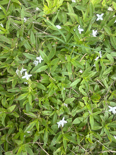
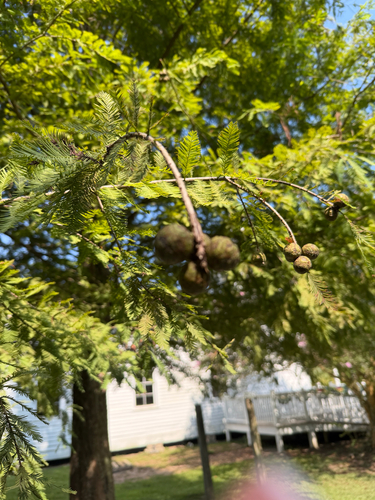
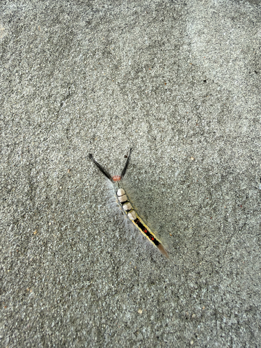
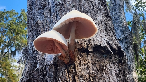
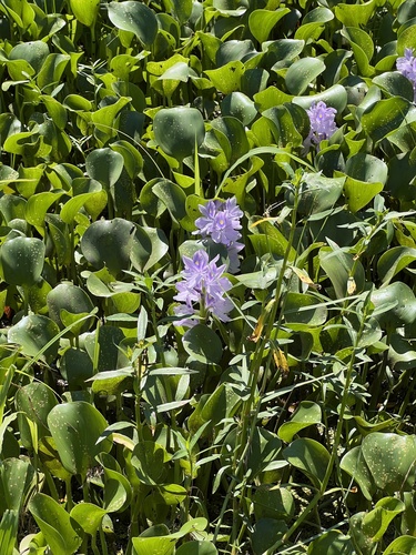
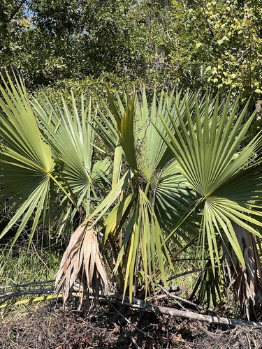
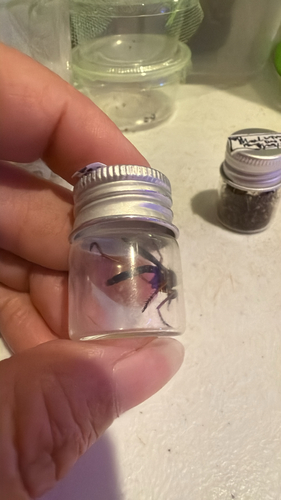
Research-grade observations from iNaturalist (within ~15 mi).
Nearest stream gauge
Events
Gallery
Sources
- • Wikipedia
- • US Census Bureau (ACS 5-year estimates)
- • NOAA National Weather Service
- • Wikidata
- • USGS Earthquake Catalog (global feed)
- • NCES via Urban Institute Education Data Portal
- • GBIF (Global Biodiversity Information Facility)
- • iNaturalist
- • CDC PLACES
- • Open-Meteo / sunrise-sunset.org
- • Wikipedia Pageviews API
- • Open Library
- • NASA EONET