Browse / Lebanon / Lebanon / Beit El Kekko
Beit El Kekko
Lebanonvillage
Demographic figures from Central Administration of Statistics (Lebanon). Overview below cites Wikipedia and may reference a different year.
City facts
Overview
As a village in Lebanon, Beit El Kekko occupies its own corner of the country. No reliable population estimate is published for this entry in the open data we rely on. Coordinates of 33.924°, 35.638° situate Beit El Kekko in the warm-temperate zone of the northern hemisphere. Solar-resource estimates put the area at about 1,953 kWh/m² of solar irradiance per year with sunshine for roughly 76% of daylight hours. Its latitude implies a climate characterised by warm summers and cool winters. The sections below expand on demographics, weather, terrain, hazards and nearby points of interest using publicly available datasets.
Summary composed automatically from structured open data on this page. See our Terms for details.
History & geography
Geography
Coordinates & boundaries from the US Census TIGER/Line shapefiles.
Climate
Air quality
Walkability
Amenities nearby
Wildlife & biodiversity
Most-observed species
- House SparrowPasser domesticus (Linnaeus, 1758) · Aves850
- Eurasian BlackbirdTurdus merula Linnaeus, 1758 · Aves762
- White-spectacled BulbulPycnonotus xanthopygos (Hemprich & Ehrenberg, 1833) · Aves732
- Hooded CrowCorvus cornix Linnaeus, 1758 · Aves730
- Graceful PriniaPrinia gracilis (Lichtenstein, 1823) · Aves630
- Asian holly oakQuercus infectoria G.Olivier · Magnoliopsida611
- Laughing DoveSpilopelia senegalensis (Linnaeus, 1766) · Aves609
- Sardinian WarblerCurruca melanocephala (J.F.Gmelin, 1789) · Aves567
Citizen-science & research observations from the Global Biodiversity Information Facility (GBIF).
Earthquake history
Most recent
- M 4.1 — 2026-09-1013 km ESE of Tyre, Lebanon
- M 4.3 — 2026-04-0652 km NW of Tyre, Lebanon
- M 4.1 — 2026-01-1066 km WNW of Ra’s Bayrūt, Lebanon
- M 4.4 — 2023-02-2265 km NW of Tyre, Lebanon
- M 4.1 — 2023-02-0819 km ENE of Bcharré, Lebanon
- M 3.3 — 2020-08-041 km ENE of Beirut, Lebanon
Events from the USGS Earthquake Catalog (global) (FDSN Event Web Service).
Photos
Sights & places nearby
Notable people from here


People born within ~10 km, from Wikidata (CC0). Click any name for their Wikipedia article.
Nearby places in Lebanon
- Zrazir31.9 mi away
- Nof HaGalil86.4 mi away · pop. 55,000
- Nazlat Issa109.5 mi away
- Herev Le'et113.2 mi away
- Bazariyah115 mi away
- Beit Wazan119.6 mi away
- Bnei Brak135.2 mi away · pop. 148,000
- Hadid141.2 mi away
- Deir Ibzi141.9 mi away
- Ramallah142 mi away · pop. 27,460
- Al-Shuyukh164.7 mi away
- Beit Kahel166 mi away
Geography & sun
Elevation, sunrise/sunset and daylight from Open-Meteo. Solar climatology from NASA POWER.
Nearby airports
Public attention
Books about this place
Recent natural events nearby
Ground air-quality sensors
Recently spotted species
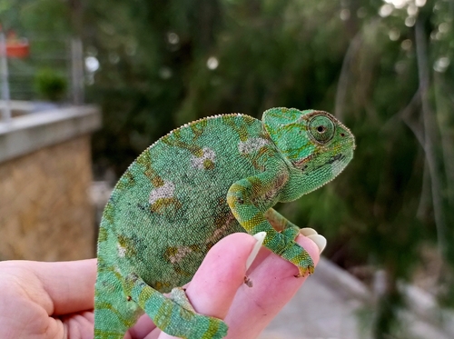
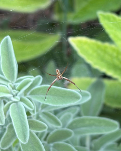

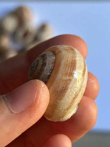
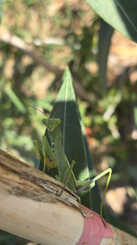
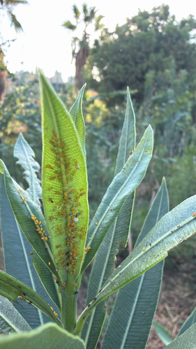
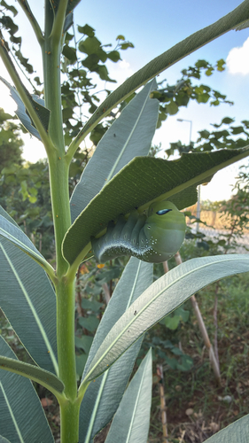


Research-grade observations from iNaturalist (within ~15 mi).
Events
Gallery
Sources
- • Wikidata
- • USGS Earthquake Catalog (global feed)
- • GBIF (Global Biodiversity Information Facility)
- • iNaturalist
- • Open-Meteo / sunrise-sunset.org