Browse / Sri Lanka / Southern / Ahungalla
Ahungalla
Southerntown
Total population
5,000
Demographic figures from Department of Census and Statistics, Sri Lanka. Overview below cites Wikipedia and may reference a different year.
City facts
Facts from Wikidata (CC0).
Overview
Ahungalla is a small coastal town, located in Galle District, Southern Province, Sri Lanka, governed by an Urban Council. It is approximately 76.6 kilometres (47.6 mi) south of Colombo and is situated at an elevation of 12 metres (39 ft) above the sea level.
Read more on WikipediaHistory & geography
History
Ahungalla is known primarily for its sandy beach, accompanied by a wide palm belt, considered to be one of the best on the island. The village is located about south of Bentota, north of the provincial capital Galle at Cape Point Ahungalla. The neighboring villages are Kosgoda to the north and Balapitiya in the south. Southeast of the town is the mangrove area of Madu Ganga. The largest and most well-known building in the town is the luxury hotel, Heritance Ahungalla (formerly Hotel Triton), designed by notable Sri Lankan architect, Geoffrey Bawa, and constructed from 1979 to 1981. As with the entire region Ahungalla was devastated by the tsunami caused by the 2004 Indian Ocean earthquake.
Excerpted from the corresponding Wikipedia article (CC BY-SA).
Geography
Coordinates & boundaries from the US Census TIGER/Line shapefiles.
Climate
Air quality
Walkability
Amenities nearby
Wildlife & biodiversity
Earthquake history
Photos
Sights & places nearby
Notable people from here


People born within ~10 km, from Wikidata (CC0). Click any name for their Wikipedia article.
Geography & sun
Elevation, sunrise/sunset and daylight from Open-Meteo. Solar climatology from NASA POWER.
Nearby airports
Public attention
Pageview totals from the Wikimedia Pageviews API.
Books about this place
Recent natural events nearby
Ground air-quality sensors
Recently spotted species
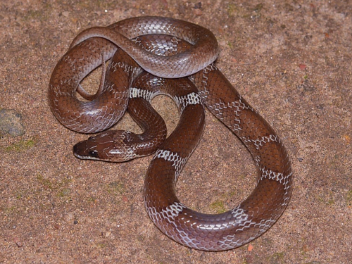
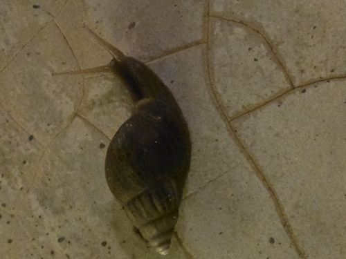
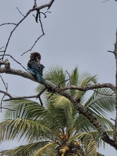
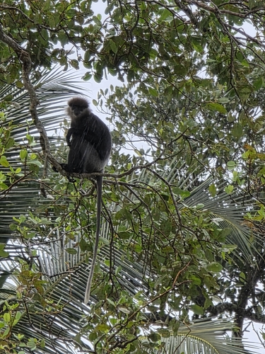
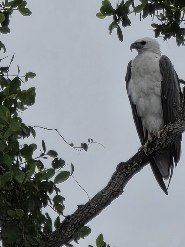
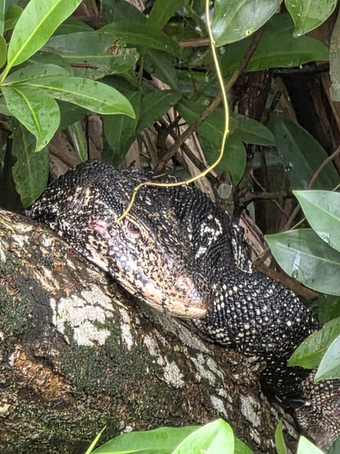
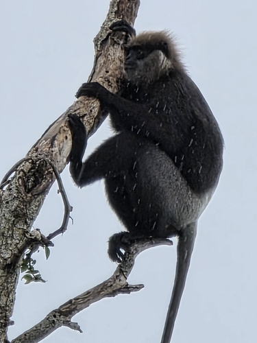
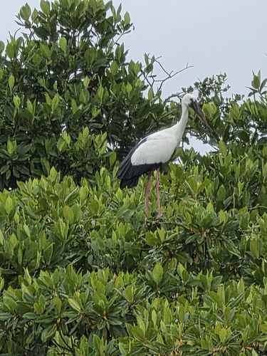
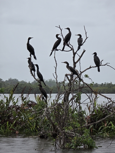
Research-grade observations from iNaturalist (within ~15 mi).
Events
Gallery
Sources
- • Wikipedia
- • Wikidata
- • iNaturalist
- • Open-Meteo / sunrise-sunset.org
- • Wikipedia Pageviews API