Browse / Sri Lanka / Southern / Ambalangoda
Ambalangoda
Southerntown

Ambalangoda
Total population
21,500
Demographic figures from Department of Census and Statistics, Sri Lanka. Overview below cites Wikipedia and may reference a different year.
City facts
Facts from Wikidata (CC0).
Overview
Ambalangoda is a coastal town in Galle District, Southern Province of Sri Lanka. The town is famous for the hand crafting of traditional demon masks and its devil dancers.
Read more on WikipediaHistory & geography
History
Owing to the abundance of cinnamon in its hinterlands, Ambalangoda was the site of a Dutch East India Company outpost in the 18th century. Consisting of a resthouse (now demolished) and a court building on a small bluff overlooking the beach, it served as the residence for the local Dutch magistrate and dignitaries traveling to Galle and Colombo. British Military Governor Frederick North is reported to have spent a night at the rest house during his tour around Ceylon in 1803. Simon Casie Chitty, in his Ceylon Gazetteer in 1833, gives the following account. In his travel guide: Book of Ceylon in 1907, Henry William Cave describes Ambalangoda as "a pleasant seaside place where good accommodation and excellent food can be obtained, and where the rare luxury of bathing in the open sea can be enjoyed in perfect security". The rest house, said to have been a comfortable hostelry consisting of eight bedrooms, was razed by an act of a local politician in 2009. The courthouse survives to date. Cave also noted in his 1910 book, The Ceylon Government Railway, that Ambalangoda and the surrounding hamlets had a population of 25,000.
Geography
Ambalangoda is located on the coast of the Indian Ocean, approximately south of Colombo, at an elevation of above sea level.
Excerpted from the corresponding Wikipedia article (CC BY-SA).
Geography
Coordinates & boundaries from the US Census TIGER/Line shapefiles.
Climate
Air quality
Walkability
Amenities nearby
Wildlife & biodiversity
Earthquake history
Photos
Sights & places nearby
Notable people from here
Nearby places in Southern
- Uragasmanhandiya7.4 mi away · pop. 15,000
- Induruwa9.8 mi away · pop. 10,000
- Pahala Keembiya14.4 mi away
- Thalgampala20.1 mi away · pop. 5,000
- Polpagoada24 mi away · pop. 5,000
- Koggala25.2 mi away · pop. 5,000
- Deegoda27 mi away · pop. 5,000
- Imaduwa27 mi away · pop. 15,000
- Eluketiya27.8 mi away · pop. 5,000
- Kothagoda29.2 mi away · pop. 5,000
- Nimalawa29.7 mi away · pop. 5,000
- Ganhela30.2 mi away · pop. 5,000
Geography & sun
Elevation, sunrise/sunset and daylight from Open-Meteo. Solar climatology from NASA POWER.
Nearby airports
Public attention
Pageview totals from the Wikimedia Pageviews API.
Books about this place
Recent natural events nearby
Ground air-quality sensors
Recently spotted species
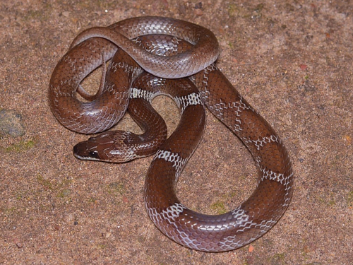
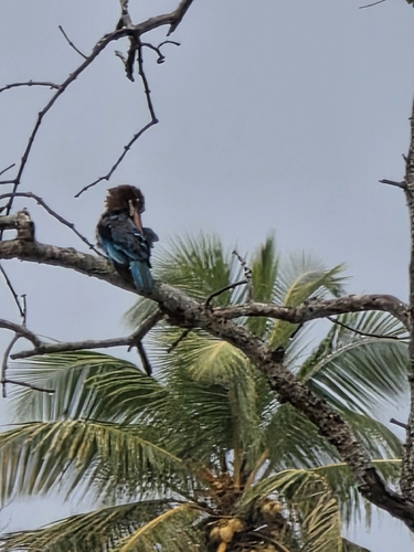
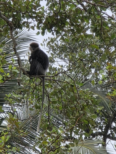
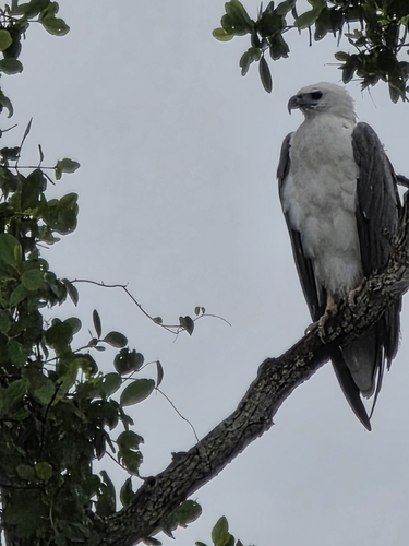
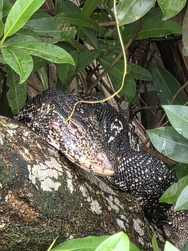
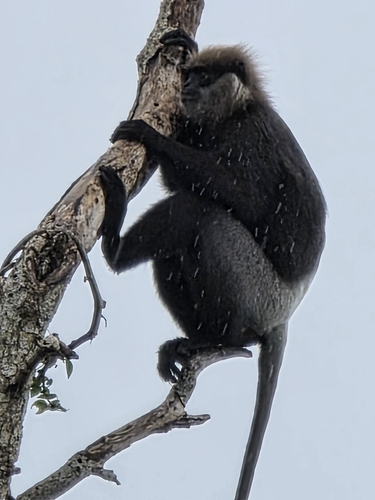
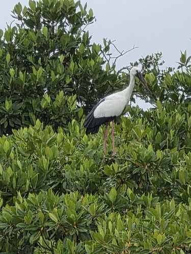
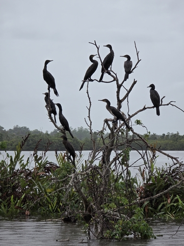
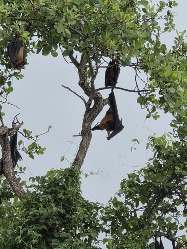
Research-grade observations from iNaturalist (within ~15 mi).
Events
Gallery
Sources
- • Wikipedia
- • Wikidata
- • iNaturalist
- • Open-Meteo / sunrise-sunset.org
- • Wikipedia Pageviews API