Browse / Sri Lanka / Uva / Badulla
Badulla
Uvacity

Badulla
Total population
110,000
Demographic figures from Department of Census and Statistics, Sri Lanka. Overview below cites Wikipedia and may reference a different year.
City facts
Facts from Wikidata (CC0).
Overview
Badulla is the capital and the largest city of Uva Province situated in the central hills of Sri Lanka. It is the capital city of Uva Province and the Badulla District.
Read more on WikipediaHistory & geography
Geography
Badulla is located in the southeast of Kandy, almost encircled by the Badulu Oya River, about above sea level and is surrounded by tea plantations. The city is overshadowed by the Namunukula range of mountains (highest peak above sea level). It was a base of a pre-colonial Sinhalese local prince (regional king) who ruled the area under the main King in Kandy before it became part of the British Empire. Later, it became one of the provincial administrative hubs of the British rulers. The city was the terminus of upcountry railway line built by the British in order to take mainly tea plantation products to Colombo. Badulla has a tropical monsoon climate (Köppen: Am) characterized by mild temperatures (18 °C-26 °C) and a significant amount of rainfall. Badulla has a wet season from October to January, and has cooler temperatures in December to February compared to the rest of the year.
Excerpted from the corresponding Wikipedia article (CC BY-SA).
Geography
Coordinates & boundaries from the US Census TIGER/Line shapefiles.
Climate
Air quality
Walkability
Amenities nearby
Wildlife & biodiversity
Earthquake history
Photos
Sights & places nearby
Notable people from here


People born within ~10 km, from Wikidata (CC0). Click any name for their Wikipedia article.
Nearby places in Uva
- Puwakgodamulla0.8 mi away · pop. 1,000
- Alugolla1 mi away · pop. 1,000
- Rideepana1.6 mi away · pop. 1,000
- Eladaluwa1.6 mi away
- Bogahamaditta1.9 mi away
- Unagolla2.4 mi away
- Hali-Ela2.9 mi away · pop. 15,000
- Ambagahaoya2.9 mi away · pop. 1,000
- Viyadiguna3 mi away
- Ketawala3.1 mi away · pop. 1,000
- Kendagolla3.1 mi away
- Kandegedara3.2 mi away · pop. 1,000
Geography & sun
Elevation, sunrise/sunset and daylight from Open-Meteo. Solar climatology from NASA POWER.
Nearby airports
Public attention
Pageview totals from the Wikimedia Pageviews API.
Books about Badulla
Search results from Open Library.
Recent natural events nearby
Ground air-quality sensors
Recently spotted species
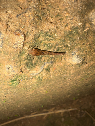
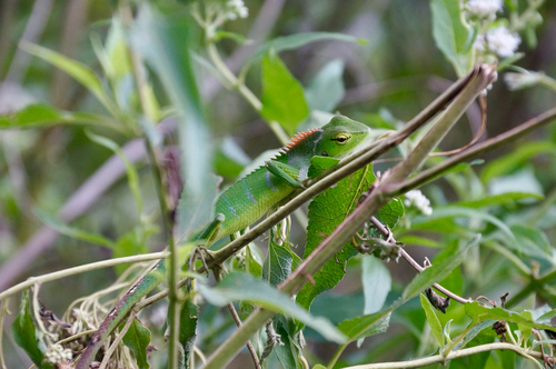
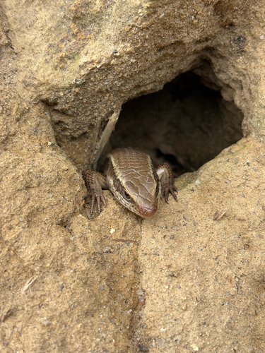
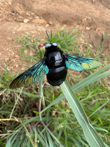
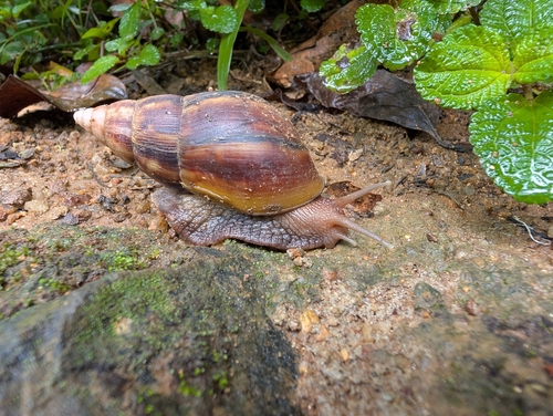
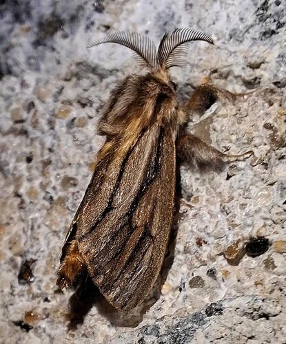
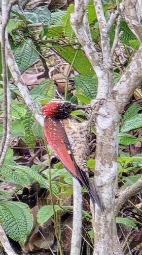
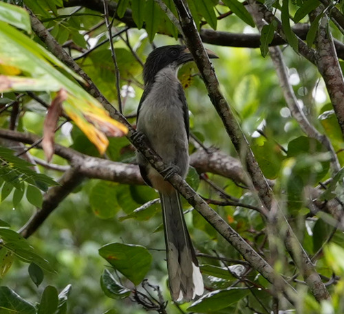
Research-grade observations from iNaturalist (within ~15 mi).
Events
Gallery
Sources
- • Wikipedia
- • Wikidata
- • iNaturalist
- • Open-Meteo / sunrise-sunset.org
- • Wikipedia Pageviews API
- • Open Library