Browse / Sri Lanka / North Central / Bakamuna
Bakamuna
North Centraltown

Bakamuna
Total population
5,000
Demographic figures from Department of Census and Statistics, Sri Lanka. Overview below cites Wikipedia and may reference a different year.
City facts
Facts from Wikidata (CC0).
Overview
Bakamuna is a village town in Sri Lanka. It is located within North Central Province.
Read more on WikipediaHistory & geography
History
It has many ancient ruins in Sri Lanka such as Buduruwayaya temple, Oru bedi Siyambalawa, and the city is located near Moragahakanda reservoir with Mahaweli River tributary Amban Ganga. At the time of King Mahasen, the village was known as "Bakka amuna - Bakka Dam". The city got its name from the reservoir called Bak Amuna Pathaha which had a large basin (reservoir). Today this reservoir has been rehabilitated as a tank and it belongs to the Minneriya Giritale Forest Reserve. An agricultural settlement based on paddy cultivation, the settlements in this forest area were established in the 1940s during the time of Prime Minister D. S. Senanayake. The nearby Amban River originates in the vicinity of the Dumbara Hills in Matale and the Nalanda Hills. King Vasabha built the Elahera Anicut and Canal which is 48 km in length, by crossing the anicuts at the Elahera, Ambanganga, a major branch of the Mahaweli. King Mahasen later extended this canal. Heerati Oya, Amboku Oya and Kalu Ganga are tributaries of Amban Ganga. Heerati Oya and Kalu Ganga join the Amban Ganga near Bakamuna. In 1988, a corundum-bearing skarn deposit was discovered. The city is bordered by Minneriya National Park where continuous human-wildlife conflict is a common scene around the city. The cities around Bakamuna are, Dambulla, Puwakgahaulpota, Elahera, Siyambalawa, Heeratiya, Aththanakadawala, Kalu ganga, Handungamuwa, Damanayaya, Diyabeduma, Giritale, Atharagallawa, Kottapitiya and Galmulla. Yodha Ela canal flows through the Amban River and supplies water to the paddy fields in the area. Orubedi Siyambalawa is located on the banks of the Yoda Ela. The historic tamarind tree is also known as an archeological protection plant where the legends has it that King Mahasen traveled along the Elahera…
Excerpted from the corresponding Wikipedia article (CC BY-SA).
Geography
Coordinates & boundaries from the US Census TIGER/Line shapefiles.
Climate
Air quality
Walkability
Amenities nearby
Wildlife & biodiversity
Earthquake history
Photos
Sights & places nearby
Notable people from here
Nearby places in North Central
- Bakamooneulpotha1.5 mi away
- Puwakgahaulpotha3.5 mi away
- Aththanakadawala7.6 mi away
- Kahatagahapitiya8.1 mi away
- Konduruwewa8.4 mi away
- Angamedilla9.9 mi away · pop. 1,000
- Diyabeduma11.4 mi away · pop. 5,000
- Moragaswewa12.6 mi away
- Katukeliyawa14 mi away
- Habarattawala14.9 mi away
- Kandalama East15.4 mi away
- Giranegama16.2 mi away
Geography & sun
Elevation, sunrise/sunset and daylight from Open-Meteo. Solar climatology from NASA POWER.
Nearby airports
Public attention
Pageview totals from the Wikimedia Pageviews API.
Books about this place
Recent natural events nearby
Ground air-quality sensors
Recently spotted species
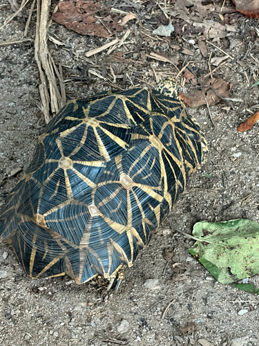
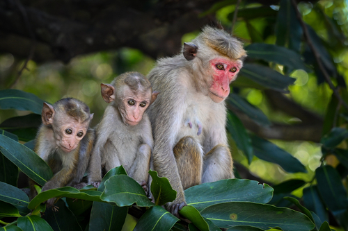
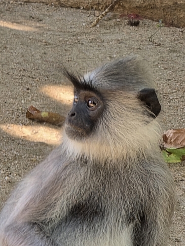
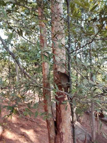
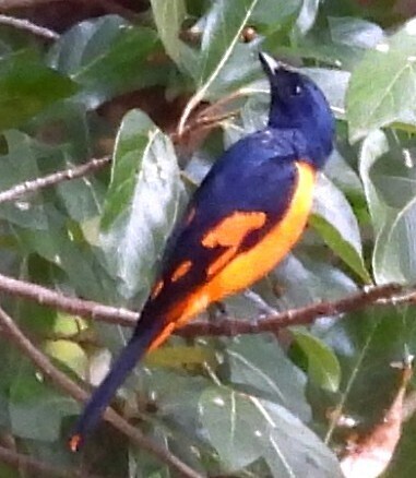
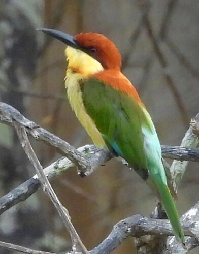
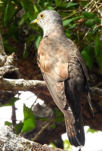
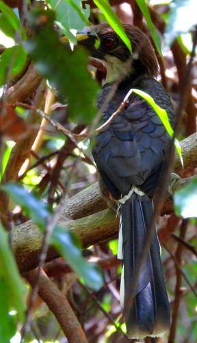
Research-grade observations from iNaturalist (within ~15 mi).
Events
Gallery
Sources
- • Wikipedia
- • Wikidata
- • iNaturalist
- • Open-Meteo / sunrise-sunset.org
- • Wikipedia Pageviews API